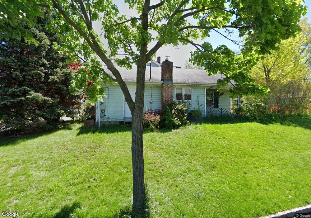
7 Shunpike Rd Springfield, NJ 07081
Estimated Value: $467,045 - $554,000
Studio
--
Bath
1,008
Sq Ft
$506/Sq Ft
Est. Value
About This Home
This home is located at 7 Shunpike Rd, Springfield, NJ 07081 and is currently estimated at $510,511, approximately $506 per square foot. 7 Shunpike Rd is a home located in Union County with nearby schools including Jonathan Dayton High School and St James The Apostle School.
Ownership History
Date
Name
Owned For
Owner Type
Purchase Details
Closed on
Dec 16, 2002
Sold by
Bollaro Mark
Bought by
Ruzol Arnel and Ruzol Sarah
Current Estimated Value
Home Financials for this Owner
Home Financials are based on the most recent Mortgage that was taken out on this home.
Original Mortgage
$218,000
Outstanding Balance
$92,158
Interest Rate
6.02%
Estimated Equity
$418,353
Purchase Details
Closed on
Oct 17, 1997
Sold by
Bollaro Joanne
Bought by
Bollaro Mark
Home Financials for this Owner
Home Financials are based on the most recent Mortgage that was taken out on this home.
Original Mortgage
$106,800
Interest Rate
7.48%
Mortgage Type
VA
Create a Home Valuation Report for This Property
The Home Valuation Report is an in-depth analysis detailing your home's value as well as a comparison with similar homes in the area
Home Values in the Area
Average Home Value in this Area
Purchase History
| Date | Buyer | Sale Price | Title Company |
|---|---|---|---|
| Ruzol Arnel | $230,000 | -- | |
| Bollaro Mark | -- | -- | |
| Bollaro Mark A | $112,500 | -- |
Source: Public Records
Mortgage History
| Date | Status | Borrower | Loan Amount |
|---|---|---|---|
| Open | Ruzol Arnel | $218,000 | |
| Previous Owner | Bollaro Mark A | $106,800 |
Source: Public Records
Tax History
| Year | Tax Paid | Tax Assessment Tax Assessment Total Assessment is a certain percentage of the fair market value that is determined by local assessors to be the total taxable value of land and additions on the property. | Land | Improvement |
|---|---|---|---|---|
| 2025 | $7,496 | $315,600 | $207,500 | $108,100 |
| 2024 | $7,372 | $315,600 | $207,500 | $108,100 |
| 2023 | $7,372 | $315,600 | $207,500 | $108,100 |
| 2022 | $6,845 | $315,600 | $207,500 | $108,100 |
| 2021 | $7,088 | $95,200 | $52,300 | $42,900 |
| 2020 | $6,977 | $95,200 | $52,300 | $42,900 |
| 2019 | $6,883 | $95,200 | $52,300 | $42,900 |
| 2018 | $6,759 | $95,200 | $52,300 | $42,900 |
| 2017 | $6,574 | $95,200 | $52,300 | $42,900 |
| 2016 | $6,446 | $95,200 | $52,300 | $42,900 |
| 2015 | $6,371 | $95,200 | $52,300 | $42,900 |
| 2014 | $6,251 | $95,200 | $52,300 | $42,900 |
Source: Public Records
Map
Nearby Homes
- 294 Mountain Ave
- 13 Evergreen Ave
- 559 S Springfield Ave Unit 559
- 2 S Audlen Terrace
- 148 Locust Dr
- 238 Riverside Dr
- 23 Diven St
- 24 Brook St
- 20 Archbridge Ln
- 300 Wilson Rd Unit 24D
- 105 Battle Hill Ave
- 798 Pinewood Rd
- 67 Battle Hill Ave
- 701 Mountain Ave
- 750 Andover Rd
- 445 Morris Ave Unit 4C
- 445 Morris Ave Unit 11D
- 445 Morris Ave Unit D11
- 170 Short Hills Ave
- 5B Troy Dr Unit 1
Your Personal Tour Guide
Ask me questions while you tour the home.