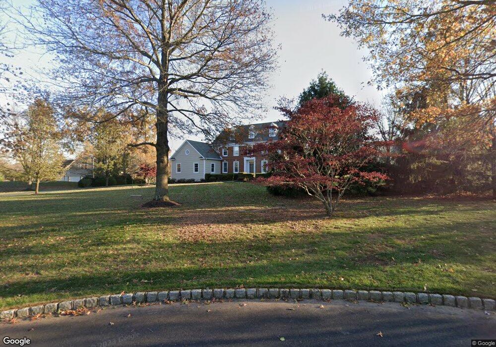
7 Silver Trail Cir Newtown, PA 18940
Estimated Value: $1,475,702 - $1,844,000
4
Beds
4
Baths
4,262
Sq Ft
$389/Sq Ft
Est. Value
About This Home
This home is located at 7 Silver Trail Cir, Newtown, PA 18940 and is currently estimated at $1,658,426, approximately $389 per square foot. 7 Silver Trail Cir is a home located in Bucks County with nearby schools including Sol Feinstone Elementary School, Newtown Middle School, and Council Rock High School North.
Ownership History
Date
Name
Owned For
Owner Type
Purchase Details
Closed on
Jan 12, 2015
Sold by
Thomas Mark D
Bought by
Thomas Mark D and Thomas Aliza
Current Estimated Value
Home Financials for this Owner
Home Financials are based on the most recent Mortgage that was taken out on this home.
Original Mortgage
$575,098
Outstanding Balance
$202,033
Interest Rate
3.92%
Mortgage Type
New Conventional
Estimated Equity
$1,456,393
Purchase Details
Closed on
Jul 16, 2009
Sold by
Davidson William and Davidson Cynthia F
Bought by
Thomas Mark D
Home Financials for this Owner
Home Financials are based on the most recent Mortgage that was taken out on this home.
Original Mortgage
$660,800
Interest Rate
5.47%
Mortgage Type
Unknown
Purchase Details
Closed on
Mar 31, 1993
Bought by
Davidson William and Davidson Cynthia F
Create a Home Valuation Report for This Property
The Home Valuation Report is an in-depth analysis detailing your home's value as well as a comparison with similar homes in the area
Home Values in the Area
Average Home Value in this Area
Purchase History
| Date | Buyer | Sale Price | Title Company |
|---|---|---|---|
| Thomas Mark D | -- | Expert Title Llc | |
| Thomas Mark D | $826,000 | First American Title Ins Co | |
| Davidson William | $149,500 | -- |
Source: Public Records
Mortgage History
| Date | Status | Borrower | Loan Amount |
|---|---|---|---|
| Open | Thomas Mark D | $575,098 | |
| Closed | Thomas Mark D | $660,800 |
Source: Public Records
Tax History Compared to Growth
Tax History
| Year | Tax Paid | Tax Assessment Tax Assessment Total Assessment is a certain percentage of the fair market value that is determined by local assessors to be the total taxable value of land and additions on the property. | Land | Improvement |
|---|---|---|---|---|
| 2025 | $17,550 | $102,600 | $12,840 | $89,760 |
| 2024 | $17,550 | $102,600 | $12,840 | $89,760 |
| 2023 | $17,069 | $102,600 | $12,840 | $89,760 |
| 2022 | $16,981 | $102,600 | $12,840 | $89,760 |
| 2021 | $16,751 | $102,600 | $12,840 | $89,760 |
| 2020 | $16,350 | $102,600 | $12,840 | $89,760 |
| 2019 | $15,971 | $102,600 | $12,840 | $89,760 |
| 2018 | $15,673 | $102,600 | $12,840 | $89,760 |
| 2017 | $15,244 | $102,600 | $12,840 | $89,760 |
| 2016 | $15,474 | $102,600 | $12,840 | $89,760 |
| 2015 | -- | $102,600 | $12,840 | $89,760 |
| 2014 | -- | $102,600 | $12,840 | $89,760 |
Source: Public Records
Map
Nearby Homes
- 69 Hillyer Ln
- 25 Hillyer Ln
- 22 Delaney Dr
- 2034 Woodland Rd
- 7 Grace Cir
- 3 Tines Field Path
- 220 Stoopville Rd
- 5 Pansy Ct
- 1659 Wrightstown Rd
- Lot 4 Ava Ct
- 9 Tulip Dr
- 509 Wheatfield Ln
- 4 Gladiola Cir
- 10 Amy Cir
- 19 Goldney Dr
- 8 Periwinkle Place
- 316 Monterey Place
- 83 Cypress Place
- 102 Broadleaf Place
- 291 Sequoia Dr
- 5 Silver Trail Cir
- 9 Silver Trail Cir
- 8 Silver Trail Cir
- 6 Silver Trail Cir
- 10 Silver Trail Cir
- 4 Silver Trail Cir
- 2 Silver Trail Cir
- 7 Woodland Rd
- Lot Creamery Rd
- 935 Creamery Rd
- 952 Creamery Rd
- 5 Woodland Rd
- 9 Woodland Rd
- 3 Mallard Pond Cir
- 29 Brown Ln
- 31 Brown Ln
- 27 Brown Ln
- 33 Brown Ln
- 25 Brown Ln
- 936 Creamery Rd