7 Spring Ct O Fallon, MO 63366
Estimated Value: $409,000 - $480,000
3
Beds
3
Baths
1,778
Sq Ft
$250/Sq Ft
Est. Value
About This Home
This home is located at 7 Spring Ct, O Fallon, MO 63366 and is currently estimated at $444,742, approximately $250 per square foot. 7 Spring Ct is a home located in St. Charles County with nearby schools including Mount Hope Elementary School, Fort Zumwalt North Middle School, and Fort Zumwalt North High School.
Ownership History
Date
Name
Owned For
Owner Type
Purchase Details
Closed on
Jul 7, 2015
Sold by
Ford James M and Ford Nancy T
Bought by
Revoc James M Ford and Revoc Nancy T Ford Joint
Current Estimated Value
Purchase Details
Closed on
Apr 5, 2001
Sold by
Recman Milan and Recman Brenda Sue
Bought by
Ford James M and Ford Nancy T
Home Financials for this Owner
Home Financials are based on the most recent Mortgage that was taken out on this home.
Original Mortgage
$158,950
Outstanding Balance
$58,508
Interest Rate
7%
Estimated Equity
$386,234
Create a Home Valuation Report for This Property
The Home Valuation Report is an in-depth analysis detailing your home's value as well as a comparison with similar homes in the area
Home Values in the Area
Average Home Value in this Area
Purchase History
| Date | Buyer | Sale Price | Title Company |
|---|---|---|---|
| Revoc James M Ford | -- | None Available | |
| Ford James M | $187,000 | -- |
Source: Public Records
Mortgage History
| Date | Status | Borrower | Loan Amount |
|---|---|---|---|
| Open | Ford James M | $158,950 |
Source: Public Records
Tax History
| Year | Tax Paid | Tax Assessment Tax Assessment Total Assessment is a certain percentage of the fair market value that is determined by local assessors to be the total taxable value of land and additions on the property. | Land | Improvement |
|---|---|---|---|---|
| 2025 | $3,698 | $64,532 | -- | -- |
| 2023 | $3,696 | $58,973 | $0 | $0 |
| 2022 | $3,656 | $54,273 | $0 | $0 |
| 2021 | $3,653 | $54,273 | $0 | $0 |
| 2020 | $3,513 | $50,425 | $0 | $0 |
| 2019 | $3,502 | $50,425 | $0 | $0 |
| 2018 | $3,361 | $46,253 | $0 | $0 |
| 2017 | $3,345 | $46,253 | $0 | $0 |
| 2016 | $3,008 | $41,402 | $0 | $0 |
| 2015 | $2,794 | $41,402 | $0 | $0 |
| 2014 | $2,659 | $38,418 | $0 | $0 |
Source: Public Records
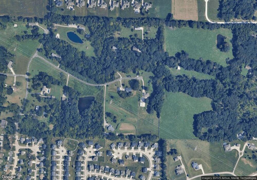
Map
Nearby Homes
- 319 Narrowleaf Ln
- 3.59 Acres Matteson Blvd
- 7.19 Acres Matteson Blvd
- 3.6 Acres Matteson Blvd
- 1315 New Charter Ln
- 1351 New Charter Ln
- 765 Koch Rd
- 207 Bluestem Ln
- 110 Cobble Rd
- 1020 Ashfield Ln
- 1251 Lydia Ln
- 140 Park Ridge Dr
- 61 Brimstone Corner
- 1548 Hunters Meadow Dr
- 214 Maryland Dr Unit 26B
- 231 England Dr
- 990 Stonecastle Dr
- 710 Longfellow Cir
- 201 Old Schaeffer Ln
- 1215 Cypress Dr
- 5 Spring Ct
- 48 Units 4bl Lots X12@springhurst
- 6 Spring Ct
- 4A Spring River Dr Unit 4-3A
- 324 Narrowleaf Ln
- 324 Narrow Leaf Ln
- 4 Spring Ct
- 8 Spring Ct
- 322 Narrowleaf Ln
- 316 Narrowleaf Ln
- 318 Narrowleaf Ln
- 326 Narrowleaf Ln
- 420 Fox Sedge Ct
- 312 Narrowleaf Ln
- 3 Spring Ct
- 419 Fox Sedge Ct
- 321 Narrowleaf Ln
- 331 Narrowleaf Ln
- 416 Fox Sedge Ct
- 310 Narrowleaf Ln
Your Personal Tour Guide
Ask me questions while you tour the home.