7 Squibnocket Farm Rd Chilmark, MA 02535
Chilmark NeighborhoodEstimated Value: $2,980,000 - $5,738,000
6
Beds
3
Baths
2,653
Sq Ft
$1,544/Sq Ft
Est. Value
About This Home
This home is located at 7 Squibnocket Farm Rd, Chilmark, MA 02535 and is currently estimated at $4,096,242, approximately $1,544 per square foot. 7 Squibnocket Farm Rd is a home located in Dukes County with nearby schools including Martha's Vineyard Regional High School.
Ownership History
Date
Name
Owned For
Owner Type
Purchase Details
Closed on
May 17, 2024
Sold by
Laurie David Lt and David
Bought by
Thorpe Robert B
Current Estimated Value
Purchase Details
Closed on
Apr 13, 2022
Sold by
Thorpe Robert B
Bought by
Laurie David Lt and David
Purchase Details
Closed on
Apr 7, 2022
Sold by
Flanders Frances T Est and Flanders
Bought by
Laurie David Lt and David
Purchase Details
Closed on
Aug 24, 1993
Sold by
Smith Richard W
Bought by
Flanders Frances C
Home Financials for this Owner
Home Financials are based on the most recent Mortgage that was taken out on this home.
Original Mortgage
$160,000
Interest Rate
7.11%
Mortgage Type
Purchase Money Mortgage
Create a Home Valuation Report for This Property
The Home Valuation Report is an in-depth analysis detailing your home's value as well as a comparison with similar homes in the area
Home Values in the Area
Average Home Value in this Area
Purchase History
| Date | Buyer | Sale Price | Title Company |
|---|---|---|---|
| Thorpe Robert B | -- | None Available | |
| Thorpe Robert B | -- | None Available | |
| Laurie David Lt | -- | None Available | |
| Laurie David Lt | -- | None Available | |
| Laurie David Lt | $2,550,000 | None Available | |
| Flanders Frances C | $210,000 | -- |
Source: Public Records
Mortgage History
| Date | Status | Borrower | Loan Amount |
|---|---|---|---|
| Previous Owner | Flanders Frances C | $160,000 |
Source: Public Records
Tax History
| Year | Tax Paid | Tax Assessment Tax Assessment Total Assessment is a certain percentage of the fair market value that is determined by local assessors to be the total taxable value of land and additions on the property. | Land | Improvement |
|---|---|---|---|---|
| 2025 | $9,432 | $4,192,000 | $3,635,800 | $556,200 |
| 2024 | $8,549 | $4,032,500 | $3,506,400 | $526,100 |
| 2023 | $7,932 | $3,015,800 | $2,718,900 | $296,900 |
| 2022 | $7,851 | $2,784,100 | $2,531,800 | $252,300 |
| 2021 | $7,989 | $2,745,200 | $2,531,800 | $213,400 |
| 2020 | $7,704 | $2,693,700 | $2,484,400 | $209,300 |
| 2019 | $7,704 | $2,675,100 | $2,484,400 | $190,700 |
| 2018 | $7,357 | $2,675,100 | $2,484,400 | $190,700 |
| 2017 | $7,151 | $2,668,100 | $2,481,100 | $187,000 |
| 2016 | $7,221 | $2,664,500 | $2,481,100 | $183,400 |
| 2015 | $6,754 | $2,567,900 | $2,481,100 | $86,800 |
| 2014 | $6,791 | $2,738,500 | $2,617,800 | $120,700 |
Source: Public Records
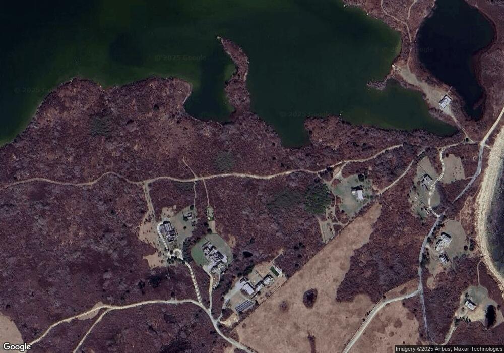
Map
Nearby Homes
- 64 Squibnocket Farm Rd
- 16 Shotnaigher Ln
- 18 Spruce Gate Rd
- 9 Moshup Trail
- 7 Clay Pit Ln
- 4 Nomans Watch Rd
- 654 Lighthouse Rd
- 00 Oxcart Rd Unit 28
- 00 Moshup Trail Unit 6
- 00 Moshup Trail Unit 7-5
- 00 Moshup Trail
- 43 N Slope Ln
- 382 Lighthouse Rd
- 25 Fulling Mill Rd
- 21 & 25 Fulling Mill Rd
- 00 Old Field Rd
- 6 Trails End
- 46 Tiercel Ln
- 308 South Rd
- 0 Moshup Trail Unit 32500206
- 7 Squibnocket Rd
- 0 Squibnocket Rd
- 18 Blacksmith Valley Rd
- 64 Squibnocket Rd
- 16 Squibnocket Rd
- 21 Squibnocket Rd
- 21 Squibnocket Rd
- 17 Blacksmith Valley Rd
- 78 Blue Barque Ln
- 13 Blue Stem Ln
- 188 State Rd
- 6 Storks Nest Ln
- 3 Blue Stem Ln
- 16 Red Valley Rd
- 24 Blacksmith Valley Rd
- 51 Squibnocket Rd
- 55 Squibnocket Rd
- 19 Quitsa Ln
- 20 Quitsa Ln
- 22 Quitsa Ln
Your Personal Tour Guide
Ask me questions while you tour the home.