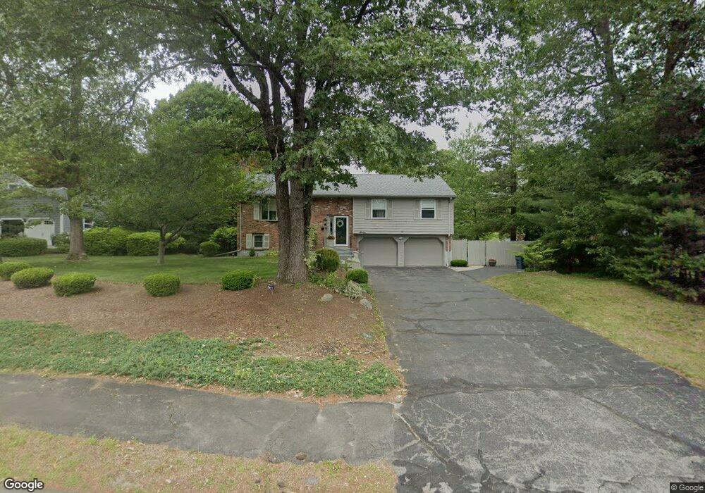
7 Squire Ct East Walpole, MA 02032
Estimated Value: $670,000 - $843,000
3
Beds
2
Baths
1,292
Sq Ft
$592/Sq Ft
Est. Value
About This Home
This home is located at 7 Squire Ct, East Walpole, MA 02032 and is currently estimated at $764,227, approximately $591 per square foot. 7 Squire Ct is a home located in Norfolk County with nearby schools including Old Post Road School, Walpole Middle School, and Walpole High School.
Ownership History
Date
Name
Owned For
Owner Type
Purchase Details
Closed on
Jun 7, 2022
Sold by
Distaso Katherine A and Delaney-Distaso Emily J
Bought by
Delaney-Distaso Katherine
Current Estimated Value
Home Financials for this Owner
Home Financials are based on the most recent Mortgage that was taken out on this home.
Original Mortgage
$493,564
Outstanding Balance
$452,421
Interest Rate
5.1%
Mortgage Type
FHA
Estimated Equity
$311,806
Purchase Details
Closed on
Aug 10, 2017
Sold by
Cauldwell Richard and Cauldwell Mary C
Bought by
Delaney-Distaso A
Home Financials for this Owner
Home Financials are based on the most recent Mortgage that was taken out on this home.
Original Mortgage
$420,000
Interest Rate
3.88%
Mortgage Type
New Conventional
Create a Home Valuation Report for This Property
The Home Valuation Report is an in-depth analysis detailing your home's value as well as a comparison with similar homes in the area
Home Values in the Area
Average Home Value in this Area
Purchase History
We collect this data history from publicly available records. To have your information removed, we recommend requesting removal directly through your county’s website.
| Date | Buyer | Sale Price | Title Company |
|---|---|---|---|
| Delaney-Distaso Katherine | -- | None Available | |
| Delaney-Distaso Katherine | -- | None Available | |
| Delaney-Distaso A | $499,000 | -- |
Source: Public Records
Mortgage History
We collect this data history from publicly available records. To have your information removed, we recommend requesting removal directly through your county’s website.
| Date | Status | Borrower | Loan Amount |
|---|---|---|---|
| Open | Delaney-Distaso Katherine | $493,564 | |
| Closed | Delaney-Distaso Katherine | $493,564 | |
| Previous Owner | Delaney-Distaso A | $420,000 |
Source: Public Records
Tax History
| Year | Tax Paid | Tax Assessment Tax Assessment Total Assessment is a certain percentage of the fair market value that is determined by local assessors to be the total taxable value of land and additions on the property. | Land | Improvement |
|---|---|---|---|---|
| 2025 | $8,419 | $656,200 | $354,300 | $301,900 |
| 2024 | $8,229 | $622,500 | $340,600 | $281,900 |
| 2023 | $7,853 | $565,400 | $296,200 | $269,200 |
| 2022 | $7,435 | $514,200 | $274,300 | $239,900 |
| 2021 | $7,148 | $481,700 | $258,700 | $223,000 |
| 2020 | $7,068 | $471,500 | $244,100 | $227,400 |
| 2019 | $6,833 | $452,500 | $234,700 | $217,800 |
| 2018 | $6,520 | $427,000 | $226,600 | $200,400 |
| 2017 | $6,311 | $411,700 | $217,900 | $193,800 |
| 2016 | $6,126 | $393,700 | $209,500 | $184,200 |
| 2015 | $6,040 | $384,700 | $208,000 | $176,700 |
| 2014 | $5,782 | $366,900 | $208,000 | $158,900 |
Source: Public Records
Map
Nearby Homes
- 4 Dorset Ln
- 29 Pilgrim Way
- 1 Providence Hwy
- 53 Highland St
- 40 Neal St
- 142 Baker St
- 2 Rainbow Pond Dr Unit 7
- 19 Rainbow Pond Dr Unit B2
- 5 Powder House Ln Unit 5
- 10 Country Club Dr
- 0 Charlotte Rd
- 1108 Pennington Dr Unit 1108
- 20 Bullard St
- 635 Old Post Rd Unit 303
- 404 Centre Ln
- 29 Clapp St
- 98 Sumner St
- 560 Common St
- 510 Common St
- 51 Cape Club Dr Unit 37
Your Personal Tour Guide
Ask me questions while you tour the home.