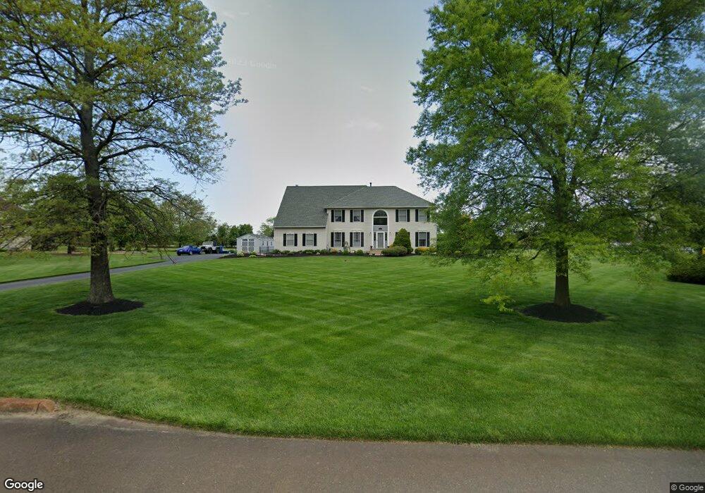
7 Stirling Way Lumberton, NJ 08048
Estimated Value: $777,000 - $907,000
--
Bed
--
Bath
2,758
Sq Ft
$308/Sq Ft
Est. Value
About This Home
This home is located at 7 Stirling Way, Lumberton, NJ 08048 and is currently estimated at $849,184, approximately $307 per square foot. 7 Stirling Way is a home located in Burlington County with nearby schools including Ashbrook Elementary School, Bobby’s Run School, and Lumberton Middle School.
Ownership History
Date
Name
Owned For
Owner Type
Purchase Details
Closed on
Sep 28, 2007
Sold by
Maag Michael E and Maag Liane D
Bought by
Mccarthy James P and Mccarthy Joyce L
Current Estimated Value
Home Financials for this Owner
Home Financials are based on the most recent Mortgage that was taken out on this home.
Original Mortgage
$54,500
Interest Rate
6.17%
Mortgage Type
Stand Alone Second
Purchase Details
Closed on
Jun 13, 1994
Sold by
88 Othen Corp
Bought by
Maag Michael E and Maag Liane D
Create a Home Valuation Report for This Property
The Home Valuation Report is an in-depth analysis detailing your home's value as well as a comparison with similar homes in the area
Home Values in the Area
Average Home Value in this Area
Purchase History
| Date | Buyer | Sale Price | Title Company |
|---|---|---|---|
| Mccarthy James P | $560,000 | None Available | |
| Maag Michael E | $275,000 | Citizens Title Ins Agency In |
Source: Public Records
Mortgage History
| Date | Status | Borrower | Loan Amount |
|---|---|---|---|
| Closed | Mccarthy James P | $54,500 | |
| Open | Mccarthy James P | $436,000 |
Source: Public Records
Tax History Compared to Growth
Tax History
| Year | Tax Paid | Tax Assessment Tax Assessment Total Assessment is a certain percentage of the fair market value that is determined by local assessors to be the total taxable value of land and additions on the property. | Land | Improvement |
|---|---|---|---|---|
| 2025 | $13,587 | $510,400 | $161,000 | $349,400 |
| 2024 | $12,775 | $510,400 | $161,000 | $349,400 |
| 2023 | $12,775 | $510,400 | $161,000 | $349,400 |
| 2022 | $12,479 | $510,400 | $161,000 | $349,400 |
| 2021 | $12,444 | $510,400 | $161,000 | $349,400 |
| 2020 | $12,336 | $510,400 | $161,000 | $349,400 |
| 2019 | $12,199 | $510,400 | $161,000 | $349,400 |
| 2018 | $12,015 | $510,400 | $161,000 | $349,400 |
| 2017 | $11,790 | $510,400 | $161,000 | $349,400 |
| 2016 | $11,535 | $510,400 | $161,000 | $349,400 |
| 2015 | $11,448 | $510,400 | $161,000 | $349,400 |
| 2014 | $11,014 | $510,400 | $161,000 | $349,400 |
Source: Public Records
Map
Nearby Homes
- 11 Stirling Way
- 25 Sunflower Cir
- 18 Azalea Dr
- 6 Applewood Ct
- 23 Creek Rd
- 77 Parry Dr
- 5 S Deer Place
- 12 Bancroft Ln
- 485 Main St
- 11 Tyler Place
- 26 Chestnut St
- 587 Main St
- Ballad Plan at Longbridge Farms - Longbridge Farms Townhomes
- Cadence Plan at Longbridge Farms - Longbridge Farms Townhomes
- Aria Plan at Longbridge Farms - Longbridge Farms Townhomes
- 5 Quaker Ct
- 39 Bridge Rd
- 914 Hainesport Mount Laurel Rd
- 9 Cloverdale Ct
- 107 Tartan Ln
- 5 Stirling Way
- 9 Stirling Way
- 3 Stirling Way
- 8 Stirling Way
- 6 Stirling Way
- 4 Stirling Way
- 10 Stirling Way
- 16 Livingston Ln
- 1 Stirling Way
- 14 Livingston Ln
- 18 Livingston Ln
- 2 Stirling Way
- 20 Livingston Ln
- 13 Stirling Way
- 12 Livingston Ln
- 12 Stirling Way
- 15 Livingston Ln
- 10 Livingston Ln
- 19 Livingston Ln
- 22 Livingston Ln