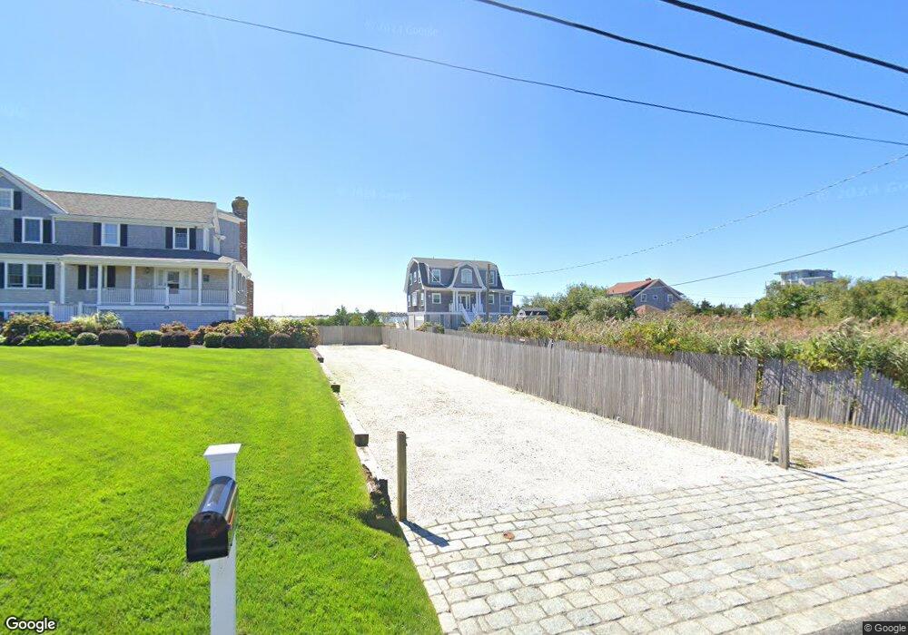
7 Stone Rd West Yarmouth, MA 02673
West Yarmouth NeighborhoodEstimated Value: $1,193,000 - $1,835,000
4
Beds
3
Baths
2,074
Sq Ft
$778/Sq Ft
Est. Value
About This Home
This home is located at 7 Stone Rd, West Yarmouth, MA 02673 and is currently estimated at $1,614,068, approximately $778 per square foot. 7 Stone Rd is a home located in Barnstable County with nearby schools including Dennis-Yarmouth Regional High School, Barnstable Community Horace Mann Charter Public School, and Sturgis Charter Public School.
Ownership History
Date
Name
Owned For
Owner Type
Purchase Details
Closed on
Feb 6, 2017
Sold by
Holyoak Michael J
Bought by
Michael J Holyoak T
Current Estimated Value
Purchase Details
Closed on
Jun 23, 2010
Sold by
Reilly Martin
Bought by
Capital One Na
Purchase Details
Closed on
Nov 30, 2006
Sold by
Reilly Martin T
Bought by
Stone Avenue Rt
Home Financials for this Owner
Home Financials are based on the most recent Mortgage that was taken out on this home.
Original Mortgage
$2,504,974
Interest Rate
6.54%
Mortgage Type
Purchase Money Mortgage
Purchase Details
Closed on
Oct 5, 2006
Sold by
Ryan James J and Lyman Richard F
Bought by
Reilly Martin T
Home Financials for this Owner
Home Financials are based on the most recent Mortgage that was taken out on this home.
Original Mortgage
$2,504,974
Interest Rate
6.54%
Mortgage Type
Purchase Money Mortgage
Create a Home Valuation Report for This Property
The Home Valuation Report is an in-depth analysis detailing your home's value as well as a comparison with similar homes in the area
Home Values in the Area
Average Home Value in this Area
Purchase History
| Date | Buyer | Sale Price | Title Company |
|---|---|---|---|
| Michael J Holyoak T | -- | -- | |
| Capital One Na | $841,500 | -- | |
| Stone Avenue Rt | -- | -- | |
| Reilly Martin T | $1,350,000 | -- |
Source: Public Records
Mortgage History
| Date | Status | Borrower | Loan Amount |
|---|---|---|---|
| Previous Owner | Reilly Martin T | $2,504,974 |
Source: Public Records
Tax History Compared to Growth
Tax History
| Year | Tax Paid | Tax Assessment Tax Assessment Total Assessment is a certain percentage of the fair market value that is determined by local assessors to be the total taxable value of land and additions on the property. | Land | Improvement |
|---|---|---|---|---|
| 2025 | $10,658 | $1,505,400 | $950,600 | $554,800 |
| 2024 | $9,772 | $1,324,100 | $827,300 | $496,800 |
| 2023 | $10,597 | $1,306,700 | $812,700 | $494,000 |
| 2022 | $10,361 | $1,128,700 | $730,100 | $398,600 |
| 2021 | $9,650 | $1,009,400 | $685,800 | $323,600 |
| 2020 | $9,569 | $956,900 | $655,500 | $301,400 |
| 2019 | $9,412 | $931,900 | $655,500 | $276,400 |
| 2018 | $9,252 | $899,100 | $622,700 | $276,400 |
| 2017 | $9,009 | $899,100 | $622,700 | $276,400 |
| 2016 | $8,973 | $899,100 | $622,700 | $276,400 |
| 2015 | $9,140 | $910,400 | $622,700 | $287,700 |
Source: Public Records
Map
Nearby Homes
- 21 & 23 Glenwood St
- 18 Rachel Rd
- 107 Channel Point Rd
- 25 Ripple Cove Rd
- 16 Iyanough Rd
- 110 School St Unit E113
- 115 School St Unit W206
- 287 Ocean St Unit C2
- 287 Ocean St Unit 2 BLDG C
- 381 Ocean St Unit 1
- 20 Stanley Place
- 13 Webster Rd
- 500 Ocean St Unit 147
- 500 Ocean St Unit 152
- 83 Main St
- 35 Pleasant St
- 23 Baxter Ave
- 49 Snow Creek Dr
- 16 Iyannough Rd
- 33 Hedge Row