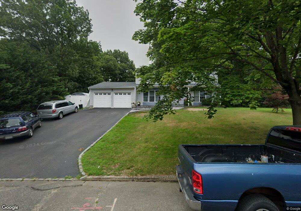
7 Stuyvesant Cir W East Setauket, NY 11733
Estimated Value: $762,327 - $875,000
4
Beds
2
Baths
2,112
Sq Ft
$378/Sq Ft
Est. Value
About This Home
This home is located at 7 Stuyvesant Cir W, East Setauket, NY 11733 and is currently estimated at $799,082, approximately $378 per square foot. 7 Stuyvesant Cir W is a home located in Suffolk County with nearby schools including Nassakeag Elementary School, Robert Cushman Murphy Junior High School, and Paul J Gelinas Junior High School.
Ownership History
Date
Name
Owned For
Owner Type
Purchase Details
Closed on
Feb 11, 2004
Sold by
Corrigan Michael and Corrigan Patricia
Bought by
Bohlen David and Bohlen Rowyna
Current Estimated Value
Home Financials for this Owner
Home Financials are based on the most recent Mortgage that was taken out on this home.
Original Mortgage
$289,000
Outstanding Balance
$134,032
Interest Rate
5.67%
Mortgage Type
Purchase Money Mortgage
Estimated Equity
$665,050
Purchase Details
Closed on
Apr 30, 2001
Sold by
Corrigan Michael and Corrigan Patricia
Bought by
Corrigan Michael and Corrigan Patricia
Create a Home Valuation Report for This Property
The Home Valuation Report is an in-depth analysis detailing your home's value as well as a comparison with similar homes in the area
Home Values in the Area
Average Home Value in this Area
Purchase History
| Date | Buyer | Sale Price | Title Company |
|---|---|---|---|
| Bohlen David | $409,990 | -- | |
| Corrigan Michael | -- | -- |
Source: Public Records
Mortgage History
| Date | Status | Borrower | Loan Amount |
|---|---|---|---|
| Open | Bohlen David | $289,000 |
Source: Public Records
Tax History Compared to Growth
Tax History
| Year | Tax Paid | Tax Assessment Tax Assessment Total Assessment is a certain percentage of the fair market value that is determined by local assessors to be the total taxable value of land and additions on the property. | Land | Improvement |
|---|---|---|---|---|
| 2024 | $14,264 | $3,640 | $300 | $3,340 |
| 2023 | $14,264 | $3,640 | $300 | $3,340 |
| 2022 | $11,965 | $3,640 | $300 | $3,340 |
| 2021 | $11,965 | $3,640 | $300 | $3,340 |
| 2020 | $13,229 | $3,640 | $300 | $3,340 |
| 2019 | $13,229 | $0 | $0 | $0 |
| 2018 | -- | $3,640 | $300 | $3,340 |
| 2017 | $12,552 | $3,640 | $300 | $3,340 |
| 2016 | $12,374 | $3,640 | $300 | $3,340 |
| 2015 | -- | $3,640 | $300 | $3,340 |
| 2014 | -- | $3,640 | $300 | $3,340 |
Source: Public Records
Map
Nearby Homes
- 19 Stuyvesant Cir E
- 152 Sycamore Cir
- 25 Shelbourne Ln
- 350 Mark Tree Rd
- 102 Sycamore Cir
- 412 No Tree Rd
- 14 Daremy Ln
- 407 Tree Rd
- 5 Bently Ln
- 16 Seabrook Ln
- 66 Barker Dr
- 33 Sunflower Ridge Rd
- 16 Sheppard Ln
- 22 Ballad Ln
- 415 Pond Path
- 74 Bellwood Ave
- 49 Bellwood Ave
- 19 Barnwell Ln
- 8 Balfour Ln
- 87 Bellwood Ave
- 11 Stuyvesant Cir W
- 3 Stuyvesant Cir W
- 10 Stuyvesant Cir E
- 2 Stuyvesant Cir W
- 2 Stuyvesant Cir E
- 8 Stuyvesant Cir W
- 12 Stuyvesant Cir E
- 15 Stuyvesant Cir W
- 6 Stuyvesant Cir W
- 3 Stuyvesant Ln
- 3 Stuyvesant Ln
- 3 Stuyvesant Ln
- 4 West Rd
- 4 West Rd
- 14 Stuyvesant Cir E
- 7 Stuyvesant Cir E
- 4 Stuyvesant Cir W
- 9 Stuyvesant Cir E
- 1 Stuyvesant Cir E
- 19 Stuyvesant Cir W