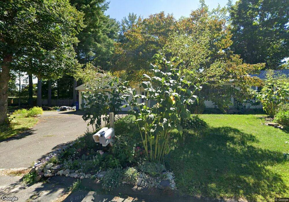
7 Summerfield Dr Florence, MA 01062
Florence NeighborhoodEstimated Value: $398,000 - $472,495
3
Beds
2
Baths
1,464
Sq Ft
$294/Sq Ft
Est. Value
About This Home
This home is located at 7 Summerfield Dr, Florence, MA 01062 and is currently estimated at $430,624, approximately $294 per square foot. 7 Summerfield Dr is a home located in Hampshire County with nearby schools including Northampton High School and Hilltown Cooperative Charter Public School.
Ownership History
Date
Name
Owned For
Owner Type
Purchase Details
Closed on
Jan 24, 2021
Sold by
Parsons C Robin Est
Bought by
Parsons Robin C and Griffin Donna A
Current Estimated Value
Home Financials for this Owner
Home Financials are based on the most recent Mortgage that was taken out on this home.
Original Mortgage
$189,000
Outstanding Balance
$169,040
Interest Rate
2.7%
Mortgage Type
Purchase Money Mortgage
Estimated Equity
$261,584
Purchase Details
Closed on
Aug 12, 1987
Bought by
Parsons Norman E and Parsons Barbara A
Purchase Details
Closed on
Apr 17, 1987
Sold by
Peltier Norma B
Bought by
Parsons Norman E
Create a Home Valuation Report for This Property
The Home Valuation Report is an in-depth analysis detailing your home's value as well as a comparison with similar homes in the area
Home Values in the Area
Average Home Value in this Area
Purchase History
We collect this data history from publicly available records. To have your information removed, we recommend requesting removal directly through your county’s website.
| Date | Buyer | Sale Price | Title Company |
|---|---|---|---|
| Parsons Robin C | $252,000 | None Available | |
| Parsons Norman E | $148,000 | -- | |
| Parsons Norman E | $114,900 | -- |
Source: Public Records
Mortgage History
We collect this data history from publicly available records. To have your information removed, we recommend requesting removal directly through your county’s website.
| Date | Status | Borrower | Loan Amount |
|---|---|---|---|
| Open | Parsons Robin C | $189,000 | |
| Previous Owner | Parsons Norman E | $33,000 | |
| Previous Owner | Parsons Norman E | $30,000 |
Source: Public Records
Tax History
| Year | Tax Paid | Tax Assessment Tax Assessment Total Assessment is a certain percentage of the fair market value that is determined by local assessors to be the total taxable value of land and additions on the property. | Land | Improvement |
|---|---|---|---|---|
| 2025 | $6,295 | $451,900 | $123,300 | $328,600 |
| 2024 | $5,898 | $388,300 | $123,300 | $265,000 |
| 2023 | $5,566 | $351,400 | $112,000 | $239,400 |
| 2022 | $5,177 | $289,400 | $112,000 | $177,400 |
| 2021 | $4,721 | $271,800 | $107,000 | $164,800 |
| 2020 | $4,566 | $271,800 | $107,000 | $164,800 |
| 2019 | $4,275 | $246,100 | $92,000 | $154,100 |
| 2018 | $4,296 | $252,100 | $92,000 | $160,100 |
| 2017 | $4,208 | $252,100 | $92,000 | $160,100 |
| 2016 | $4,074 | $252,100 | $92,000 | $160,100 |
| 2015 | $3,852 | $243,800 | $92,000 | $151,800 |
| 2014 | $3,752 | $243,800 | $92,000 | $151,800 |
Source: Public Records
Map
Nearby Homes
- 792 Ryan Rd
- 723 Lot B Ryan Rd
- 788 Burts Pit Rd
- 142 Spruce Hill Ave
- 30 Birch Hill Rd
- 0 W Farms Rd
- 42 Clark St
- 44 Westhampton Rd
- 20-11 Sylvester Rd
- 422 Park Hill Rd
- 1024 Westhampton Rd
- 296 Old Wilson Rd
- 33 Landy Ave
- 60 Norwood Ave
- 76 Maple St
- 41 N Main St
- 1260 Westhampton Rd
- 401 Fairway Village Unit 401
- 0 Westhampton Rd Unit 73526722
- 267 Locust St Unit 1A
- 52 Forest Glen Dr
- 58 Forest Glen Dr
- 46 Forest Glen Dr
- 55 Cahillane Terrace
- 64 Forest Glen Dr
- 40 Forest Glen Dr
- 61 Cahillane Terrace
- 45 Cahillane Terrace
- 69 Cahillane Terrace
- 70 Forest Glen Dr
- 34 Forest Glen Dr
- 53 Forest Glen Dr
- 47 Forest Glen Dr
- 35 Cahillane Terrace
- 41 Forest Glen Dr
- 28 Forest Glen Dr
- 76 Forest Glen Dr
- 77 Cahillane Terrace
- 35 Forest Glen Dr
- 40 Odonnell Dr
Your Personal Tour Guide
Ask me questions while you tour the home.