7 Summit Dr Unit 7 Bryn Mawr, PA 19010
Estimated Value: $523,094 - $562,000
2
Beds
3
Baths
1,590
Sq Ft
$341/Sq Ft
Est. Value
About This Home
This home is located at 7 Summit Dr Unit 7, Bryn Mawr, PA 19010 and is currently estimated at $541,774, approximately $340 per square foot. 7 Summit Dr Unit 7 is a home located in Delaware County with nearby schools including Ithan Elementary School, Radnor Middle School, and Radnor Senior High School.
Ownership History
Date
Name
Owned For
Owner Type
Purchase Details
Closed on
Nov 4, 2002
Sold by
Power Sara J and Woods Lawrence G
Bought by
Sons Judith Lynn
Current Estimated Value
Purchase Details
Closed on
Jun 25, 1996
Sold by
Wood Hortense Bader and Wood John H
Bought by
Power Richard W and Power Laura Lee
Home Financials for this Owner
Home Financials are based on the most recent Mortgage that was taken out on this home.
Original Mortgage
$100,000
Interest Rate
6.62%
Mortgage Type
Purchase Money Mortgage
Create a Home Valuation Report for This Property
The Home Valuation Report is an in-depth analysis detailing your home's value as well as a comparison with similar homes in the area
Home Values in the Area
Average Home Value in this Area
Purchase History
| Date | Buyer | Sale Price | Title Company |
|---|---|---|---|
| Sons Judith Lynn | $239,500 | -- | |
| Power Richard W | $135,000 | -- |
Source: Public Records
Mortgage History
| Date | Status | Borrower | Loan Amount |
|---|---|---|---|
| Previous Owner | Power Richard W | $100,000 |
Source: Public Records
Tax History Compared to Growth
Tax History
| Year | Tax Paid | Tax Assessment Tax Assessment Total Assessment is a certain percentage of the fair market value that is determined by local assessors to be the total taxable value of land and additions on the property. | Land | Improvement |
|---|---|---|---|---|
| 2025 | $6,173 | $305,330 | $84,100 | $221,230 |
| 2024 | $6,173 | $305,330 | $84,100 | $221,230 |
| 2023 | $5,929 | $305,330 | $84,100 | $221,230 |
| 2022 | $5,864 | $305,330 | $84,100 | $221,230 |
| 2021 | $9,419 | $305,330 | $84,100 | $221,230 |
| 2020 | $4,761 | $136,870 | $42,050 | $94,820 |
| 2019 | $4,627 | $136,870 | $42,050 | $94,820 |
| 2018 | $4,536 | $136,870 | $0 | $0 |
| 2017 | $4,441 | $136,870 | $0 | $0 |
| 2016 | $751 | $136,870 | $0 | $0 |
| 2015 | $751 | $136,870 | $0 | $0 |
| 2014 | $751 | $136,870 | $0 | $0 |
Source: Public Records
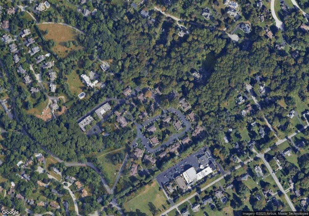
Map
Nearby Homes
- 62 Parkridge Dr Unit 62
- 67 Parkridge Dr
- 307 B B000 Summit Dr Unit B
- 202 Summit Dr Unit B
- 103 Summit Dr Unit B
- 14 Westview Rd
- 633 Foxfields Rd
- 6205 Parkview Dr
- 560 S Bryn Mawr Ave
- 215 Cornell Dr
- 390 S Bryn Mawr Ave
- 128 Clemson Rd
- 145 Landover Rd
- 200 Marple Rd
- 173 Clemson Rd
- 3920 Darby Rd
- 124 Carli Dr
- 258 Lee Cir
- 133 Quaker Ln
- 127 Deerfield Rd
- 6 Summit Dr Unit 6
- 5 Summit Dr
- 8 Summit Dr
- 4 Park Ave Unit 4
- 18 Summit Dr Unit 18
- 3 Park Ave Unit 3
- 10 Summit Dr Unit 10
- 9 Summit Dr
- 2 Park Ave Unit 2
- 1 Park Ave Unit 1
- 32 Park Ave
- 31 Park Ave Unit 31
- 30 Park Ave Unit 30
- 17 Summit Dr Unit 17
- 29 Park Ave Unit 5
- 33 Park Ave Unit 33
- 28 Park Ave
- 11 Summit Dr
- 12 Summit Dr Unit 12
- 34 Park Ave