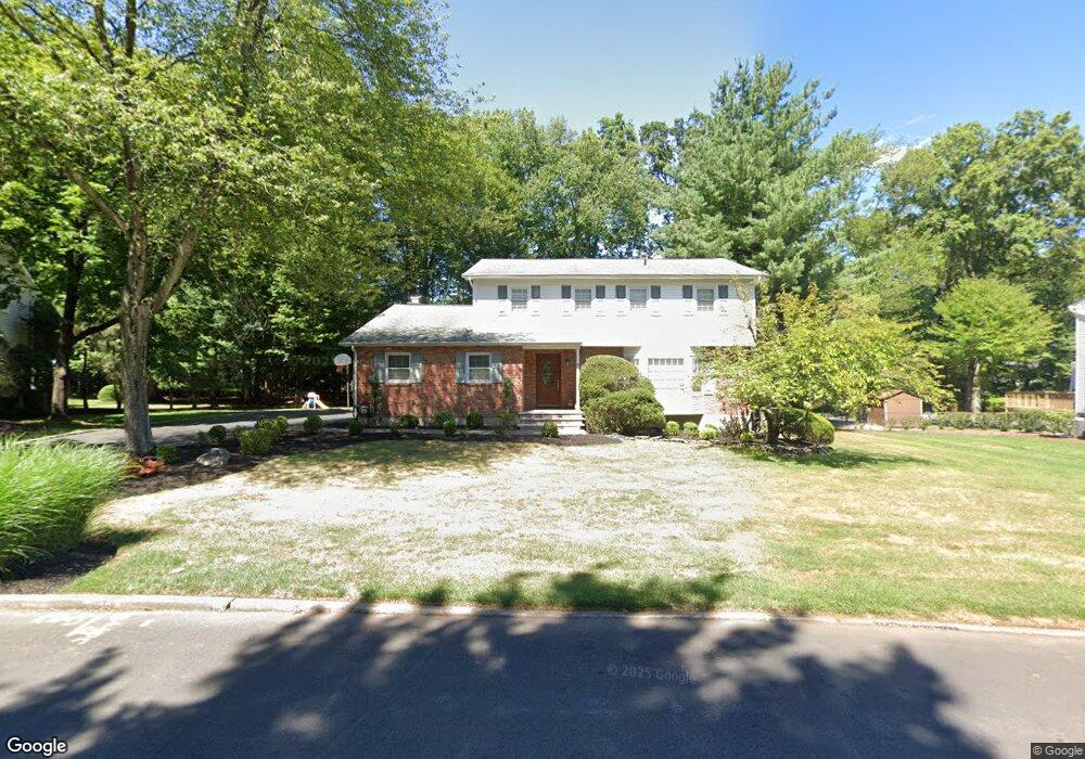
7 Sundbury Dr New City, NY 10956
Estimated Value: $826,207 - $1,002,000
--
Bed
1
Bath
2,611
Sq Ft
$352/Sq Ft
Est. Value
About This Home
This home is located at 7 Sundbury Dr, New City, NY 10956 and is currently estimated at $919,802, approximately $352 per square foot. 7 Sundbury Dr is a home located in Rockland County with nearby schools including Little Tor Elementary School, Felix Festa Middle School, and Clarkstown North Senior High School.
Create a Home Valuation Report for This Property
The Home Valuation Report is an in-depth analysis detailing your home's value as well as a comparison with similar homes in the area
Home Values in the Area
Average Home Value in this Area
Tax History Compared to Growth
Tax History
| Year | Tax Paid | Tax Assessment Tax Assessment Total Assessment is a certain percentage of the fair market value that is determined by local assessors to be the total taxable value of land and additions on the property. | Land | Improvement |
|---|---|---|---|---|
| 2024 | $21,970 | $183,800 | $41,600 | $142,200 |
| 2023 | $21,970 | $183,800 | $41,600 | $142,200 |
| 2022 | $17,200 | $183,800 | $41,600 | $142,200 |
| 2021 | $17,200 | $183,800 | $41,600 | $142,200 |
| 2020 | $18,055 | $183,800 | $41,600 | $142,200 |
| 2019 | $16,364 | $183,800 | $41,600 | $142,200 |
| 2018 | $16,364 | $183,800 | $41,600 | $142,200 |
| 2017 | $15,962 | $183,800 | $41,600 | $142,200 |
| 2016 | $15,851 | $183,800 | $41,600 | $142,200 |
| 2015 | -- | $183,800 | $41,600 | $142,200 |
| 2014 | -- | $183,800 | $41,600 | $142,200 |
Source: Public Records
Map
Nearby Homes
- 11 Ungava Dr
- 8 Ungava Dr
- 40 Ruth Dr
- 8 Liberty Cir
- 5 Rookery Cir
- 28 The Promenade
- 44 Yale Dr
- 31 Concord Dr
- 31 Brookline Way
- 4 Susan Dr
- 13 (formerly 19A) Deerfield Dr
- 12 Heritage Dr Unit C
- 10 Heritage Dr Unit B
- 31 Lowell Dr
- 68 Eberling Dr
- 31 Verdin Dr
- 37 Heritage Dr Unit B
- 30 James St
- 11 Old Phillips Hill Rd
- 40 Heritage Dr