7 Sunrise Dr Doylestown, PA 18901
Estimated Value: $1,094,018 - $1,180,000
4
Beds
4
Baths
3,672
Sq Ft
$309/Sq Ft
Est. Value
About This Home
This home is located at 7 Sunrise Dr, Doylestown, PA 18901 and is currently estimated at $1,134,505, approximately $308 per square foot. 7 Sunrise Dr is a home located in Bucks County with nearby schools including Kutz Elementary School, Lenape Middle School, and Central Bucks High School-West.
Create a Home Valuation Report for This Property
The Home Valuation Report is an in-depth analysis detailing your home's value as well as a comparison with similar homes in the area
Home Values in the Area
Average Home Value in this Area
Tax History Compared to Growth
Tax History
| Year | Tax Paid | Tax Assessment Tax Assessment Total Assessment is a certain percentage of the fair market value that is determined by local assessors to be the total taxable value of land and additions on the property. | Land | Improvement |
|---|---|---|---|---|
| 2025 | $11,368 | $64,240 | $7,840 | $56,400 |
| 2024 | $11,368 | $64,240 | $7,840 | $56,400 |
| 2023 | $10,840 | $64,240 | $7,840 | $56,400 |
| 2022 | $10,719 | $64,240 | $7,840 | $56,400 |
| 2021 | $10,498 | $64,240 | $7,840 | $56,400 |
| 2020 | $10,450 | $64,240 | $7,840 | $56,400 |
| 2019 | $10,338 | $64,240 | $7,840 | $56,400 |
| 2018 | $10,306 | $64,240 | $7,840 | $56,400 |
| 2017 | $10,225 | $64,240 | $7,840 | $56,400 |
| 2016 | $10,161 | $64,240 | $7,840 | $56,400 |
| 2015 | -- | $64,240 | $7,840 | $56,400 |
| 2014 | -- | $64,240 | $7,840 | $56,400 |
Source: Public Records
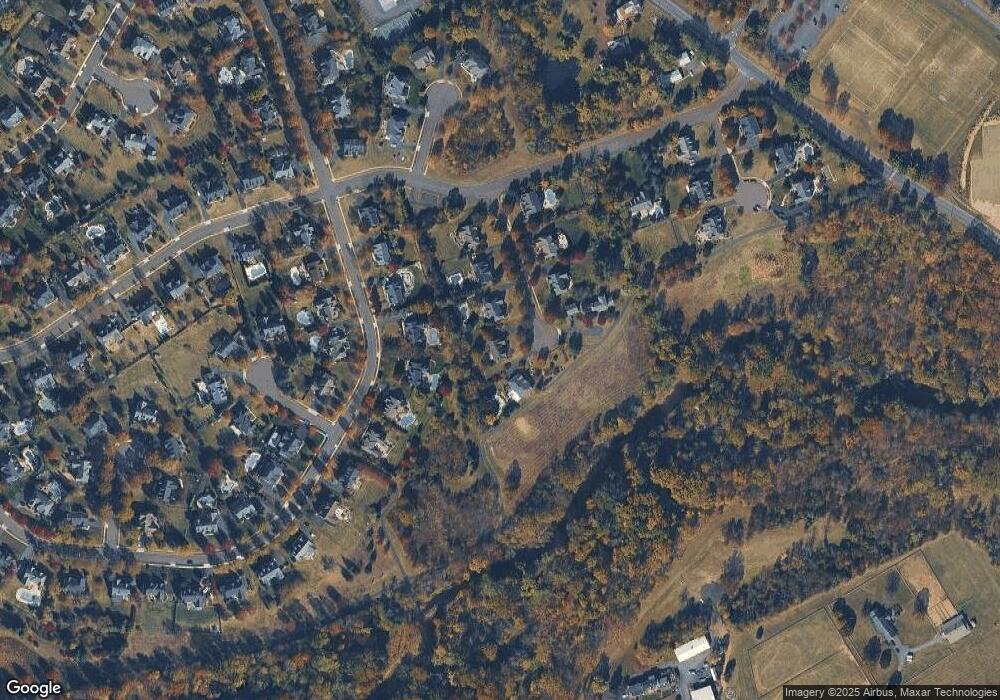
Map
Nearby Homes
- 222 Windsor Way
- 137 Wells Rd
- 82 Avalon Ct Unit 2005
- 1101 Deerfield Ln
- 60 Quarry Rd
- 20 Woodstone Dr
- 125 Edison Furlong Rd
- 612 Bethel Ln Unit THE ROOSEVELT PLAN
- 9 Mill Creek Dr
- 47 Mill Creek Dr Unit 32
- 47 Mill Creek Dr
- 114 Progress Dr
- 52 Tradesville Dr Unit 83
- Vetri Plan at Doylestown Walk
- 52 Tradesville Dr
- 78 Tower Hill Rd
- 2 Mill Creek Dr
- 2 Mill Creek Dr Unit 137
- 6 Mill Creek Dr
- 137 Pebble Woods Dri Pebble Woods Dr
- 5 Sunrise Dr
- 9 Sunrise Dr
- 66 Bittersweet Dr
- 3 Sunrise Dr
- 64 Bittersweet Dr
- 68 Bittersweet Dr
- 1 Sunrise Dr
- 6 Sunrise Dr
- 62 Bittersweet Dr
- 70 Bittersweet Dr
- 8 Sunrise Dr
- 4 Sunrise Dr
- 60 Bittersweet Dr
- 72 Bittersweet Dr
- 2 Sunrise Dr
- 67 Bittersweet Dr
- 69 Bittersweet Dr
- 61 Bittersweet Dr
- 71 Bittersweet Dr
- 58 Bittersweet Dr