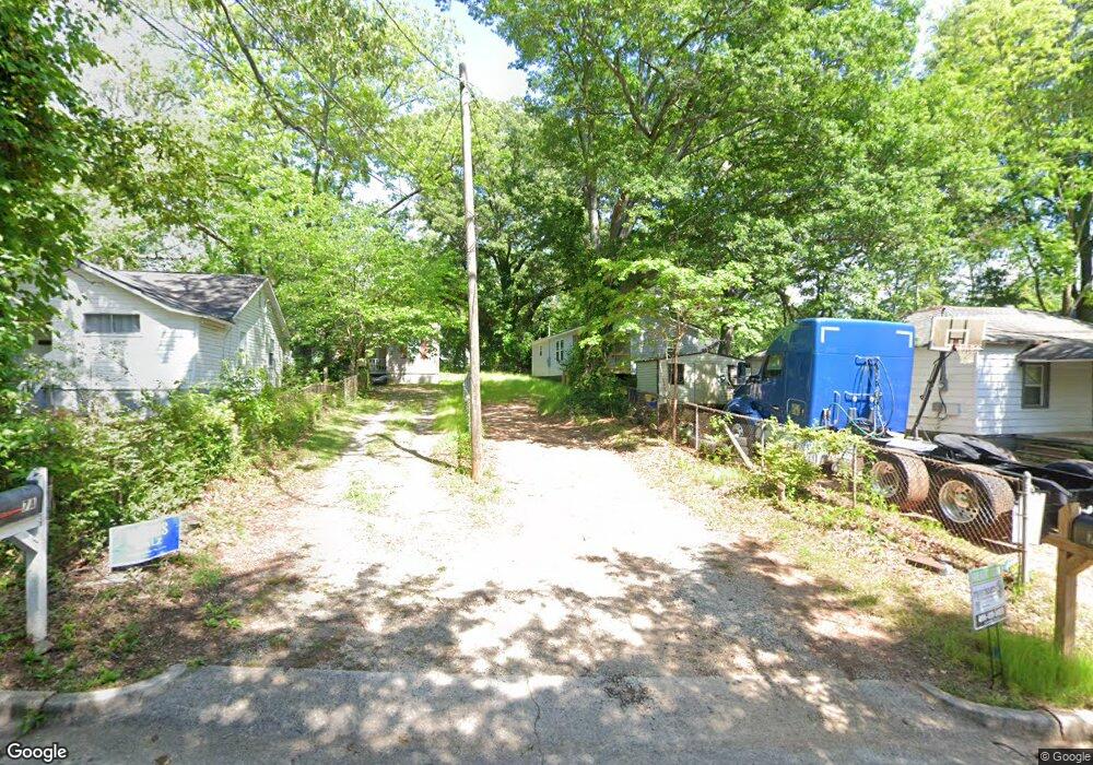
7 Swint St Newnan, GA 30263
Estimated Value: $110,000 - $161,000
2
Beds
2
Baths
1,072
Sq Ft
$124/Sq Ft
Est. Value
About This Home
This home is located at 7 Swint St, Newnan, GA 30263 and is currently estimated at $132,603, approximately $123 per square foot. 7 Swint St is a home located in Coweta County with nearby schools including Jefferson Parkway Elementary School, Arnall Middle School, and East Coweta High School.
Ownership History
Date
Name
Owned For
Owner Type
Purchase Details
Closed on
Feb 15, 2012
Sold by
7 Swint Street Llc
Bought by
31 Helms Street Llc
Current Estimated Value
Purchase Details
Closed on
Oct 19, 2006
Sold by
Carson Thomas H and Carson Nancy M
Bought by
Swint Street
Home Financials for this Owner
Home Financials are based on the most recent Mortgage that was taken out on this home.
Original Mortgage
$43,000
Interest Rate
6.31%
Mortgage Type
Stand Alone Second
Purchase Details
Closed on
Jun 16, 2006
Sold by
7 Spring Street Llc
Bought by
Carson Thomas H and Carson Nancy M
Purchase Details
Closed on
Oct 27, 2005
Sold by
West William C
Bought by
Gentry Martin A
Purchase Details
Closed on
Oct 22, 2004
Sold by
Oakmont Properties Llc
Bought by
7 Swint Street Llc
Purchase Details
Closed on
Jun 4, 2002
Sold by
Neal Bennie
Bought by
Oakmont Properties Llc
Purchase Details
Closed on
Apr 30, 1986
Bought by
Neal Bennie
Create a Home Valuation Report for This Property
The Home Valuation Report is an in-depth analysis detailing your home's value as well as a comparison with similar homes in the area
Home Values in the Area
Average Home Value in this Area
Purchase History
| Date | Buyer | Sale Price | Title Company |
|---|---|---|---|
| 31 Helms Street Llc | -- | -- | |
| Swint Street | -- | -- | |
| Carson Thomas H | -- | -- | |
| Gentry Martin A | $193,500 | -- | |
| 7 Swint Street Llc | -- | -- | |
| Oakmont Properties Llc | -- | -- | |
| Neal Bennie | -- | -- |
Source: Public Records
Mortgage History
| Date | Status | Borrower | Loan Amount |
|---|---|---|---|
| Previous Owner | Swint Street | $43,000 |
Source: Public Records
Tax History Compared to Growth
Tax History
| Year | Tax Paid | Tax Assessment Tax Assessment Total Assessment is a certain percentage of the fair market value that is determined by local assessors to be the total taxable value of land and additions on the property. | Land | Improvement |
|---|---|---|---|---|
| 2025 | $1,694 | $70,524 | $12,000 | $58,524 |
| 2024 | $871 | $38,114 | $12,000 | $26,114 |
| 2023 | $871 | $29,333 | $240 | $29,093 |
| 2022 | $502 | $20,640 | $240 | $20,400 |
| 2021 | $476 | $17,710 | $240 | $17,470 |
| 2020 | $487 | $17,710 | $240 | $17,470 |
| 2019 | $437 | $14,540 | $3,200 | $11,340 |
| 2018 | $439 | $14,540 | $3,200 | $11,340 |
| 2017 | $291 | $9,658 | $2,400 | $7,258 |
| 2016 | $291 | $9,658 | $2,400 | $7,258 |
| 2015 | $291 | $9,658 | $2,400 | $7,258 |
| 2014 | $270 | $8,750 | $2,400 | $6,350 |
Source: Public Records
Map
Nearby Homes
- 0 Highway 34 Unit 20149159
- 89 Farmer St
- 5 Casey Rd
- 59 Berry Ave
- 0 Georgia 34 Unit 7614778
- 0 N Highway 29 Unit 20115352
- 140 Catalina Ct
- 144 Jackson St
- 3 Northside Dr
- 20 Salbide Ave
- 10 Burch Ave
- 61 Clark St
- 108 Savannah St
- 294 Tuscany Trace
- 51 Robinson St
- 77 West St Unit 34
- 71 Spring St
- 68 Spring St
- 13 Johnson Ave
- 13 Standish Ct
- 7 Swint St Unit 7B
- 7 Swint St Unit A
- 7 Swint Place
- 5 Swint St
- 34 Wilcoxon St
- 36 Wilcoxon St
- 7 Burdette Place Unit B
- 7 Burdette Place Unit A
- 7 Burdette Place
- 32 Wilcoxon St
- 9 Burdette Place
- 38 Wilcoxon St
- 6 Swint St
- 17 Sutherland Dr
- 0 Swint Place Unit 7B 8349500
- 6 Swint St
- 15 Sutherland Dr
- 4 Swint St
- 19 Sutherland Dr
- 30 Wilcoxon St