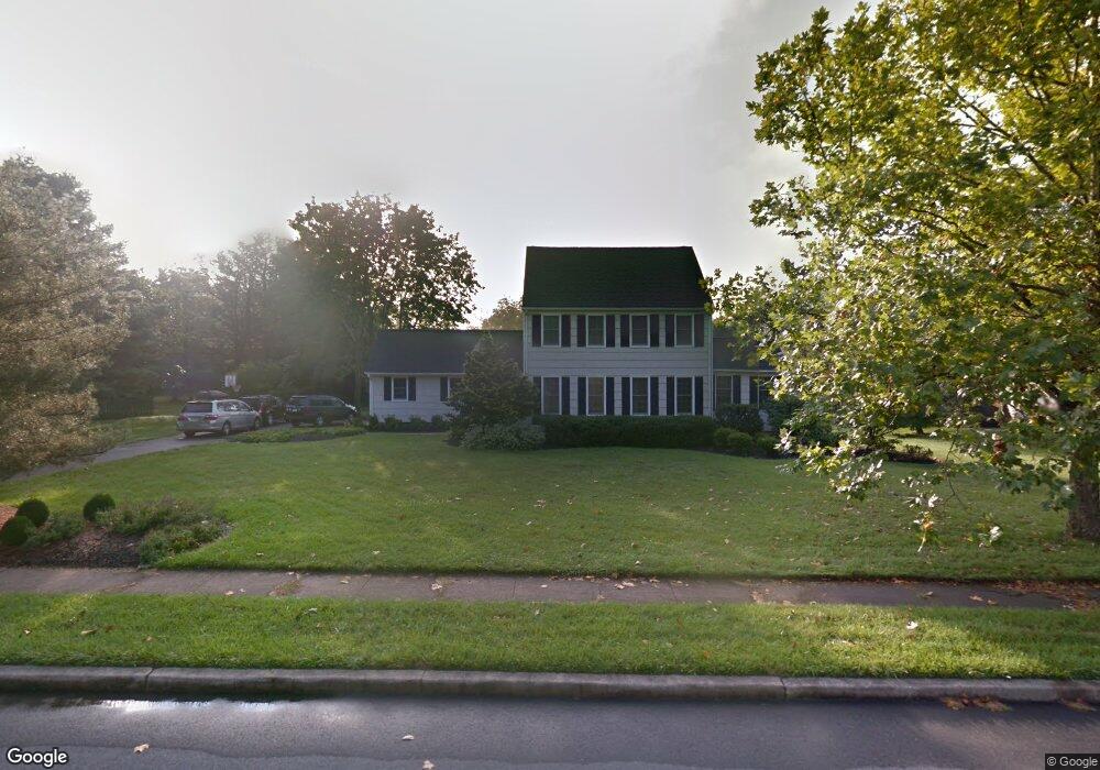
7 Tall Cedar Ct Belle Mead, NJ 08502
Estimated Value: $973,671 - $1,034,000
--
Bed
--
Bath
2,600
Sq Ft
$384/Sq Ft
Est. Value
About This Home
This home is located at 7 Tall Cedar Ct, Belle Mead, NJ 08502 and is currently estimated at $998,168, approximately $383 per square foot. 7 Tall Cedar Ct is a home located in Somerset County with nearby schools including Orchard Hill Elementary School, Montgomery Lower Mid School, and Village Elementary School.
Ownership History
Date
Name
Owned For
Owner Type
Purchase Details
Closed on
Dec 28, 2004
Sold by
Censits Mark
Bought by
Smith Brian P and Smith Allison D
Current Estimated Value
Home Financials for this Owner
Home Financials are based on the most recent Mortgage that was taken out on this home.
Original Mortgage
$500,000
Outstanding Balance
$252,442
Interest Rate
5.75%
Mortgage Type
New Conventional
Estimated Equity
$745,726
Purchase Details
Closed on
Aug 31, 1994
Sold by
Morrissey James
Bought by
Censitz Mark and Censitz Beth
Home Financials for this Owner
Home Financials are based on the most recent Mortgage that was taken out on this home.
Original Mortgage
$228,000
Interest Rate
8.38%
Purchase Details
Closed on
Sep 29, 1992
Sold by
Hordyke David E and Hordyke Carolyn
Bought by
Moarrissey James J and Moarrissey Jeanne M
Create a Home Valuation Report for This Property
The Home Valuation Report is an in-depth analysis detailing your home's value as well as a comparison with similar homes in the area
Home Values in the Area
Average Home Value in this Area
Purchase History
| Date | Buyer | Sale Price | Title Company |
|---|---|---|---|
| Smith Brian P | $650,000 | -- | |
| Censitz Mark | $284,500 | -- | |
| Moarrissey James J | $241,500 | -- |
Source: Public Records
Mortgage History
| Date | Status | Borrower | Loan Amount |
|---|---|---|---|
| Open | Smith Brian P | $500,000 | |
| Previous Owner | Censitz Mark | $228,000 |
Source: Public Records
Tax History Compared to Growth
Tax History
| Year | Tax Paid | Tax Assessment Tax Assessment Total Assessment is a certain percentage of the fair market value that is determined by local assessors to be the total taxable value of land and additions on the property. | Land | Improvement |
|---|---|---|---|---|
| 2025 | $17,414 | $508,300 | $238,000 | $270,300 |
| 2024 | $17,414 | $508,300 | $238,000 | $270,300 |
| 2023 | $17,399 | $508,300 | $238,000 | $270,300 |
| 2022 | $16,377 | $508,300 | $238,000 | $270,300 |
| 2021 | $16,240 | $508,300 | $238,000 | $270,300 |
| 2020 | $16,108 | $508,300 | $238,000 | $270,300 |
| 2019 | $16,001 | $508,300 | $238,000 | $270,300 |
| 2018 | $15,630 | $508,300 | $238,000 | $270,300 |
| 2017 | $15,361 | $508,300 | $238,000 | $270,300 |
| 2016 | $15,091 | $508,300 | $238,000 | $270,300 |
| 2015 | $14,746 | $508,300 | $238,000 | $270,300 |
| 2014 | $14,568 | $508,300 | $238,000 | $270,300 |
Source: Public Records
Map
Nearby Homes
- 44 Bridle Path
- 74 Dublin Rd
- 16 Dorland Farm Ct
- 00 W Dutchtown Harlingen Rd
- 21 Harlingen Rd
- 74 Harlingen Rd
- 68 Johnson Dr
- 40 Johnson Dr
- 1723 Us Highway 206
- 43 Dead Tree Run Rd
- 11 Cortland Place
- 28 Bedford Dr
- 167 Dead Tree Run Rd
- 00 Route 518
- 263 Dutchtown Zion Rd
- 59 Montgomery Rd
- 2 E Hartwick Dr
- 52 Ketcham Rd
- 17 E Hartwick Dr
- 106 Village Dr
- 15 Tall Cedar Ct
- 43 Fox Chase Ln
- 14 Deer Run Dr
- 24 Deer Run Dr
- 4 Tall Cedar Ct
- 14 Tall Cedar Ct
- 4 Deer Run Dr
- 23 Tall Cedar Ct
- 50 Fox Chase Ln
- 28 Deer Run Dr
- 20 Tall Cedar Ct
- 36 Fox Chase Ln
- 19 Deer Run Dr
- 11 Deer Run Dr
- 25 Deer Run Dr
- 28 Fox Chase Ln
- 27 Tall Cedar Ct
- 65 Fox Chase Ln
- 26 Tall Cedar Ct
- 19 Fox Chase Ln