7 Tamarack Dr Branchburg, NJ 08853
Branchburg Township NeighborhoodEstimated Value: $990,657 - $1,084,000
--
Bed
--
Bath
3,481
Sq Ft
$297/Sq Ft
Est. Value
About This Home
This home is located at 7 Tamarack Dr, Branchburg, NJ 08853 and is currently estimated at $1,035,414, approximately $297 per square foot. 7 Tamarack Dr is a home located in Somerset County with nearby schools including Whiton Elementary School, Stony Brook School, and Branchburg Central Middle School.
Ownership History
Date
Name
Owned For
Owner Type
Purchase Details
Closed on
Sep 28, 2004
Sold by
Rispo Joseph A
Bought by
Weinblatt Brett and Weinblatt Dawn
Current Estimated Value
Home Financials for this Owner
Home Financials are based on the most recent Mortgage that was taken out on this home.
Original Mortgage
$572,000
Outstanding Balance
$284,042
Interest Rate
5.81%
Estimated Equity
$751,372
Purchase Details
Closed on
Apr 16, 1997
Sold by
Ages Barry
Bought by
Rispo Joseph and Rispo Evelyn
Home Financials for this Owner
Home Financials are based on the most recent Mortgage that was taken out on this home.
Original Mortgage
$100,000
Interest Rate
7.76%
Create a Home Valuation Report for This Property
The Home Valuation Report is an in-depth analysis detailing your home's value as well as a comparison with similar homes in the area
Home Values in the Area
Average Home Value in this Area
Purchase History
| Date | Buyer | Sale Price | Title Company |
|---|---|---|---|
| Weinblatt Brett | $715,000 | -- | |
| Rispo Joseph | $340,000 | -- |
Source: Public Records
Mortgage History
| Date | Status | Borrower | Loan Amount |
|---|---|---|---|
| Open | Weinblatt Brett | $572,000 | |
| Previous Owner | Rispo Joseph | $100,000 |
Source: Public Records
Tax History Compared to Growth
Tax History
| Year | Tax Paid | Tax Assessment Tax Assessment Total Assessment is a certain percentage of the fair market value that is determined by local assessors to be the total taxable value of land and additions on the property. | Land | Improvement |
|---|---|---|---|---|
| 2025 | $14,293 | $884,500 | $205,200 | $679,300 |
| 2024 | $14,293 | $792,300 | $205,200 | $587,100 |
| 2023 | $13,692 | $731,800 | $205,200 | $526,600 |
| 2022 | $13,513 | $686,300 | $205,200 | $481,100 |
| 2021 | $13,828 | $654,100 | $205,200 | $448,900 |
| 2020 | $13,649 | $636,900 | $205,200 | $431,700 |
| 2019 | $13,596 | $630,900 | $205,200 | $425,700 |
| 2018 | $13,396 | $619,900 | $198,200 | $421,700 |
| 2017 | $13,432 | $617,300 | $198,200 | $419,100 |
| 2016 | $13,366 | $610,300 | $191,200 | $419,100 |
| 2015 | $13,199 | $603,800 | $179,200 | $424,600 |
| 2014 | $12,703 | $588,100 | $169,200 | $418,900 |
Source: Public Records
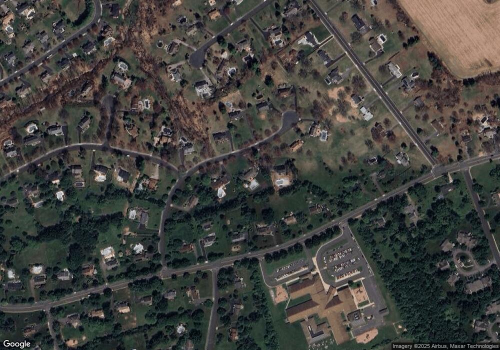
Map
Nearby Homes
- 1053 Hillcrest Dr
- 126 Carriage Hill Way
- 31 S Davenport St
- 93 Windy Willow Way
- 713 Colonial Ct
- 499 Barton Ln
- 6 Van Fleet Rd
- 27 Fremont St
- 107 Readington Rd
- 9 Weavers Ln
- 46 Strawberry Hill Rd
- 1601 Breckenridge Dr
- 203 Red Crest Ln
- 511 Red Crest Ln
- 2 Carlisle Rd
- 838 Riverside Dr
- 15 Campbell Ct
- 317 Old York Rd
- 10 Red Oak Way
- 20 Casper Berger Rd