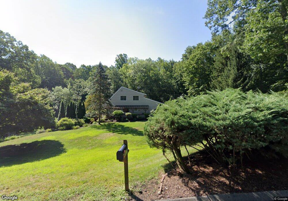
7 Tead Rd Brookfield, CT 06804
Estimated Value: $584,000 - $701,000
3
Beds
3
Baths
1,944
Sq Ft
$328/Sq Ft
Est. Value
About This Home
This home is located at 7 Tead Rd, Brookfield, CT 06804 and is currently estimated at $638,376, approximately $328 per square foot. 7 Tead Rd is a home located in Fairfield County with nearby schools including Whisconier Middle School, Brookfield High School, and Montessori Community School at Brookfield.
Ownership History
Date
Name
Owned For
Owner Type
Purchase Details
Closed on
Aug 5, 2024
Sold by
Perry Douglas and Perry Susan
Bought by
Perry Douglas E
Current Estimated Value
Home Financials for this Owner
Home Financials are based on the most recent Mortgage that was taken out on this home.
Original Mortgage
$385,000
Outstanding Balance
$379,581
Interest Rate
6.86%
Mortgage Type
Purchase Money Mortgage
Estimated Equity
$258,795
Purchase Details
Closed on
Jun 6, 1989
Sold by
Rice Robert
Bought by
Travis Devel Corp
Create a Home Valuation Report for This Property
The Home Valuation Report is an in-depth analysis detailing your home's value as well as a comparison with similar homes in the area
Home Values in the Area
Average Home Value in this Area
Purchase History
| Date | Buyer | Sale Price | Title Company |
|---|---|---|---|
| Perry Douglas E | $600,000 | None Available | |
| Perry Douglas E | $600,000 | None Available | |
| Travis Devel Corp | $245,000 | -- |
Source: Public Records
Mortgage History
| Date | Status | Borrower | Loan Amount |
|---|---|---|---|
| Open | Perry Douglas E | $385,000 | |
| Closed | Perry Douglas E | $385,000 | |
| Previous Owner | Travis Devel Corp | $200,000 | |
| Previous Owner | Travis Devel Corp | $50,000 | |
| Previous Owner | Travis Devel Corp | $80,300 |
Source: Public Records
Tax History
| Year | Tax Paid | Tax Assessment Tax Assessment Total Assessment is a certain percentage of the fair market value that is determined by local assessors to be the total taxable value of land and additions on the property. | Land | Improvement |
|---|---|---|---|---|
| 2025 | $8,640 | $298,660 | $100,880 | $197,780 |
| 2024 | $8,320 | $298,200 | $100,420 | $197,780 |
| 2023 | $8,010 | $298,200 | $100,420 | $197,780 |
| 2022 | $7,717 | $298,200 | $100,420 | $197,780 |
| 2021 | $6,814 | $226,380 | $111,570 | $114,810 |
| 2020 | $6,712 | $226,380 | $111,570 | $114,810 |
| 2019 | $17,634 | $226,380 | $111,570 | $114,810 |
| 2018 | $17,634 | $226,380 | $111,570 | $114,810 |
| 2017 | $17,634 | $226,380 | $111,570 | $114,810 |
| 2016 | $6,162 | $233,420 | $127,200 | $106,220 |
| 2015 | $5,999 | $233,420 | $127,200 | $106,220 |
| 2014 | $5,999 | $233,420 | $127,200 | $106,220 |
Source: Public Records
Map
Nearby Homes
- 2 Autumn's Way
- 8 Hawleyville Rd
- 7 Homestead Ln
- 16 Homestead Ln
- 47 Copper Square Dr
- 75 Copper Square Dr
- 32 Redwood Dr
- 12 Fieldstone Ct Unit 12
- 8 Fieldstone Ct Unit 8
- 10 Fieldstone Ct Unit 10
- 54 Redwood Dr
- 11 Eden Ct Unit 11
- 28 Rollingwood Dr
- 4 Arlington Ct
- 1902 Cypress Dr Unit 1902
- 1805 Cypress Dr
- 79 Suzie Dr
- 1 Adams Dr
- 8 Marilyn Rd
- 8 Woodlawn Dr
Your Personal Tour Guide
Ask me questions while you tour the home.