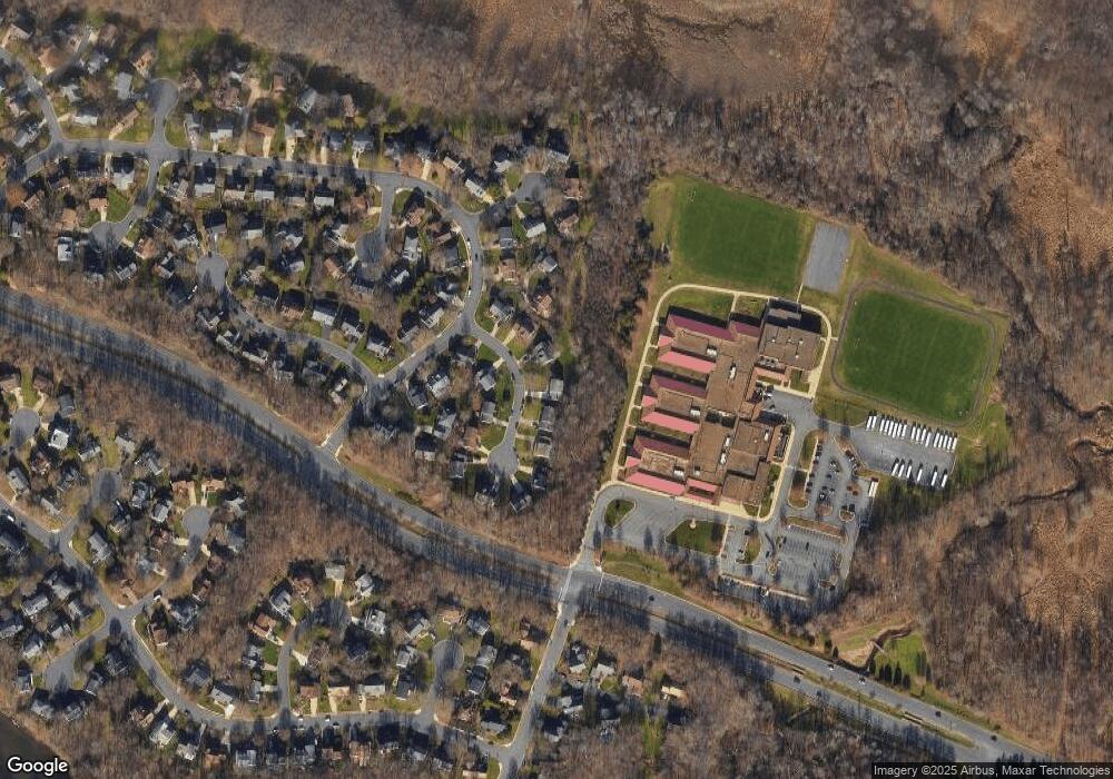
7 Teasdale Ct Sterling, VA 20165
Estimated Value: $893,908 - $970,000
4
Beds
4
Baths
2,988
Sq Ft
$317/Sq Ft
Est. Value
About This Home
This home is located at 7 Teasdale Ct, Sterling, VA 20165 and is currently estimated at $947,477, approximately $317 per square foot. 7 Teasdale Ct is a home located in Loudoun County with nearby schools including Algonkian Elementary School, River Bend Middle School, and Potomac Falls High School.
Ownership History
Date
Name
Owned For
Owner Type
Purchase Details
Closed on
Mar 19, 2024
Sold by
Shumaker Thomas A and Shumaker Debra K
Bought by
Thomas A Shumaker And Debra K Shumaker Revoca and Shumaker
Current Estimated Value
Purchase Details
Closed on
May 25, 2005
Sold by
Lynch Walter H
Bought by
Shumaker Thomas A
Home Financials for this Owner
Home Financials are based on the most recent Mortgage that was taken out on this home.
Original Mortgage
$540,000
Interest Rate
5.94%
Mortgage Type
New Conventional
Purchase Details
Closed on
Jun 10, 1997
Sold by
Bell Michael F and Bell Patricia A
Bought by
Brush Perry J and Brush Kimberley A
Home Financials for this Owner
Home Financials are based on the most recent Mortgage that was taken out on this home.
Original Mortgage
$206,400
Interest Rate
7.98%
Mortgage Type
New Conventional
Create a Home Valuation Report for This Property
The Home Valuation Report is an in-depth analysis detailing your home's value as well as a comparison with similar homes in the area
Home Values in the Area
Average Home Value in this Area
Purchase History
| Date | Buyer | Sale Price | Title Company |
|---|---|---|---|
| Thomas A Shumaker And Debra K Shumaker Revoca | -- | None Listed On Document | |
| Shumaker Thomas A | $689,500 | -- | |
| Brush Perry J | $258,000 | -- |
Source: Public Records
Mortgage History
| Date | Status | Borrower | Loan Amount |
|---|---|---|---|
| Previous Owner | Shumaker Thomas A | $540,000 | |
| Previous Owner | Brush Perry J | $206,400 |
Source: Public Records
Tax History Compared to Growth
Tax History
| Year | Tax Paid | Tax Assessment Tax Assessment Total Assessment is a certain percentage of the fair market value that is determined by local assessors to be the total taxable value of land and additions on the property. | Land | Improvement |
|---|---|---|---|---|
| 2025 | $6,796 | $844,270 | $259,700 | $584,570 |
| 2024 | $6,821 | $788,520 | $259,700 | $528,820 |
| 2023 | $6,481 | $740,720 | $259,700 | $481,020 |
| 2022 | $6,511 | $731,560 | $234,700 | $496,860 |
| 2021 | $6,114 | $623,890 | $189,700 | $434,190 |
| 2020 | $6,124 | $591,670 | $179,700 | $411,970 |
| 2019 | $6,026 | $576,670 | $179,700 | $396,970 |
| 2018 | $5,995 | $552,510 | $179,700 | $372,810 |
| 2017 | $6,032 | $536,170 | $179,700 | $356,470 |
| 2016 | $6,108 | $533,460 | $0 | $0 |
| 2015 | $5,849 | $335,620 | $0 | $335,620 |
| 2014 | $6,258 | $362,120 | $0 | $362,120 |
Source: Public Records
Map
Nearby Homes
- 3 Forester Ct
- 1 Foxmore Ct
- 20627 Cutwater Place
- 20594 Shadow Woods Ct
- 46395 Hampshire Station Dr
- 16 Newland Ct
- 14 Webley Ct
- 46606 Drysdale Terrace Unit 101
- 46574 Broadspear Terrace
- 46608 Drysdale Terrace Unit 101
- 13 Braxton Dr
- 20419 Riverbend Square Unit 202
- 4 Bentley Dr
- 16 Worthington Ct
- 46675 Cavendish Square
- 43 Bentley Dr
- 30 Bentley Dr
- 23 Jermyn Ct
- 6 Oakdale Ct
- 130 Minor Rd
- 9 Teasdale Ct
- 5 Teasdale Ct
- 3 Teasdale Ct
- 11 Teasdale Ct
- 4 Teasdale Ct
- 10 Teasdale Ct
- 49 Whittingham Cir
- 2 Teasdale Ct
- 12 Teasdale Ct
- 1 Teasdale Ct
- 13 Teasdale Ct
- 55 Whittingham Cir
- 59 Whittingham Cir
- 15 Teasdale Ct
- 47 Whittingham Cir
- 14 Teasdale Ct
- 45 Whittingham Cir
- 16 Teasdale Ct
- 57 Whittingham Cir
- 52 Whittingham Cir
