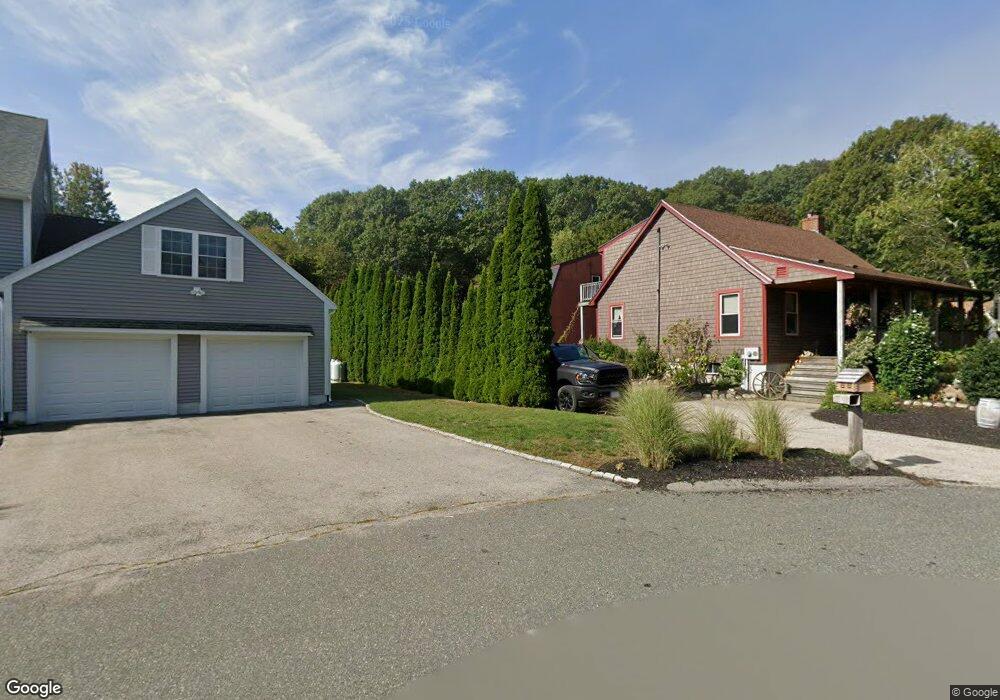
7 Thornhill Way Gloucester, MA 01930
Estimated Value: $556,000 - $715,000
3
Beds
2
Baths
1,248
Sq Ft
$538/Sq Ft
Est. Value
About This Home
This home is located at 7 Thornhill Way, Gloucester, MA 01930 and is currently estimated at $672,026, approximately $538 per square foot. 7 Thornhill Way is a home located in Essex County with nearby schools including Beeman Memorial, Ralph B O'maley Middle School, and Faith Christian School.
Ownership History
Date
Name
Owned For
Owner Type
Purchase Details
Closed on
Oct 26, 2011
Sold by
Piraino James
Bought by
Piraino James R and Piraino Donna C
Current Estimated Value
Home Financials for this Owner
Home Financials are based on the most recent Mortgage that was taken out on this home.
Original Mortgage
$95,000
Interest Rate
4.11%
Purchase Details
Closed on
Dec 6, 1996
Sold by
Porper Michael J and Porper Robert B
Bought by
Piraino James
Create a Home Valuation Report for This Property
The Home Valuation Report is an in-depth analysis detailing your home's value as well as a comparison with similar homes in the area
Home Values in the Area
Average Home Value in this Area
Purchase History
| Date | Buyer | Sale Price | Title Company |
|---|---|---|---|
| Piraino James R | -- | -- | |
| Piraino James | $73,500 | -- |
Source: Public Records
Mortgage History
| Date | Status | Borrower | Loan Amount |
|---|---|---|---|
| Closed | Piraino James | $95,000 | |
| Previous Owner | Piraino James | $75,000 | |
| Previous Owner | Piraino James | $25,000 | |
| Previous Owner | Piraino James | $25,000 |
Source: Public Records
Tax History Compared to Growth
Tax History
| Year | Tax Paid | Tax Assessment Tax Assessment Total Assessment is a certain percentage of the fair market value that is determined by local assessors to be the total taxable value of land and additions on the property. | Land | Improvement |
|---|---|---|---|---|
| 2025 | $6,179 | $635,700 | $203,600 | $432,100 |
| 2024 | $6,192 | $636,400 | $193,800 | $442,600 |
| 2023 | $6,103 | $576,300 | $173,100 | $403,200 |
| 2022 | $5,727 | $488,200 | $150,600 | $337,600 |
| 2021 | $5,890 | $473,500 | $136,900 | $336,600 |
| 2020 | $5,655 | $458,600 | $136,900 | $321,700 |
| 2019 | $5,618 | $442,700 | $136,900 | $305,800 |
| 2018 | $5,526 | $427,400 | $136,900 | $290,500 |
| 2017 | $5,375 | $407,500 | $130,300 | $277,200 |
| 2016 | $5,434 | $399,300 | $135,900 | $263,400 |
| 2015 | $5,266 | $385,800 | $135,900 | $249,900 |
Source: Public Records
Map
Nearby Homes
- 18 Cherry St
- 49 Thurston Point Rd
- 65 Poplar St
- 19 Mystic Ave
- 109 Riverview Rd
- 78 Grove St
- 6 Beauport Ave
- 196 Washington St
- 40 Sargent St
- 3 Stone Ct
- 672 Washington St
- 119 Pleasant St
- 33 Maplewood Ave Unit 21
- 15 Harvard St
- 4 Mount Vernon St
- 8 Summer St Unit 103
- 22 Taylor St Unit 1
- 6 River Rd
- 29 Harrison Ave
- 5 Washington Square
- 5 Thornhill Way
- 9 Thornhill Way
- 3 Thornhill Way
- 1 Thornhill Way
- 11 Thornhill Way
- 13 Thornhill Way Unit B
- 13 Thornhill Way Unit A
- 13 Thornhill Way Unit B
- 13 Thornhill Way Unit A
- 15 Thornhill Way Unit 2
- 15 Thornhill Way Unit 1
- 15 Thornhill Way Unit 15B
- 15A Thornhill Way Unit 1
- 15 Thornhill Way Unit 1
- 8 Montvale Ave
- 2 Montvale Ave Unit A
- 2 Montvale Ave Unit B
- 2 Montvale Ave
- 4 Montvale Ave
- 10 Montvale Ave