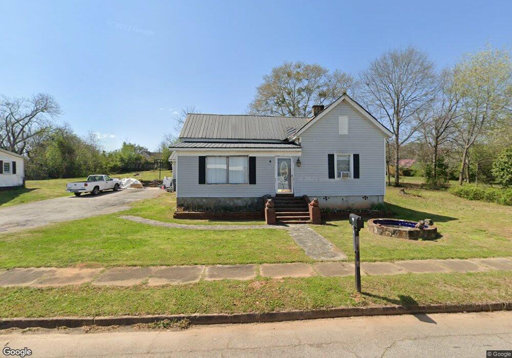
7 Thornton St Lagrange, GA 30241
Estimated Value: $86,000 - $118,000
2
Beds
1
Bath
1,022
Sq Ft
$101/Sq Ft
Est. Value
About This Home
This home is located at 7 Thornton St, Lagrange, GA 30241 and is currently estimated at $103,497, approximately $101 per square foot. 7 Thornton St is a home located in Troup County with nearby schools including Franklin Forest Elementary School, Hollis Hand Elementary School, and Ethel W. Kight Elementary School.
Ownership History
Date
Name
Owned For
Owner Type
Purchase Details
Closed on
Sep 20, 1991
Sold by
Dan-Ric Inc
Bought by
Leonard Beulah K
Current Estimated Value
Purchase Details
Closed on
Mar 7, 1991
Sold by
Brenda G Smith
Bought by
Dan-Ric Inc
Purchase Details
Closed on
Jan 1, 1981
Sold by
Charles E Smith
Bought by
Brenda G Smith
Purchase Details
Closed on
Mar 4, 1978
Sold by
Mrs Letha Lee Allison
Bought by
Charles E Smith
Purchase Details
Closed on
Jan 1, 1968
Sold by
Amon B Allison
Bought by
Mrs Letha Lee Allison
Create a Home Valuation Report for This Property
The Home Valuation Report is an in-depth analysis detailing your home's value as well as a comparison with similar homes in the area
Purchase History
| Date | Buyer | Sale Price | Title Company |
|---|---|---|---|
| Leonard Beulah K | $38,800 | -- | |
| Dan-Ric Inc | $24,000 | -- | |
| Brenda G Smith | -- | -- | |
| Charles E Smith | $18,700 | -- | |
| Mrs Letha Lee Allison | -- | -- |
Source: Public Records
Tax History
| Year | Tax Paid | Tax Assessment Tax Assessment Total Assessment is a certain percentage of the fair market value that is determined by local assessors to be the total taxable value of land and additions on the property. | Land | Improvement |
|---|---|---|---|---|
| 2025 | $731 | $30,360 | $5,520 | $24,840 |
| 2024 | $731 | $28,800 | $5,520 | $23,280 |
| 2023 | $72 | $760 | $0 | $760 |
| 2022 | $556 | $21,920 | $5,520 | $16,400 |
| 2021 | $579 | $21,200 | $3,680 | $17,520 |
| 2020 | $579 | $21,200 | $3,680 | $17,520 |
| 2019 | $531 | $19,600 | $3,680 | $15,920 |
| 2018 | $531 | $19,600 | $3,720 | $15,880 |
| 2017 | $531 | $19,600 | $3,720 | $15,880 |
| 2016 | $519 | $19,188 | $3,720 | $15,468 |
| 2015 | $520 | $19,188 | $3,720 | $15,468 |
| 2014 | $496 | $18,374 | $3,720 | $14,654 |
| 2013 | -- | $18,996 | $3,720 | $15,276 |
Source: Public Records
Map
Nearby Homes
- 4 1/2 Barnard Ave
- 15 Fulton St
- 5 Curran Ave
- 2 Louise St
- 0 E Render St
- 204 Cleveland Dr
- 212 Cleveland Dr
- 87 Youngs Mill Rd
- 3 Gulfstream Dr
- 130 Clara Jean Ct
- 5 Gulfstream Dr
- 121 de Groat St
- 115 Clara Jean Ct
- 0 N Barnard Ave
- 224 Rutland Cir
- Coleman Plan at Crossvine Village
- Beckman Plan at Crossvine Village
- Fairfield Plan at Crossvine Village
- Broadmoor Plan at Crossvine Village
- Dover Plan at Crossvine Village
Your Personal Tour Guide
Ask me questions while you tour the home.