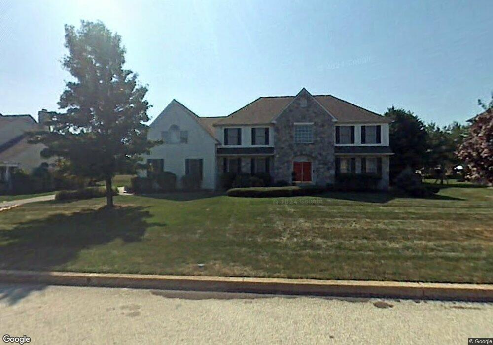
7 Tower Rd Broomall, PA 19008
Estimated Value: $1,001,000 - $1,132,000
5
Beds
4
Baths
4,750
Sq Ft
$225/Sq Ft
Est. Value
About This Home
This home is located at 7 Tower Rd, Broomall, PA 19008 and is currently estimated at $1,068,183, approximately $224 per square foot. 7 Tower Rd is a home located in Delaware County with nearby schools including Russell Elementary School, Paxon Hollow Middle School, and Marple Newtown Senior High School.
Ownership History
Date
Name
Owned For
Owner Type
Purchase Details
Closed on
Jul 4, 2001
Sold by
Lappas Stephan T and Lappas Harriet
Bought by
Scannapieco Michael A and Scannapieco Jodee J
Current Estimated Value
Home Financials for this Owner
Home Financials are based on the most recent Mortgage that was taken out on this home.
Original Mortgage
$424,800
Outstanding Balance
$164,421
Interest Rate
7.2%
Estimated Equity
$903,762
Create a Home Valuation Report for This Property
The Home Valuation Report is an in-depth analysis detailing your home's value as well as a comparison with similar homes in the area
Home Values in the Area
Average Home Value in this Area
Purchase History
| Date | Buyer | Sale Price | Title Company |
|---|---|---|---|
| Scannapieco Michael A | $531,000 | Commonwealth Land Title Ins |
Source: Public Records
Mortgage History
| Date | Status | Borrower | Loan Amount |
|---|---|---|---|
| Open | Scannapieco Michael A | $424,800 | |
| Closed | Scannapieco Michael A | $53,100 |
Source: Public Records
Tax History Compared to Growth
Tax History
| Year | Tax Paid | Tax Assessment Tax Assessment Total Assessment is a certain percentage of the fair market value that is determined by local assessors to be the total taxable value of land and additions on the property. | Land | Improvement |
|---|---|---|---|---|
| 2025 | $10,602 | $613,510 | $167,810 | $445,700 |
| 2024 | $10,602 | $613,510 | $167,810 | $445,700 |
| 2023 | $10,266 | $613,510 | $167,810 | $445,700 |
| 2022 | $10,071 | $613,510 | $167,810 | $445,700 |
| 2021 | $15,199 | $613,510 | $167,810 | $445,700 |
| 2020 | $11,464 | $398,370 | $95,750 | $302,620 |
| 2019 | $11,325 | $398,370 | $95,750 | $302,620 |
| 2018 | $11,208 | $398,370 | $0 | $0 |
| 2017 | $11,214 | $398,370 | $0 | $0 |
| 2016 | $2,186 | $398,370 | $0 | $0 |
| 2015 | $2,186 | $398,370 | $0 | $0 |
| 2014 | $2,186 | $398,370 | $0 | $0 |
Source: Public Records
Map
Nearby Homes
- 104 Harvest Ln
- 2 Stoney End Rd
- 5 Stoney End Rd
- L:415 Cedar Grove Rd
- 1038 Palmers Mill Rd
- 980 Palmers Mill Rd
- 210 Martins Run
- 209 Beechtree Dr
- 2613 Caranel Rd
- 102 Gibson Ct
- 104 Gibson Ct
- 0 Cedar Grove Rd Unit PADE2098754
- 106 Gibson Ct
- 608 Dolores Dr
- 35 Pine Tree Dr
- 2734 Old Cedar Grove Rd
- 101 Eagle Dr
- 2789 Highland Ave
- 113 Eagle Dr
- 101 CD Eagle Dr