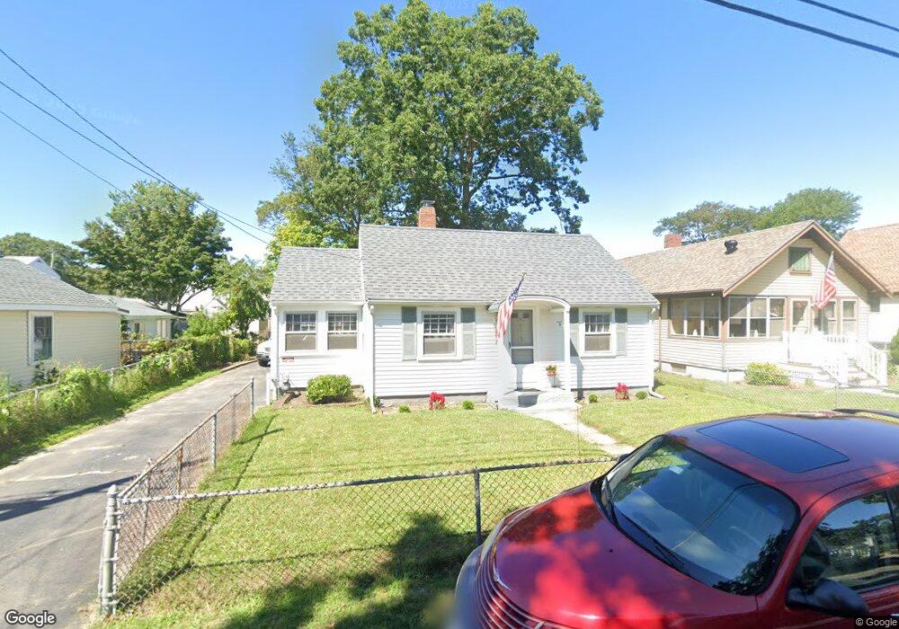
7 Trinity Ln Wareham, MA 02571
Wareham Center NeighborhoodEstimated Value: $319,000 - $365,931
2
Beds
1
Bath
730
Sq Ft
$477/Sq Ft
Est. Value
About This Home
This home is located at 7 Trinity Ln, Wareham, MA 02571 and is currently estimated at $347,983, approximately $476 per square foot. 7 Trinity Ln is a home located in Plymouth County.
Ownership History
Date
Name
Owned For
Owner Type
Purchase Details
Closed on
May 19, 2022
Sold by
Driscoll Bernadette
Bought by
Driscoll Robert E and Driscoll Bernadette M
Current Estimated Value
Purchase Details
Closed on
Nov 18, 1994
Sold by
Monroe Livia T
Bought by
Super David W and Super Elinore E
Create a Home Valuation Report for This Property
The Home Valuation Report is an in-depth analysis detailing your home's value as well as a comparison with similar homes in the area
Home Values in the Area
Average Home Value in this Area
Purchase History
| Date | Buyer | Sale Price | Title Company |
|---|---|---|---|
| Driscoll Robert E | -- | None Available | |
| Super David W | $77,000 | -- | |
| Super David W | $77,000 | -- |
Source: Public Records
Mortgage History
| Date | Status | Borrower | Loan Amount |
|---|---|---|---|
| Previous Owner | Super David W | $25,000 |
Source: Public Records
Tax History
| Year | Tax Paid | Tax Assessment Tax Assessment Total Assessment is a certain percentage of the fair market value that is determined by local assessors to be the total taxable value of land and additions on the property. | Land | Improvement |
|---|---|---|---|---|
| 2025 | $3,182 | $305,400 | $115,500 | $189,900 |
| 2024 | $3,148 | $280,300 | $88,600 | $191,700 |
| 2023 | $2,776 | $249,500 | $80,500 | $169,000 |
| 2022 | $2,776 | $210,600 | $80,500 | $130,100 |
| 2021 | $2,599 | $193,200 | $80,500 | $112,700 |
| 2020 | $2,472 | $186,400 | $80,500 | $105,900 |
| 2019 | $2,278 | $171,400 | $73,000 | $98,400 |
| 2018 | $2,109 | $154,700 | $73,000 | $81,700 |
| 2017 | $2,074 | $154,200 | $73,000 | $81,200 |
| 2016 | $1,890 | $139,700 | $69,200 | $70,500 |
| 2015 | $1,826 | $139,700 | $69,200 | $70,500 |
| 2014 | $1,805 | $140,500 | $69,200 | $71,300 |
Source: Public Records
Map
Nearby Homes
- 21 Bayview St
- 6 Wildwood Ave
- 10 Barnes St
- 6 Pine St
- 43 Shore Ave
- 20 Grant St
- 6 Allen Ave
- 15 Broadmarsh Ave
- 3 Cranberry Grove Way Unit C
- 4 Mather Dr
- 0 Cromesett Rd (Off) Unit 73385395
- 106 Circuit Ave
- 4 Roosevelt St
- 14 Briarwood Dr
- 12 Taft St
- 233 Marion Rd
- 9 Woodville Way
- 6 Bourne Terrace
- 3 Hazel St
- 10 Oak St
Your Personal Tour Guide
Ask me questions while you tour the home.