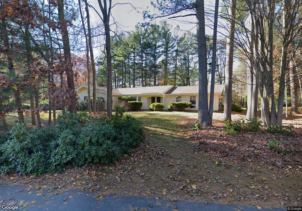
7 Tudor Rd Sudbury, MA 01776
Estimated Value: $937,576 - $1,054,000
4
Beds
3
Baths
2,782
Sq Ft
$363/Sq Ft
Est. Value
About This Home
This home is located at 7 Tudor Rd, Sudbury, MA 01776 and is currently estimated at $1,010,644, approximately $363 per square foot. 7 Tudor Rd is a home located in Middlesex County with nearby schools including General John Nixon Elementary School, Ephraim Curtis Middle School, and Lincoln-Sudbury Regional High School.
Ownership History
Date
Name
Owned For
Owner Type
Purchase Details
Closed on
Nov 21, 2011
Sold by
Rose Pamela Y
Bought by
Rose Pamela Y and Rose Alan
Current Estimated Value
Home Financials for this Owner
Home Financials are based on the most recent Mortgage that was taken out on this home.
Original Mortgage
$250,000
Outstanding Balance
$169,023
Interest Rate
3.92%
Mortgage Type
Purchase Money Mortgage
Estimated Equity
$841,621
Create a Home Valuation Report for This Property
The Home Valuation Report is an in-depth analysis detailing your home's value as well as a comparison with similar homes in the area
Home Values in the Area
Average Home Value in this Area
Purchase History
| Date | Buyer | Sale Price | Title Company |
|---|---|---|---|
| Rose Pamela Y | -- | -- | |
| Rose Pamela Y | -- | -- | |
| Rose Pamela Y | -- | -- |
Source: Public Records
Mortgage History
| Date | Status | Borrower | Loan Amount |
|---|---|---|---|
| Open | Rose Pamela Y | $100,000 | |
| Open | Rose Pamela Y | $250,000 | |
| Closed | Rose Pamela Y | $250,000 |
Source: Public Records
Tax History Compared to Growth
Tax History
| Year | Tax Paid | Tax Assessment Tax Assessment Total Assessment is a certain percentage of the fair market value that is determined by local assessors to be the total taxable value of land and additions on the property. | Land | Improvement |
|---|---|---|---|---|
| 2025 | $10,296 | $703,300 | $461,400 | $241,900 |
| 2024 | $9,941 | $680,400 | $447,800 | $232,600 |
| 2023 | $9,993 | $633,700 | $414,600 | $219,100 |
| 2022 | $10,094 | $559,200 | $380,200 | $179,000 |
| 2021 | $10,132 | $538,100 | $380,200 | $157,900 |
| 2020 | $9,928 | $538,100 | $380,200 | $157,900 |
| 2019 | $9,637 | $538,100 | $380,200 | $157,900 |
| 2018 | $9,338 | $520,800 | $400,200 | $120,600 |
| 2017 | $8,934 | $503,600 | $395,400 | $108,200 |
| 2016 | $8,628 | $484,700 | $380,200 | $104,500 |
| 2015 | $8,165 | $463,900 | $365,400 | $98,500 |
| 2014 | $8,142 | $451,600 | $354,600 | $97,000 |
Source: Public Records
Map
Nearby Homes
- 36 Old Forge Ln
- 24 Goodnow Rd
- 47 Fairbank Rd
- 4 Elderberry Cir
- 12 Camperdown Ln
- 14 Tanbark Rd
- 7 Saddle Ridge Rd
- 270 Old Lancaster Rd
- 21 Summer St
- 54 Phillips Rd
- 55 Widow Rites Ln
- 45 Widow Rites Ln
- 89 Bridle Path
- 25 Bridle Path
- 30 Rolling Ln
- 63 Canterbury Dr
- 427 Concord Rd
- 12 Hickory Rd
- 0 Robbins Rd
- 143 Peakham Rd