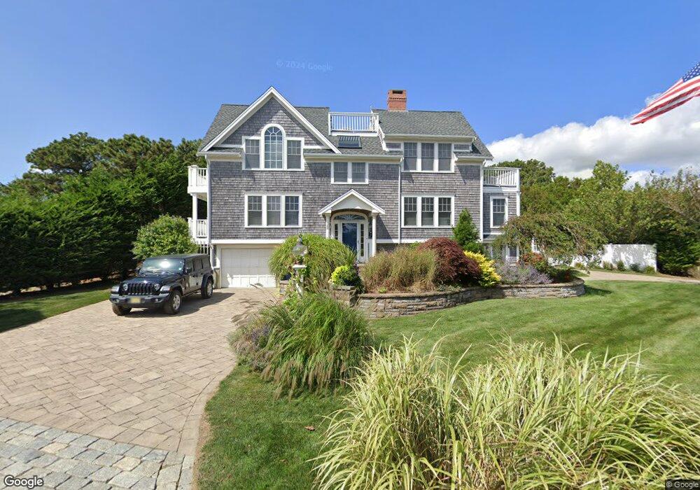
7 Union Wharf Rd Dennis Port, MA 02639
Dennis Port NeighborhoodEstimated Value: $1,016,000 - $1,597,000
3
Beds
2
Baths
2,052
Sq Ft
$642/Sq Ft
Est. Value
About This Home
This home is located at 7 Union Wharf Rd, Dennis Port, MA 02639 and is currently estimated at $1,316,519, approximately $641 per square foot. 7 Union Wharf Rd is a home located in Barnstable County with nearby schools including Dennis-Yarmouth Regional High School and St. Pius X. School.
Ownership History
Date
Name
Owned For
Owner Type
Purchase Details
Closed on
Jun 2, 2008
Sold by
Jeanne M Holden Ret and Holden
Bought by
Hammond Christine and Hammond William P
Current Estimated Value
Home Financials for this Owner
Home Financials are based on the most recent Mortgage that was taken out on this home.
Original Mortgage
$417,000
Outstanding Balance
$265,666
Interest Rate
5.91%
Mortgage Type
Purchase Money Mortgage
Estimated Equity
$1,050,853
Create a Home Valuation Report for This Property
The Home Valuation Report is an in-depth analysis detailing your home's value as well as a comparison with similar homes in the area
Home Values in the Area
Average Home Value in this Area
Purchase History
| Date | Buyer | Sale Price | Title Company |
|---|---|---|---|
| Hammond Christine | $288,125 | -- | |
| Hammond Christine | $288,125 | -- |
Source: Public Records
Mortgage History
| Date | Status | Borrower | Loan Amount |
|---|---|---|---|
| Open | Hammond Christine | $417,000 |
Source: Public Records
Tax History Compared to Growth
Tax History
| Year | Tax Paid | Tax Assessment Tax Assessment Total Assessment is a certain percentage of the fair market value that is determined by local assessors to be the total taxable value of land and additions on the property. | Land | Improvement |
|---|---|---|---|---|
| 2025 | $5,187 | $1,197,900 | $407,900 | $790,000 |
| 2024 | $5,294 | $1,205,900 | $392,300 | $813,600 |
| 2023 | $4,953 | $1,060,600 | $320,900 | $739,700 |
| 2022 | $4,457 | $795,900 | $289,100 | $506,800 |
| 2021 | $4,357 | $722,600 | $283,400 | $439,200 |
| 2020 | $1,039 | $648,000 | $283,400 | $364,600 |
| 2019 | $3,818 | $618,800 | $277,900 | $340,900 |
| 2018 | $967 | $608,500 | $264,500 | $344,000 |
| 2017 | $3,981 | $647,300 | $264,500 | $382,800 |
| 2016 | $4,096 | $627,300 | $302,300 | $325,000 |
| 2015 | $4,015 | $627,300 | $302,300 | $325,000 |
| 2014 | $4,053 | $638,200 | $302,300 | $335,900 |
Source: Public Records
Map
Nearby Homes
- 402 Old Wharf Rd
- 402 Old Wharf Rd
- 405 Old Wharf Rd Unit B204
- 405 Old Wharf Rd Unit B204
- 102 Sea St
- 37-A Beach Hills Rd
- 22 Ferncliff Rd
- 37 Beach Hills Rd
- 9 Chase Ave Unit 6
- 262 Old Wharf Rd Unit 67
- 262 Old Wharf Rd Unit 5
- 262 Old Wharf Rd Unit 5
- 262 Old Wharf Rd Unit 20
- 262 Old Wharf Rd Unit 87
- 11 Ocean Park W
- 241 Old Wharf Rd Unit 82
- 241 Old Wharf Rd Unit 127
- 241 Old Wharf Rd Unit 90
- 217 Old Wharf Rd Unit 64
- 26 Manning Rd
- 353 Old Wharf Rd
- 14 Union Wharf Rd
- 8 Union Wharf Rd
- 18 Union Wharf Rd
- 10 Union Wharf Rd
- 10-A Union Wharf Rd
- 4 Union Wharf Rd
- 30 Highbank Cir
- 358 Old Wharf Rd
- 354 Old Wharf Rd
- 356 Old Wharf Rd Unit 2
- 354 Old Wharf Rd Unit 1
- 34 Highbank Cir
- 15 Union Wharf Rd
- 40 Highbank Cir
- 11 Union Wharf Rd
- 14 Flakeyard Rd
- 3 Union Wharf Rd
- 362 Old Wharf Rd
- 362 Old Wharf Rd Unit 49