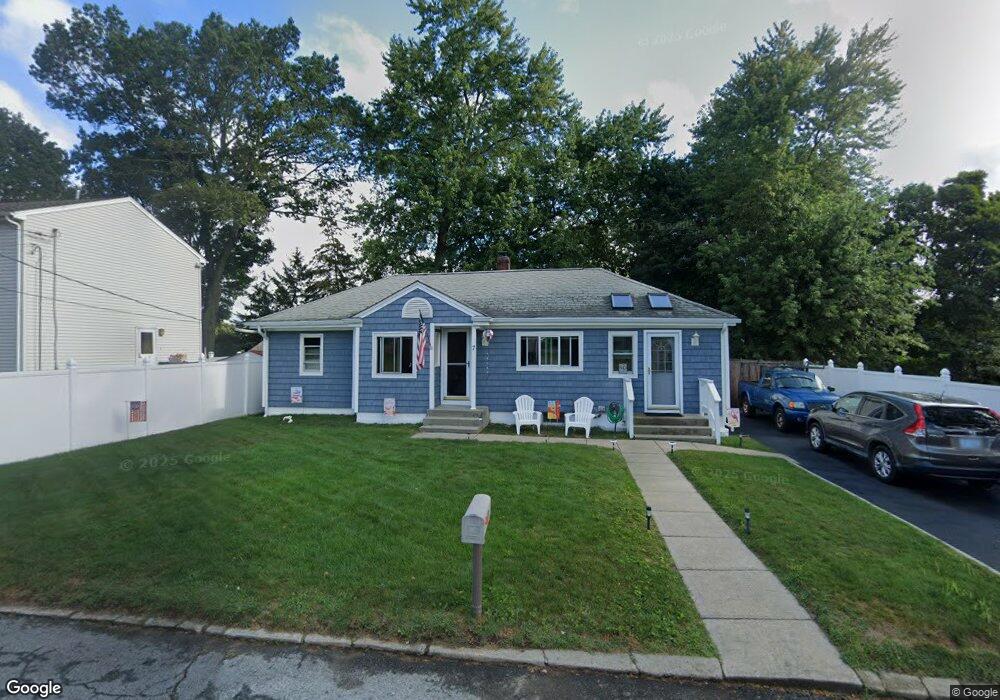
7 Valrene St Coventry, RI 02816
Crompton NeighborhoodEstimated Value: $343,846 - $355,000
2
Beds
1
Bath
928
Sq Ft
$376/Sq Ft
Est. Value
About This Home
This home is located at 7 Valrene St, Coventry, RI 02816 and is currently estimated at $349,212, approximately $376 per square foot. 7 Valrene St is a home located in Kent County with nearby schools including Alan Shawn Feinstein Ms Of Cov, Coventry High School, and Father John V. Doyle School.
Ownership History
Date
Name
Owned For
Owner Type
Purchase Details
Closed on
May 31, 1994
Sold by
Roderick Donald M and Roderick Karen
Bought by
Pearson James and Pearson Donna
Current Estimated Value
Create a Home Valuation Report for This Property
The Home Valuation Report is an in-depth analysis detailing your home's value as well as a comparison with similar homes in the area
Home Values in the Area
Average Home Value in this Area
Purchase History
| Date | Buyer | Sale Price | Title Company |
|---|---|---|---|
| Pearson James | $99,500 | -- |
Source: Public Records
Mortgage History
| Date | Status | Borrower | Loan Amount |
|---|---|---|---|
| Open | Pearson James | $123,000 | |
| Closed | Pearson James | $125,000 | |
| Closed | Pearson James | $140,000 |
Source: Public Records
Tax History Compared to Growth
Tax History
| Year | Tax Paid | Tax Assessment Tax Assessment Total Assessment is a certain percentage of the fair market value that is determined by local assessors to be the total taxable value of land and additions on the property. | Land | Improvement |
|---|---|---|---|---|
| 2024 | $3,987 | $251,700 | $98,800 | $152,900 |
| 2023 | $3,859 | $251,700 | $98,800 | $152,900 |
| 2022 | $4,000 | $204,400 | $95,000 | $109,400 |
| 2021 | $3,965 | $204,400 | $95,000 | $109,400 |
| 2020 | $4,546 | $204,400 | $95,000 | $109,400 |
| 2019 | $3,598 | $161,800 | $72,200 | $89,600 |
| 2018 | $3,496 | $161,800 | $72,200 | $89,600 |
| 2017 | $3,395 | $161,800 | $72,200 | $89,600 |
| 2016 | $2,965 | $138,500 | $68,200 | $70,300 |
| 2015 | $2,885 | $138,500 | $68,200 | $70,300 |
| 2014 | $2,825 | $138,500 | $68,200 | $70,300 |
| 2013 | $3,075 | $164,800 | $86,900 | $77,900 |
Source: Public Records
Map
Nearby Homes
- 0 New London Turnpike
- 65 Angus St
- 12 Whittier Dr
- 25 Wescott Way Unit 80
- 105 Scenic Dr
- 10 Minglewood Dr
- 12 Longbow Dr
- 1 Hampton Rd Unit 27
- 19 Hampton Rd Unit 69
- 32 Wescott Way Unit 53
- 40 Wescott Way Unit 57
- 15 Hampton Rd Unit 20
- 211 Tiogue Ave
- 194 Kimberly Ln
- 75 Esmond St Unit 1D
- 24 Seneca St
- 99 Silverwood Ln
- 40 E Greenwich Ave
- 63 Princeton Ave
- 18 Jade Rd
- 11 Valrene St
- 11 Varlene St
- 1991 New London Turnpike
- 14 Angus St
- 18 Angus St
- 15 Valrene St
- 6 Angus St
- 2002 New London Turnpike
- 1989 New London Turnpike
- 2001 New London Turnpike
- 18 Valrene St
- 1990 New London Turnpike
- 30 Angus St
- 25 Valrene St
- 15 Angus St
- 5 Rejane St
- 1986 New London Turnpike
- 11 Angus St
- 1998 New London Turnpike
- 23 Angus St