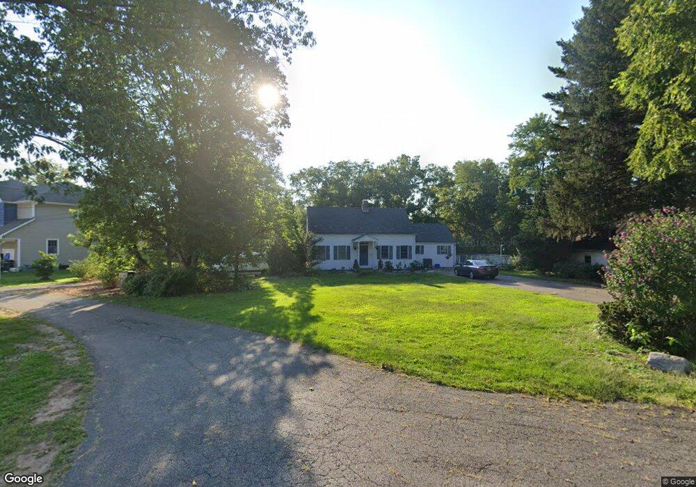
7 Walnut Ln Colonia, NJ 07067
Estimated Value: $652,246 - $803,000
2
Beds
2
Baths
1,741
Sq Ft
$432/Sq Ft
Est. Value
About This Home
This home is located at 7 Walnut Ln, Colonia, NJ 07067 and is currently estimated at $752,562, approximately $432 per square foot. 7 Walnut Ln is a home located in Middlesex County with nearby schools including Lynn Crest Elementary School, Colonia Middle School, and Colonia High School.
Ownership History
Date
Name
Owned For
Owner Type
Purchase Details
Closed on
Feb 24, 2018
Sold by
Magnuson Roger and Magnuson Mary
Bought by
Rastogi Aman and Ng Andrea Yen Ton
Current Estimated Value
Home Financials for this Owner
Home Financials are based on the most recent Mortgage that was taken out on this home.
Original Mortgage
$410,000
Outstanding Balance
$348,462
Interest Rate
4.04%
Mortgage Type
New Conventional
Estimated Equity
$404,100
Purchase Details
Closed on
Oct 26, 1989
Bought by
Magnuson Roger and Magnuson Mary
Create a Home Valuation Report for This Property
The Home Valuation Report is an in-depth analysis detailing your home's value as well as a comparison with similar homes in the area
Home Values in the Area
Average Home Value in this Area
Purchase History
| Date | Buyer | Sale Price | Title Company |
|---|---|---|---|
| Rastogi Aman | -- | None Available | |
| Magnuson Roger | -- | -- |
Source: Public Records
Mortgage History
| Date | Status | Borrower | Loan Amount |
|---|---|---|---|
| Open | Rastogi Aman | $410,000 |
Source: Public Records
Tax History Compared to Growth
Tax History
| Year | Tax Paid | Tax Assessment Tax Assessment Total Assessment is a certain percentage of the fair market value that is determined by local assessors to be the total taxable value of land and additions on the property. | Land | Improvement |
|---|---|---|---|---|
| 2025 | $14,385 | $119,100 | $46,300 | $72,800 |
| 2024 | $14,078 | $119,100 | $46,300 | $72,800 |
| 2023 | $14,078 | $119,100 | $46,300 | $72,800 |
| 2022 | $13,732 | $119,100 | $46,300 | $72,800 |
| 2021 | $13,602 | $119,100 | $46,300 | $72,800 |
| 2020 | $13,189 | $119,100 | $46,300 | $72,800 |
| 2019 | $12,865 | $119,100 | $46,300 | $72,800 |
| 2018 | $12,614 | $119,100 | $46,300 | $72,800 |
| 2017 | $11,961 | $115,000 | $46,300 | $68,700 |
| 2016 | $11,862 | $115,000 | $46,300 | $68,700 |
| 2015 | $11,661 | $115,000 | $46,300 | $68,700 |
| 2014 | $11,409 | $115,000 | $46,300 | $68,700 |
Source: Public Records
Map
Nearby Homes
- 42 Harrow Dr
- 14 Parson Place
- 16 Stafford Rd
- 80 Berkley Ave
- 403 New Dover Rd
- 399 Middlesex Ave
- 108 Midwood Way
- 82 Ravine Dr
- 54 Montrose Ave
- 178 N Grant Ave
- 27 Eagle St
- 66 Claremont Ave
- 115 Mckinley Ave
- 266 Amherst Ave
- 47 Marlboro Ln
- 53 Sterling Dr
- 147 Warwick St
- 92 Mckinley Ave
- 39 Marlboro Ln
- 80 Mckinley Ave
- 1 Walnut Ln
- 35 Derby Ln
- 382 New Dover Rd
- 374 New Dover Rd
- 386 New Dover Rd
- 19 Parson Place
- 378 New Dover Rd
- 31 Parson Place
- 15 Parson Place
- 515 Middlesex Ave
- 21 Derby Ln
- 8 Sherwood Rd
- 10 Harrow Dr
- 377 New Dover Rd
- 530 Middlesex Ave
- 22 Sherwood Rd
- 11 Parson Place
- 505 Middlesex Ave
- 390 New Dover Rd
- 375 New Dover Rd