7 Walts Way Lyndeborough, NH 03082
Estimated Value: $542,082 - $669,000
3
Beds
3
Baths
2,122
Sq Ft
$286/Sq Ft
Est. Value
About This Home
This home is located at 7 Walts Way, Lyndeborough, NH 03082 and is currently estimated at $606,021, approximately $285 per square foot. 7 Walts Way is a home with nearby schools including Lyndeborough Central School, Wilton-Lyndeborough Cooperative Middle School, and Wilton-Lyndeborough Cooperative High School.
Ownership History
Date
Name
Owned For
Owner Type
Purchase Details
Closed on
Jul 2, 2010
Sold by
Riendeau Martha E
Bought by
Cole Donald W and Cole Lisa A
Current Estimated Value
Home Financials for this Owner
Home Financials are based on the most recent Mortgage that was taken out on this home.
Original Mortgage
$234,152
Outstanding Balance
$154,414
Interest Rate
4.88%
Mortgage Type
Purchase Money Mortgage
Estimated Equity
$451,607
Create a Home Valuation Report for This Property
The Home Valuation Report is an in-depth analysis detailing your home's value as well as a comparison with similar homes in the area
Home Values in the Area
Average Home Value in this Area
Purchase History
We collect this data history from publicly available records. To have your information removed, we recommend requesting removal directly through your county’s website.
| Date | Buyer | Sale Price | Title Company |
|---|---|---|---|
| Cole Donald W | $255,000 | -- |
Source: Public Records
Mortgage History
We collect this data history from publicly available records. To have your information removed, we recommend requesting removal directly through your county’s website.
| Date | Status | Borrower | Loan Amount |
|---|---|---|---|
| Open | Cole Donald W | $234,152 |
Source: Public Records
Tax History
| Year | Tax Paid | Tax Assessment Tax Assessment Total Assessment is a certain percentage of the fair market value that is determined by local assessors to be the total taxable value of land and additions on the property. | Land | Improvement |
|---|---|---|---|---|
| 2025 | $7,095 | $418,062 | $110,262 | $307,800 |
| 2024 | $6,762 | $261,488 | $70,088 | $191,400 |
| 2023 | $6,216 | $261,513 | $70,113 | $191,400 |
| 2022 | $5,781 | $261,566 | $70,166 | $191,400 |
| 2021 | $5,784 | $261,732 | $70,332 | $191,400 |
| 2020 | $7,516 | $261,732 | $70,332 | $191,400 |
| 2019 | $5,879 | $192,150 | $61,350 | $130,800 |
| 2018 | $5,770 | $192,140 | $61,340 | $130,800 |
| 2017 | $5,327 | $192,020 | $61,220 | $130,800 |
| 2016 | $5,405 | $192,020 | $61,220 | $130,800 |
| 2015 | $4,856 | $192,020 | $61,220 | $130,800 |
| 2013 | $4,401 | $183,380 | $61,180 | $122,200 |
Source: Public Records
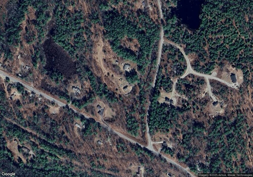
Map
Nearby Homes
- 154 Putnam Hill Rd
- 0 Barrett Hill Rd Unit 5
- 371 Burton Hwy
- A 66 Burton Hwy
- 374 Burton Hwy
- 263 Cram Hill Rd
- 58-6-2 Duggin Rd
- 26 Purgatory Falls Rd
- 10 Mountain Rd
- 8a Stonegate Farm Rd
- Lot 053 Holt Rd
- 31 Carriage Hill Rd
- 68 Gulf Rd
- off Mccrae Rd
- 77 Salisbury Rd
- F88-9 McGettigan Rd
- F/88-5 McGettigan Rd
- F/88-4 McGettigan Rd
- F88-10 McGettigan Rd
- Lots 4 & 7 Gibbons & Robbins Rd
Your Personal Tour Guide
Ask me questions while you tour the home.