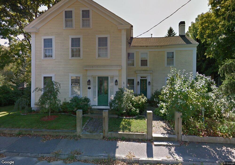
7 Water St Assonet, MA 02702
Assonet NeighborhoodEstimated Value: $403,000 - $825,000
6
Beds
5
Baths
2,739
Sq Ft
$234/Sq Ft
Est. Value
About This Home
This home is located at 7 Water St, Assonet, MA 02702 and is currently estimated at $639,782, approximately $233 per square foot. 7 Water St is a home located in Bristol County with nearby schools including Freetown Elementary School, George R Austin Intermediate School, and Freetown-Lakeville Middle School.
Ownership History
Date
Name
Owned For
Owner Type
Purchase Details
Closed on
Jul 24, 2003
Sold by
Constantine Carol A and Constantine James
Bought by
Dawson April K and Dawson Howard J
Current Estimated Value
Home Financials for this Owner
Home Financials are based on the most recent Mortgage that was taken out on this home.
Original Mortgage
$263,920
Outstanding Balance
$112,290
Interest Rate
5.27%
Mortgage Type
Purchase Money Mortgage
Estimated Equity
$527,492
Purchase Details
Closed on
Dec 17, 1993
Sold by
Humbly Alice H Est
Bought by
Constantine James and Constantine Carol A
Home Financials for this Owner
Home Financials are based on the most recent Mortgage that was taken out on this home.
Original Mortgage
$115,200
Interest Rate
7.03%
Mortgage Type
Purchase Money Mortgage
Create a Home Valuation Report for This Property
The Home Valuation Report is an in-depth analysis detailing your home's value as well as a comparison with similar homes in the area
Home Values in the Area
Average Home Value in this Area
Purchase History
| Date | Buyer | Sale Price | Title Company |
|---|---|---|---|
| Dawson April K | $329,900 | -- | |
| Constantine James | $128,000 | -- |
Source: Public Records
Mortgage History
| Date | Status | Borrower | Loan Amount |
|---|---|---|---|
| Open | Constantine James | $263,920 | |
| Previous Owner | Constantine James | $115,200 |
Source: Public Records
Tax History
| Year | Tax Paid | Tax Assessment Tax Assessment Total Assessment is a certain percentage of the fair market value that is determined by local assessors to be the total taxable value of land and additions on the property. | Land | Improvement |
|---|---|---|---|---|
| 2025 | $5,193 | $524,000 | $182,600 | $341,400 |
| 2024 | $5,159 | $494,600 | $172,200 | $322,400 |
| 2023 | $5,013 | $468,100 | $155,100 | $313,000 |
| 2022 | $4,858 | $402,800 | $137,600 | $265,200 |
| 2021 | $4,666 | $367,400 | $125,200 | $242,200 |
| 2020 | $4,633 | $355,800 | $120,400 | $235,400 |
| 2019 | $4,462 | $339,300 | $120,700 | $218,600 |
| 2018 | $4,222 | $317,200 | $120,700 | $196,500 |
| 2017 | $4,246 | $318,800 | $131,200 | $187,600 |
| 2016 | $3,761 | $287,300 | $127,500 | $159,800 |
| 2015 | $3,669 | $284,400 | $127,500 | $156,900 |
| 2014 | $3,359 | $266,400 | $109,800 | $156,600 |
Source: Public Records
Map
Nearby Homes
- 5 Hadley Heights Way
- 16 Water St Unit C
- 16 Water St Unit A
- 16 Water St Unit B
- 16 Water St Unit D
- 4 Hadley Heights Way
- 37 Simpson Ln
- 0 Sammys Ln
- 42 High St
- 47 Narrows Rd
- 4 Narrows Rd
- 117 High St
- 121 Bayview Ave
- 73 Bayview Ave
- 35 Water St
- 6 Jessie Ln
- 66 S Main St
- 52 Anthony St
- 23 Elmwood Dr
- 5455 N Main St Unit 2C
Your Personal Tour Guide
Ask me questions while you tour the home.