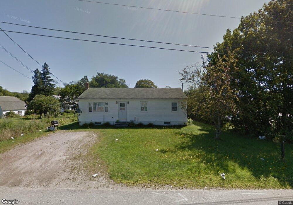
7 Watts Ln Thomaston, ME 04861
Estimated Value: $287,000 - $382,914
--
Bed
--
Bath
1,632
Sq Ft
$210/Sq Ft
Est. Value
About This Home
This home is located at 7 Watts Ln, Thomaston, ME 04861 and is currently estimated at $341,979, approximately $209 per square foot. 7 Watts Ln is a home with nearby schools including Thomaston Grammar School, Oceanside High School East, and Midcoast STEAM Microschool.
Create a Home Valuation Report for This Property
The Home Valuation Report is an in-depth analysis detailing your home's value as well as a comparison with similar homes in the area
Home Values in the Area
Average Home Value in this Area
Tax History Compared to Growth
Tax History
| Year | Tax Paid | Tax Assessment Tax Assessment Total Assessment is a certain percentage of the fair market value that is determined by local assessors to be the total taxable value of land and additions on the property. | Land | Improvement |
|---|---|---|---|---|
| 2024 | $4,500 | $225,000 | $34,500 | $190,500 |
| 2023 | $4,253 | $225,023 | $34,500 | $190,523 |
| 2022 | $3,453 | $158,259 | $34,500 | $123,759 |
| 2021 | $3,407 | $158,259 | $34,500 | $123,759 |
| 2020 | $3,486 | $158,259 | $34,500 | $123,759 |
| 2019 | $3,534 | $158,259 | $34,500 | $123,759 |
| 2018 | $3,312 | $158,259 | $34,500 | $123,759 |
| 2017 | $3,070 | $158,259 | $34,500 | $123,759 |
| 2016 | $2,956 | $158,259 | $34,500 | $123,759 |
| 2015 | $2,840 | $157,509 | $33,750 | $123,759 |
| 2014 | $2,621 | $157,509 | $33,750 | $123,759 |
| 2013 | $2,637 | $157,509 | $33,750 | $123,759 |
Source: Public Records
Map
Nearby Homes
- 40 Beechwood St
- 85 Main St
- 52 Main St
- 482 Main St
- 102 Beechwood St
- 104 Beechwood St
- 92 Maurice Ave
- 76 Fish St
- 36 Sunrise Terrace
- 26 Clark St
- 490 Main St
- Lot 4 Ashland Dr
- Lot 151 Dunbar Rd
- 000 Atlantic Highway Map 4 Lot 24
- 52 Ledge Rd
- 46 Cedar Dr
- 360 Cushing Rd
- 0 Branch Brook Rd
- 152 Spear Mill Rd
- 71 Woodland Ave