7 West Dr Cornwall Bridge, CT 06754
Estimated Value: $574,000 - $713,000
3
Beds
3
Baths
1,848
Sq Ft
$366/Sq Ft
Est. Value
About This Home
This home is located at 7 West Dr, Cornwall Bridge, CT 06754 and is currently estimated at $675,999, approximately $365 per square foot. 7 West Dr is a home with nearby schools including Cornwall Consolidated School and Housatonic Valley Regional High School.
Ownership History
Date
Name
Owned For
Owner Type
Purchase Details
Closed on
Sep 6, 2018
Sold by
Lynch James P
Bought by
Bishop Barbara and Bishop Clinton R
Current Estimated Value
Home Financials for this Owner
Home Financials are based on the most recent Mortgage that was taken out on this home.
Original Mortgage
$304,000
Outstanding Balance
$264,560
Interest Rate
4.5%
Mortgage Type
Purchase Money Mortgage
Estimated Equity
$411,439
Purchase Details
Closed on
Nov 3, 2014
Sold by
Brean Anita W
Bought by
Lynch James P
Create a Home Valuation Report for This Property
The Home Valuation Report is an in-depth analysis detailing your home's value as well as a comparison with similar homes in the area
Home Values in the Area
Average Home Value in this Area
Purchase History
| Date | Buyer | Sale Price | Title Company |
|---|---|---|---|
| Bishop Barbara | $380,000 | -- | |
| Lynch James P | $250,000 | -- |
Source: Public Records
Mortgage History
| Date | Status | Borrower | Loan Amount |
|---|---|---|---|
| Open | Lynch James P | $304,000 | |
| Previous Owner | Lynch James P | $85,000 | |
| Previous Owner | Lynch James P | $105,000 | |
| Previous Owner | Lynch James P | $60,000 |
Source: Public Records
Tax History
| Year | Tax Paid | Tax Assessment Tax Assessment Total Assessment is a certain percentage of the fair market value that is determined by local assessors to be the total taxable value of land and additions on the property. | Land | Improvement |
|---|---|---|---|---|
| 2025 | $5,583 | $349,800 | $172,800 | $177,000 |
| 2024 | $5,352 | $349,800 | $172,800 | $177,000 |
| 2023 | $5,142 | $349,800 | $172,800 | $177,000 |
| 2022 | $5,069 | $349,800 | $172,800 | $177,000 |
| 2021 | $4,950 | $296,400 | $148,100 | $148,300 |
| 2020 | $4,820 | $288,600 | $148,100 | $140,500 |
| 2019 | $4,820 | $288,600 | $148,100 | $140,500 |
| 2018 | $4,797 | $288,600 | $148,100 | $140,500 |
| 2017 | $4,652 | $288,600 | $148,100 | $140,500 |
| 2016 | $4,717 | $308,100 | $172,800 | $135,300 |
| 2015 | $4,662 | $308,100 | $172,800 | $135,300 |
| 2014 | $4,638 | $311,300 | $176,000 | $135,300 |
Source: Public Records
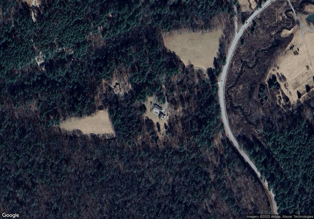
Map
Nearby Homes
- 9 Jewell St
- 82 Valley Rd
- 0 Railroad St
- 233 Sharon-Goshen Turnpike
- 70 Kent Rd S
- 20 Kirk Rd
- 0 Swaller Hill Rd Unit 24065338
- 0 Swaller Hill Rd Unit 24141946
- 0 Swaller Hill Rd Unit 24117863
- 143 Whitcomb Hill Rd
- 11 Day Rd
- 39 Swaller Hill Rd Unit lot 3
- 39 Swaller Hill Rd Unit 1
- 200 Sharon Mountain Rd
- 21 S Ellsworth Rd
- 25 Bowne Rd
- 130 Sharon Mountain Rd
- 33 Tyler Ridge Dr
- 76 Fairchild Rd
- 139 W Side Rd
- 7 West Dr
- 45 Popple Swamp Rd
- 37 Popple Swamp Rd
- 49 Popple Swamp Rd
- 121 Furnace Brook Rd
- 50 Popple Swamp Rd
- 0 Popple Swamp Rd
- 31 Popple Swamp Rd
- 115 Furnace Brook Rd
- 23 Popple Swamp Rd
- 55 Popple Swamp Rd
- 38 Popple Swamp Rd
- 15 Popple Swamp Rd
- 24 Popple Swamp Rd
- 22 Popple Swamp Rd
- 63 Popple Swamp Rd Unit 65
- 11 Furnace Brook Rd
- 11 Popple Swamp Rd
- 00 Popple Swamp Rd
- 71 Popple Swamp Rd
Your Personal Tour Guide
Ask me questions while you tour the home.