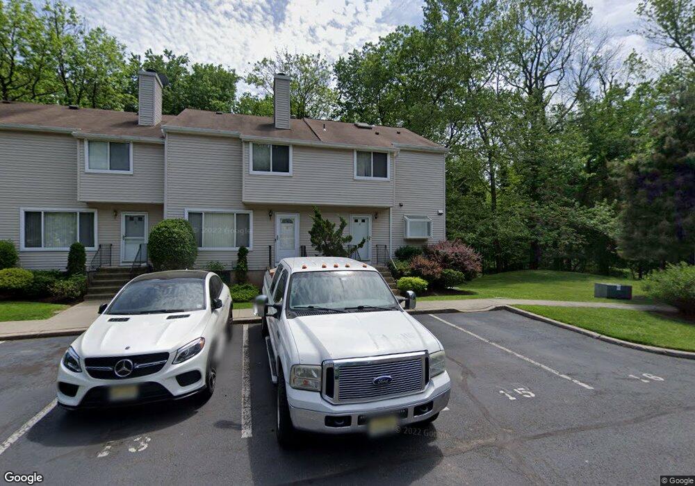
7 Westbrook Ct Roselle, NJ 07203
Estimated Value: $411,000 - $489,000
2
Beds
3
Baths
1,320
Sq Ft
$337/Sq Ft
Est. Value
About This Home
This home is located at 7 Westbrook Ct, Roselle, NJ 07203 and is currently estimated at $444,764, approximately $336 per square foot. 7 Westbrook Ct is a home located in Union County with nearby schools including Washington Elementary School, Leonard V. Moore Middle School, and Grace Wilday Junior High School.
Ownership History
Date
Name
Owned For
Owner Type
Purchase Details
Closed on
Jun 30, 2010
Sold by
Tuchol Peter J and Tuchol Phyllis F
Bought by
Watson Trecilla
Current Estimated Value
Home Financials for this Owner
Home Financials are based on the most recent Mortgage that was taken out on this home.
Original Mortgage
$236,811
Outstanding Balance
$158,540
Interest Rate
4.87%
Mortgage Type
FHA
Estimated Equity
$286,224
Purchase Details
Closed on
Feb 14, 2001
Sold by
Josko Tuchol Deborah
Bought by
Tuchol Peter J
Purchase Details
Closed on
Dec 10, 1996
Sold by
Kalkstein Joseph H and Kalkstein Susan Ann
Bought by
Tuchol Peter J and Tuchol Deborah A
Home Financials for this Owner
Home Financials are based on the most recent Mortgage that was taken out on this home.
Original Mortgage
$125,500
Interest Rate
7.62%
Create a Home Valuation Report for This Property
The Home Valuation Report is an in-depth analysis detailing your home's value as well as a comparison with similar homes in the area
Home Values in the Area
Average Home Value in this Area
Purchase History
| Date | Buyer | Sale Price | Title Company |
|---|---|---|---|
| Watson Trecilla | $240,000 | None Available | |
| Tuchol Peter J | -- | -- | |
| Tuchol Peter J | $132,500 | -- |
Source: Public Records
Mortgage History
| Date | Status | Borrower | Loan Amount |
|---|---|---|---|
| Open | Watson Trecilla | $236,811 | |
| Previous Owner | Tuchol Peter J | $125,500 |
Source: Public Records
Tax History Compared to Growth
Tax History
| Year | Tax Paid | Tax Assessment Tax Assessment Total Assessment is a certain percentage of the fair market value that is determined by local assessors to be the total taxable value of land and additions on the property. | Land | Improvement |
|---|---|---|---|---|
| 2025 | $9,582 | $110,200 | $46,800 | $63,400 |
| 2024 | $9,342 | $110,200 | $46,800 | $63,400 |
| 2023 | $9,342 | $110,200 | $46,800 | $63,400 |
| 2022 | $9,407 | $110,200 | $46,800 | $63,400 |
| 2021 | $9,350 | $110,200 | $46,800 | $63,400 |
| 2020 | $9,321 | $110,200 | $46,800 | $63,400 |
| 2019 | $9,202 | $110,200 | $46,800 | $63,400 |
| 2018 | $9,151 | $110,200 | $46,800 | $63,400 |
| 2017 | $9,103 | $110,200 | $46,800 | $63,400 |
| 2016 | $8,902 | $110,200 | $46,800 | $63,400 |
| 2015 | $8,901 | $110,200 | $46,800 | $63,400 |
| 2014 | $8,653 | $110,200 | $46,800 | $63,400 |
Source: Public Records
Map
Nearby Homes
- 38 Independence Dr
- 446 W 6th Ave
- 13 Independence Dr
- 210 W 7th Ave
- 217 Grace St
- 932 Wheatsheaf Rd
- 216 W 6th Ave
- 540 W 7th Ave
- 443 Wheatsheaf Rd
- 932 Chestnut St
- 538 Dietz St
- 132 W 6th Ave
- 221 Douglas Rd
- 403 John St
- 448 Cristiani St
- 126 W 5th Ave
- 2513 N Wood Ave
- 115 Clark St
- 114 E 5th Ave
- 142 E 6th Ave
- 6 Westbrook Ct
- 8 Westbrook Ct
- 5 Westbrook Ct
- 4 Westbrook Ct
- 3 Westbrook Ct
- 9 Westbrook Ct
- 2 Westbrook Ct
- 10 Westbrook Ct
- 1 Westbrook Ct
- 11 Westbrook Ct
- 12 Westbrook Ct
- 13 Westbrook Ct
- 30 Westbrook Ct
- 14 Westbrook Ct
- 18 Westbrook Ct
- 29 Westbrook Ct
- 20 Westbrook Ct
- 15 Westbrook Ct
- 28 Westbrook Ct
- 21 Westbrook Ct