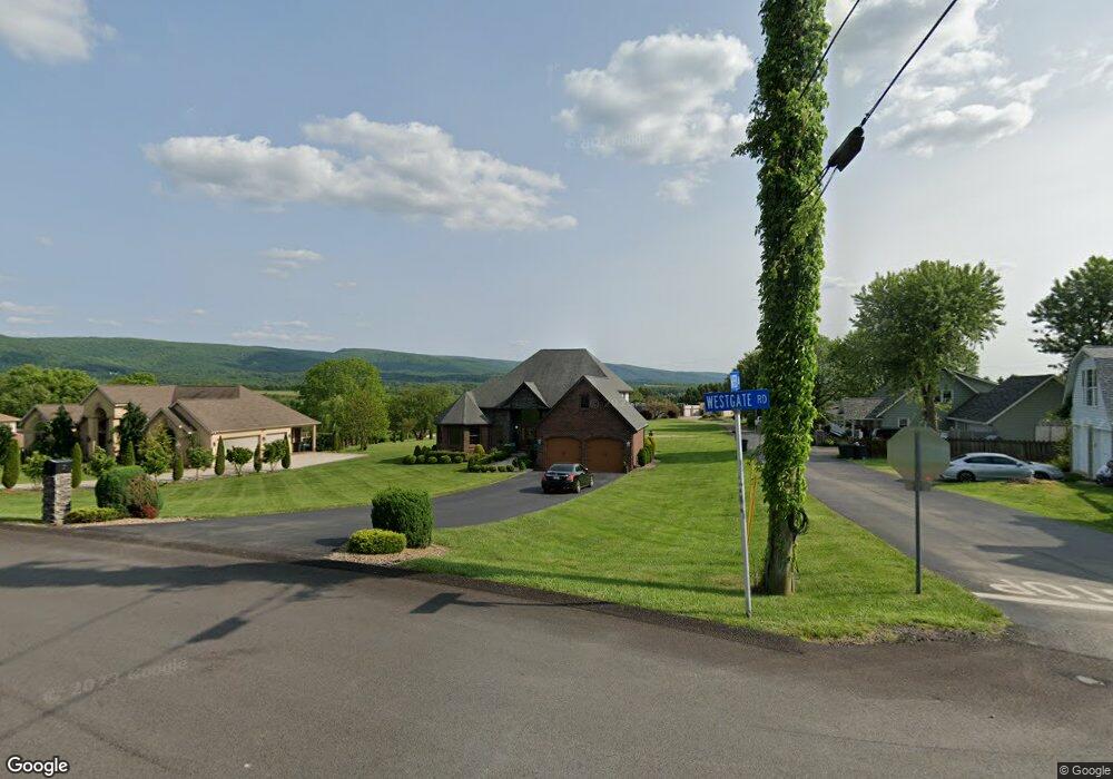
7 Westgate Rd Uniontown, PA 15401
Estimated Value: $472,064 - $508,000
3
Beds
1
Bath
664
Sq Ft
$738/Sq Ft
Est. Value
About This Home
This home is located at 7 Westgate Rd, Uniontown, PA 15401 and is currently estimated at $490,355, approximately $738 per square foot. 7 Westgate Rd is a home located in Fayette County with nearby schools including Laurel Highlands Senior High School and St. John the Evangelist School.
Ownership History
Date
Name
Owned For
Owner Type
Purchase Details
Closed on
Nov 2, 2020
Sold by
Baugh Jonathan D
Bought by
Davis Javon and Davis Candace N
Current Estimated Value
Home Financials for this Owner
Home Financials are based on the most recent Mortgage that was taken out on this home.
Original Mortgage
$294,000
Outstanding Balance
$262,088
Interest Rate
2.9%
Mortgage Type
New Conventional
Estimated Equity
$228,267
Purchase Details
Closed on
Feb 15, 2011
Sold by
Punko Brian Z and Punko Erica L
Bought by
Baugh Jonathan D
Purchase Details
Closed on
Jan 15, 2007
Sold by
Hankins John L and Hankins Carol P
Bought by
Punko Brian Z and Punko Erica L
Home Financials for this Owner
Home Financials are based on the most recent Mortgage that was taken out on this home.
Original Mortgage
$38,400
Interest Rate
6.18%
Mortgage Type
FHA
Create a Home Valuation Report for This Property
The Home Valuation Report is an in-depth analysis detailing your home's value as well as a comparison with similar homes in the area
Home Values in the Area
Average Home Value in this Area
Purchase History
| Date | Buyer | Sale Price | Title Company |
|---|---|---|---|
| Davis Javon | $420,000 | Experienced Closing Svcs Llc | |
| Baugh Jonathan D | $53,000 | None Available | |
| Punko Brian Z | $48,000 | None Available |
Source: Public Records
Mortgage History
| Date | Status | Borrower | Loan Amount |
|---|---|---|---|
| Open | Davis Javon | $294,000 | |
| Previous Owner | Punko Brian Z | $38,400 |
Source: Public Records
Tax History Compared to Growth
Tax History
| Year | Tax Paid | Tax Assessment Tax Assessment Total Assessment is a certain percentage of the fair market value that is determined by local assessors to be the total taxable value of land and additions on the property. | Land | Improvement |
|---|---|---|---|---|
| 2025 | $3,647 | $127,785 | $23,720 | $104,065 |
| 2024 | $3,543 | $127,785 | $23,720 | $104,065 |
| 2023 | $6,816 | $127,785 | $23,720 | $104,065 |
| 2022 | $6,752 | $127,785 | $23,720 | $104,065 |
| 2021 | $6,564 | $127,785 | $23,720 | $104,065 |
| 2020 | $6,564 | $127,785 | $23,720 | $104,065 |
| 2019 | $6,027 | $127,785 | $23,720 | $104,065 |
| 2018 | $5,845 | $127,785 | $23,720 | $104,065 |
| 2017 | $5,845 | $127,785 | $23,720 | $104,065 |
| 2016 | -- | $127,785 | $23,720 | $104,065 |
| 2015 | -- | $127,785 | $23,720 | $104,065 |
| 2014 | -- | $255,570 | $47,440 | $208,130 |
Source: Public Records
Map
Nearby Homes
- 103 Concord Place
- 365 Saratoga Dr
- 388 Derrick Ave
- 60 Heritage Hills Rd
- 70 Heritage Hills Rd
- 42 Oconnell Ave
- 337 Saratoga Dr
- 5 Albert St
- 87 Farmview Dr
- 14 Amy Way
- 615 Morgantown Rd
- 302 Derrick Ave
- 596 Morgantown Rd
- 15 Trump Ave
- 160 Brownfield Ln
- 1019 Kimberly Dr
- 105 Luzerne Ave
- 26 Sycamore St
- 86 Virginia Ave
- 34 Chestnut St