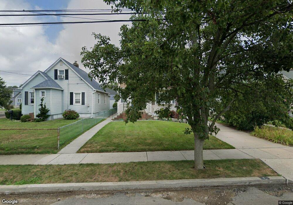
7 Westmoreland Rd Merrick, NY 11566
Estimated Value: $746,000 - $798,372
4
Beds
2
Baths
1,840
Sq Ft
$420/Sq Ft
Est. Value
About This Home
This home is located at 7 Westmoreland Rd, Merrick, NY 11566 and is currently estimated at $772,186, approximately $419 per square foot. 7 Westmoreland Rd is a home located in Nassau County with nearby schools including Merrick Avenue Middle School, Sanford H Calhoun High School, and Grace Christian Academy.
Ownership History
Date
Name
Owned For
Owner Type
Purchase Details
Closed on
Dec 5, 2018
Sold by
Woodbury Trust
Bought by
Keffas Joseph J and Keffas Joanna C
Current Estimated Value
Home Financials for this Owner
Home Financials are based on the most recent Mortgage that was taken out on this home.
Original Mortgage
$376,000
Outstanding Balance
$331,925
Interest Rate
4.9%
Mortgage Type
New Conventional
Estimated Equity
$440,261
Purchase Details
Closed on
Dec 5, 2006
Sold by
Woodbury Arnold E
Purchase Details
Closed on
Feb 9, 2001
Create a Home Valuation Report for This Property
The Home Valuation Report is an in-depth analysis detailing your home's value as well as a comparison with similar homes in the area
Home Values in the Area
Average Home Value in this Area
Purchase History
| Date | Buyer | Sale Price | Title Company |
|---|---|---|---|
| Keffas Joseph J | $470,000 | Old Republic National Title | |
| -- | -- | -- | |
| -- | -- | -- |
Source: Public Records
Mortgage History
| Date | Status | Borrower | Loan Amount |
|---|---|---|---|
| Open | Keffas Joseph J | $376,000 |
Source: Public Records
Tax History Compared to Growth
Tax History
| Year | Tax Paid | Tax Assessment Tax Assessment Total Assessment is a certain percentage of the fair market value that is determined by local assessors to be the total taxable value of land and additions on the property. | Land | Improvement |
|---|---|---|---|---|
| 2025 | $14,115 | $471 | $222 | $249 |
| 2024 | $3,237 | $475 | $224 | $251 |
| 2023 | $13,591 | $499 | $235 | $264 |
| 2022 | $13,591 | $499 | $235 | $264 |
| 2021 | $18,313 | $485 | $167 | $318 |
| 2020 | $13,265 | $643 | $567 | $76 |
| 2019 | $3,204 | $689 | $570 | $119 |
| 2018 | $3,261 | $735 | $0 | $0 |
| 2017 | $7,561 | $781 | $496 | $285 |
| 2016 | $10,903 | $827 | $525 | $302 |
| 2015 | $3,802 | $958 | $608 | $350 |
| 2014 | $3,802 | $958 | $608 | $350 |
| 2013 | $3,597 | $958 | $608 | $350 |
Source: Public Records
Map
Nearby Homes
- 1674 Birch Dr
- 10 Central Pkwy
- 1690 Argyle Rd
- 131 Gregory Ave
- 49 Princeton Place
- 174 Babylon Turnpike
- 31 Alice St
- 2991 Girard Place
- 54 Beverly Rd
- 2291 Girard Place
- 25 Babylon Turnpike
- 2608 Montauk Ave
- 96 Beach Dr
- 2 Dorothy Ct
- 45 Lakeview Ave
- 10 Dorothy Ct
- 179 Commonwealth Ave
- 1859 George Ct
- 6 Frederick Ave
- 78 Jesse St
- 9 Westmoreland Rd
- 5 Westmoreland Rd
- 87 Central Blvd
- 13 Westmoreland Rd
- 31 Berkshire Rd
- 1707 Westmoreland Rd
- 83 Central Blvd
- 27 Berkshire Rd
- 8 Westmoreland Rd
- 6 Westmoreland Rd
- 12 Westmoreland Rd
- 1711 Westmoreland Rd
- 96 Central Blvd
- 14 Westmoreland Rd
- 92 Central Blvd
- 23 Berkshire Rd
- 88 Central Blvd
- 1708 Westmoreland Rd
- 19 Westmoreland Rd
- 1688 Westmoreland Rd