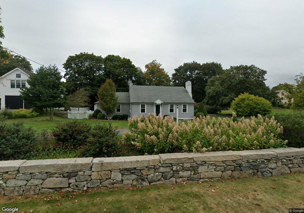
7 Westport Harbor Rd Little Compton, RI 02837
Estimated Value: $769,000 - $978,000
2
Beds
2
Baths
1,644
Sq Ft
$530/Sq Ft
Est. Value
About This Home
This home is located at 7 Westport Harbor Rd, Little Compton, RI 02837 and is currently estimated at $871,999, approximately $530 per square foot. 7 Westport Harbor Rd is a home located in Newport County with nearby schools including Wilbur & McMahon School.
Ownership History
Date
Name
Owned For
Owner Type
Purchase Details
Closed on
May 20, 2021
Sold by
Williams Donald C and Williams Janice P
Bought by
Williams Rt and Williams
Current Estimated Value
Purchase Details
Closed on
Oct 6, 2003
Sold by
Cook Belmeida
Bought by
Williams Donald and Williams Janice
Create a Home Valuation Report for This Property
The Home Valuation Report is an in-depth analysis detailing your home's value as well as a comparison with similar homes in the area
Home Values in the Area
Average Home Value in this Area
Purchase History
| Date | Buyer | Sale Price | Title Company |
|---|---|---|---|
| Williams Rt | -- | None Available | |
| Williams Rt | -- | None Available | |
| Williams Donald | $364,500 | -- | |
| Williams Donald | $364,500 | -- |
Source: Public Records
Mortgage History
| Date | Status | Borrower | Loan Amount |
|---|---|---|---|
| Previous Owner | Williams Donald | $350,000 | |
| Previous Owner | Williams Donald | $200,000 |
Source: Public Records
Tax History Compared to Growth
Tax History
| Year | Tax Paid | Tax Assessment Tax Assessment Total Assessment is a certain percentage of the fair market value that is determined by local assessors to be the total taxable value of land and additions on the property. | Land | Improvement |
|---|---|---|---|---|
| 2025 | $3,028 | $632,200 | $224,100 | $408,100 |
| 2024 | $2,860 | $562,900 | $147,800 | $415,100 |
| 2023 | $2,792 | $562,900 | $147,800 | $415,100 |
| 2022 | $2,758 | $562,900 | $147,800 | $415,100 |
| 2021 | $2,513 | $416,100 | $128,500 | $287,600 |
| 2020 | $2,492 | $416,100 | $128,500 | $287,600 |
| 2019 | $2,467 | $416,100 | $128,500 | $287,600 |
| 2018 | $2,463 | $413,300 | $134,300 | $279,000 |
| 2016 | $2,343 | $413,300 | $134,300 | $279,000 |
| 2015 | $2,368 | $411,800 | $132,800 | $279,000 |
| 2014 | $2,323 | $411,800 | $132,800 | $279,000 |
Source: Public Records
Map
Nearby Homes
- 17 Quail Trail
- 116 Amy Hart Path
- 245 John Dyer Rd
- 184 Field Stone Ln
- 90 Two Rod Rd
- 83 Long Hwy
- 1346 Main Rd Unit B
- 255 John Dyer Rd
- 0 S Lake Rd Unit 73361665
- 0 S Lake Rd Unit 1382842
- 0 S Lake Rd Unit 1400795
- 101 Adamsville Rd
- 505 Long Hwy
- 19 Seabury Ln
- 1580 Main Rd
- 837 Main Rd
- 8 Village Way
- 15 Village Way
- 7 Village Way
- 1749 Main Rd
- 9 Westport Harbor Rd
- 10 Westport Harbor Rd
- 6 Westport Harbor Rd
- 15 Westport Harbor Rd
- 15 Albert Ln
- 14R Main St
- 14 Main St
- 14 Westport Harbor Rd
- 16 Main St
- 2 Westport Harbor Rd
- 14 Albert Ln
- 17 Westport Harbor Rd
- 7 Main St
- 6 Main St
- 18 Westport Harbor Rd
- 18 Main St
- 19 Westport Harbor Rd
- 3 Main St
- 4 Main St
- 11 Main St