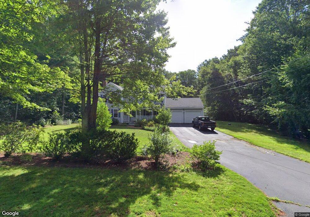
7 Westview Rd Brookline, NH 03033
Estimated Value: $703,000 - $773,887
About This Home
This home is located at 7 Westview Rd, Brookline, NH 03033 and is currently estimated at $740,722, approximately $259 per square foot. 7 Westview Rd is a home located in Hillsborough County with nearby schools including Richard Maghakian Memorial School, Captain Samuel Douglass Academy, and Hollis-Brookline Middle School.
Ownership History
We collect this data history from publicly available records. To have your information removed, we recommend requesting removal directly through your county’s website.
Purchase Details
Purchase Details
Home Financials for this Owner
Home Financials are based on the most recent Mortgage that was taken out on this home.Purchase Details
Home Financials for this Owner
Home Financials are based on the most recent Mortgage that was taken out on this home.Purchase Details
Home Values in the Area
Average Home Value in this Area
Purchase History
We collect this data history from publicly available records. To have your information removed, we recommend requesting removal directly through your county’s website.
| Date | Buyer | Sale Price | Title Company |
|---|---|---|---|
| -- | None Available | ||
| -- | None Available | ||
| $595,000 | None Available | ||
| $595,000 | None Available | ||
| $248,100 | -- | ||
| $279,200 | -- | ||
| $248,100 | -- | ||
| $279,200 | -- |
Mortgage History
We collect this data history from publicly available records. To have your information removed, we recommend requesting removal directly through your county’s website.
| Date | Status | Borrower | Loan Amount |
|---|---|---|---|
| Previous Owner | $600,000 | ||
| Previous Owner | $244,750 | ||
| Previous Owner | $264,000 |
Tax History
We collect this data history from publicly available records. To have your information removed, we recommend requesting removal directly through your county’s website.
| Year | Tax Paid | Tax Assessment Tax Assessment Total Assessment is a certain percentage of the fair market value that is determined by local assessors to be the total taxable value of land and additions on the property. | Land | Improvement |
|---|---|---|---|---|
| 2025 | $17,388 | $705,700 | $221,000 | $484,700 |
| 2024 | $15,854 | $701,200 | $221,000 | $480,200 |
| 2023 | $14,571 | $701,200 | $221,000 | $480,200 |
| 2022 | $11,939 | $401,700 | $133,100 | $268,600 |
| 2021 | $11,481 | $401,700 | $133,100 | $268,600 |
| 2020 | $11,167 | $401,700 | $133,100 | $268,600 |
| 2019 | $11,999 | $401,700 | $133,100 | $268,600 |
| 2018 | $10,941 | $401,700 | $133,100 | $268,600 |
| 2017 | $10,755 | $326,500 | $115,900 | $210,600 |
| 2016 | $10,631 | $326,500 | $115,900 | $210,600 |
| 2015 | $10,138 | $326,500 | $115,900 | $210,600 |
| 2014 | $10,726 | $326,500 | $115,900 | $210,600 |
| 2013 | $10,327 | $326,500 | $115,900 | $210,600 |
Map
- 5 Shady Rock Rd
- 6 Burge Dr
- 10 Mountain Rd
- 218 Hayden Rd
- 201 Route 13
- 250 Federal Hill Rd
- 12 N Mason Rd
- 2 Warren's Way
- 13 Hobart Hill Rd
- 21 N Mason Rd
- 30 Silver Hill Park
- 136 Annand Dr
- 120 Ruonala Rd
- 10 Sargent Rd
- 107 Fresh Pond Ln
- 62 Dupaw Gould Rd
- 112 Route 13 Unit A
- 53 Ruonala Rd
- 41 Dupaw Gould Rd
- 115 Silver Lake Rd
Ask me questions while you tour the home.