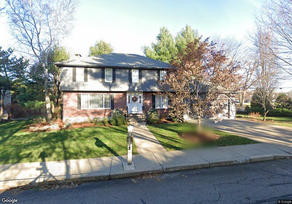
7 William St Needham Heights, MA 02494
Estimated Value: $1,568,000 - $1,907,000
4
Beds
4
Baths
1,440
Sq Ft
$1,195/Sq Ft
Est. Value
About This Home
This home is located at 7 William St, Needham Heights, MA 02494 and is currently estimated at $1,720,693, approximately $1,194 per square foot. 7 William St is a home located in Norfolk County with nearby schools including Eliot Elementary School, High Rock Middle School, and Pollard Middle School.
Create a Home Valuation Report for This Property
The Home Valuation Report is an in-depth analysis detailing your home's value as well as a comparison with similar homes in the area
Home Values in the Area
Average Home Value in this Area
Tax History
| Year | Tax Paid | Tax Assessment Tax Assessment Total Assessment is a certain percentage of the fair market value that is determined by local assessors to be the total taxable value of land and additions on the property. | Land | Improvement |
|---|---|---|---|---|
| 2025 | $16,048 | $1,514,000 | $748,300 | $765,700 |
| 2024 | $13,841 | $1,105,500 | $514,000 | $591,500 |
| 2023 | $13,871 | $1,063,700 | $514,000 | $549,700 |
| 2022 | $14,111 | $1,055,400 | $514,000 | $541,400 |
| 2021 | $13,644 | $1,047,100 | $514,000 | $533,100 |
| 2020 | $13,341 | $1,068,100 | $514,000 | $554,100 |
| 2019 | $12,604 | $1,017,300 | $467,500 | $549,800 |
| 2018 | $12,086 | $1,017,300 | $467,500 | $549,800 |
| 2017 | $10,671 | $897,500 | $467,500 | $430,000 |
| 2016 | $10,357 | $897,500 | $467,500 | $430,000 |
Source: Public Records
Map
Nearby Homes
- 140 Hillside Ave
- 140 Hillside Ave Unit a
- 132 Hillside Ave
- 134 Hillside Ave Unit 134
- 12 Hill St
- 62 Evelyn Rd
- 379 Hunnewell St Unit 379
- 345 Central Ave
- 48 Taylor St
- 5 Sachem Rd
- 100 Woodbine Cir
- 108 Woodbine Cir
- 212 Central Ave
- 3 Crescent Rd
- 385 Hillside Ave
- 385 Hillside Ave Unit 385
- 40 High St
- 7 West St
- 5 Hazel Ln
- 447 Hillside Ave
Your Personal Tour Guide
Ask me questions while you tour the home.