Estimated Value: $826,000 - $966,000
3
Beds
2
Baths
1,856
Sq Ft
$474/Sq Ft
Est. Value
About This Home
This home is located at 7 Wilson Ln, Acton, MA 01720 and is currently estimated at $879,263, approximately $473 per square foot. 7 Wilson Ln is a home located in Middlesex County with nearby schools including Acton-Boxborough Regional High School.
Ownership History
Date
Name
Owned For
Owner Type
Purchase Details
Closed on
Oct 28, 1994
Sold by
Quirk Peter D and Quirk Ellen B
Bought by
Powers Lawrence P and Powers Kimberly A
Current Estimated Value
Purchase Details
Closed on
May 20, 1991
Sold by
Morrill Edward L and Morrill Nellie T
Bought by
Quirk Peter D and Quirk Ellen B
Create a Home Valuation Report for This Property
The Home Valuation Report is an in-depth analysis detailing your home's value as well as a comparison with similar homes in the area
Home Values in the Area
Average Home Value in this Area
Purchase History
| Date | Buyer | Sale Price | Title Company |
|---|---|---|---|
| Powers Lawrence P | $258,075 | -- | |
| Quirk Peter D | $215,000 | -- |
Source: Public Records
Mortgage History
| Date | Status | Borrower | Loan Amount |
|---|---|---|---|
| Open | Quirk Peter D | $258,000 | |
| Closed | Quirk Peter D | $10,000 |
Source: Public Records
Tax History
| Year | Tax Paid | Tax Assessment Tax Assessment Total Assessment is a certain percentage of the fair market value that is determined by local assessors to be the total taxable value of land and additions on the property. | Land | Improvement |
|---|---|---|---|---|
| 2025 | $13,358 | $778,900 | $373,100 | $405,800 |
| 2024 | $12,681 | $760,700 | $373,100 | $387,600 |
| 2023 | $12,102 | $689,200 | $339,000 | $350,200 |
| 2022 | $12,063 | $620,200 | $294,800 | $325,400 |
| 2021 | $11,699 | $578,300 | $272,700 | $305,600 |
| 2020 | $10,963 | $569,800 | $272,700 | $297,100 |
| 2019 | $10,464 | $540,200 | $272,700 | $267,500 |
| 2018 | $9,721 | $501,600 | $272,700 | $228,900 |
| 2017 | $9,560 | $501,600 | $272,700 | $228,900 |
| 2016 | $9,100 | $473,200 | $272,700 | $200,500 |
| 2015 | $9,058 | $475,500 | $272,700 | $202,800 |
| 2014 | $9,075 | $466,600 | $272,700 | $193,900 |
Source: Public Records
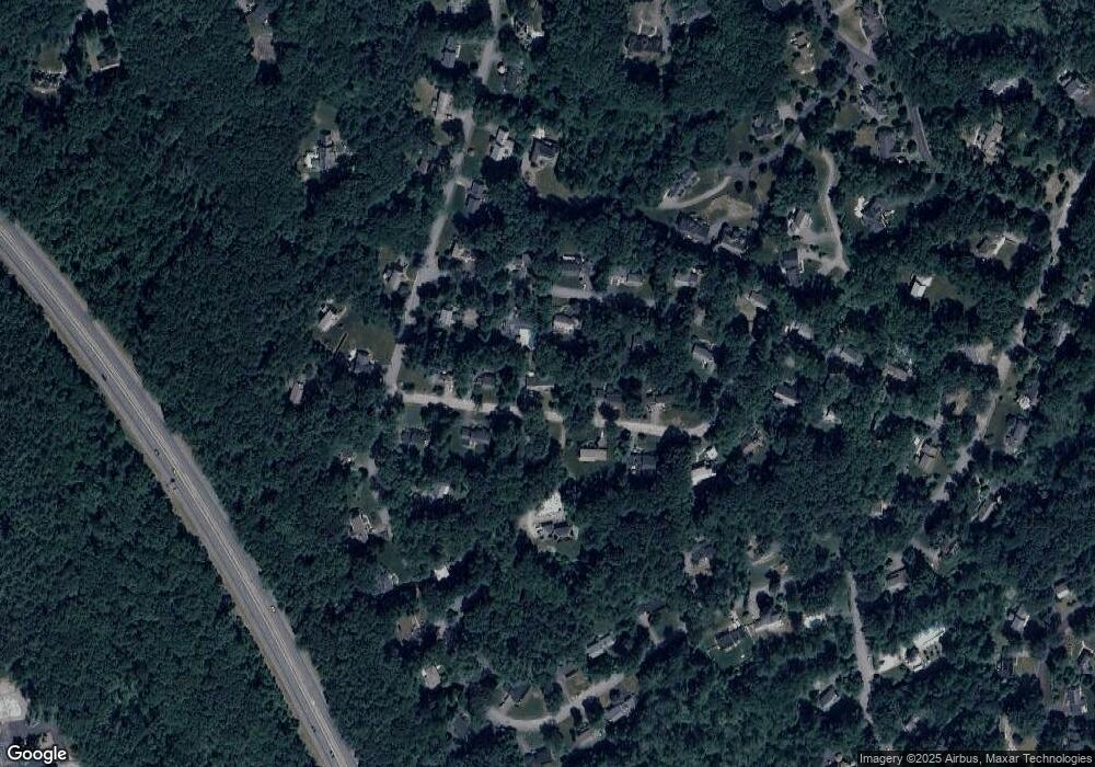
Map
Nearby Homes
- 79 Charter Rd
- 18 Hayward Rd
- 11 Braebrook
- 33 Meadowbrook Rd
- 46 Taylor Rd
- 491 Main St
- 246 Main St Unit 2
- 7 Kelley Rd
- 8 Algonquin Rd
- 524 Main St
- 60 Nashoba Rd
- 27 Forest Rd
- 709 Main St
- 5 Elm St Unit 1
- 285 Central St Unit 285
- 25 Nylander Way
- 187 Great Rd Unit A1
- 159 Skyline Dr Unit 159
- 129 Main St Unit 129
- 131 Main St
Your Personal Tour Guide
Ask me questions while you tour the home.