Estimated Value: $164,000 - $280,000
--
Bed
1
Bath
--
Sq Ft
3,049
Sq Ft Lot
About This Home
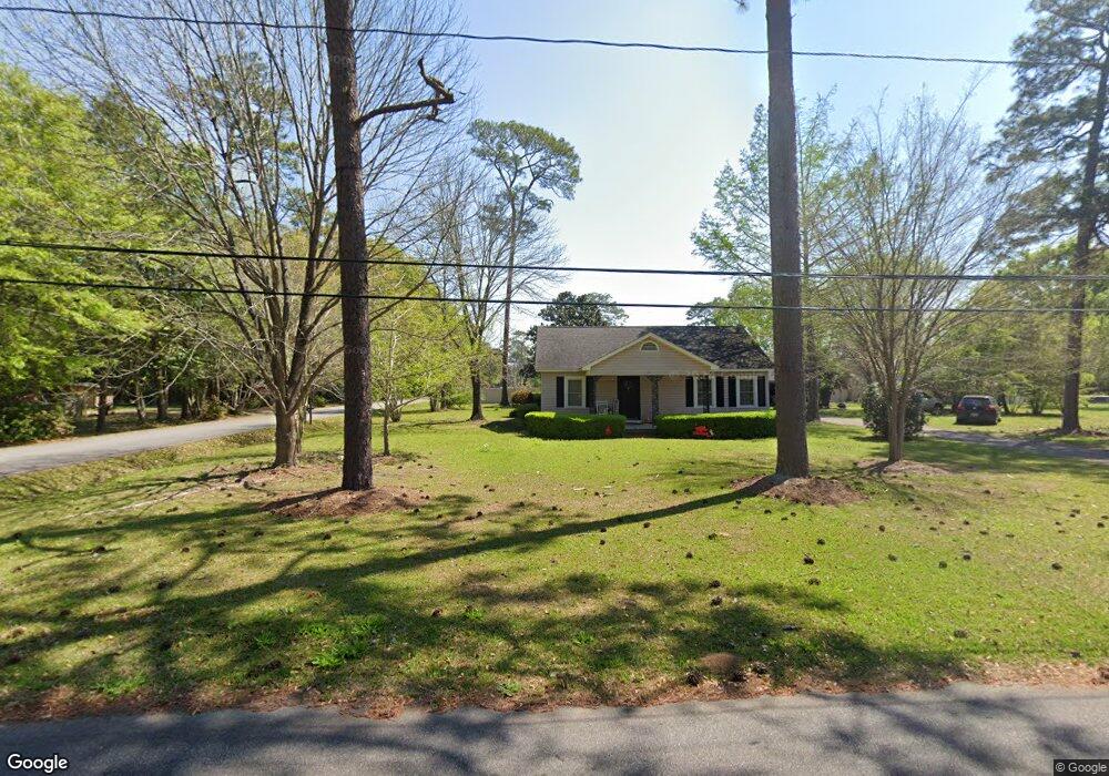
This home is located at 70 23rd St NE, Cairo, GA 39828 and is currently estimated at $203,333. 70 23rd St NE is a home located in Grady County with nearby schools including Cairo High School.
Ownership History
Date
Name
Owned For
Owner Type
Purchase Details
Closed on
Mar 22, 2018
Sold by
Faircloth Tommy M Estate
Bought by
Faircloth Elizabeth R
Current Estimated Value
Purchase Details
Closed on
Apr 10, 2008
Bought by
Lasac Inc
Purchase Details
Closed on
Jul 28, 2000
Sold by
Barrett Heath M
Bought by
Hardwick John
Purchase Details
Closed on
Jul 21, 1998
Sold by
Brandon Kenneth R
Bought by
Barrett Heath M
Purchase Details
Closed on
May 10, 1990
Bought by
Brandon Kenneth R
Create a Home Valuation Report for This Property
The Home Valuation Report is an in-depth analysis detailing your home's value as well as a comparison with similar homes in the area
Home Values in the Area
Average Home Value in this Area
Purchase History
| Date | Buyer | Sale Price | Title Company |
|---|---|---|---|
| Faircloth Elizabeth R | -- | -- | |
| Lasac Inc | $50,000 | -- | |
| Hardwick John | $79,400 | -- | |
| Barrett Heath M | $78,000 | -- | |
| Brandon Kenneth R | $64,500 | -- |
Source: Public Records
Tax History Compared to Growth
Tax History
| Year | Tax Paid | Tax Assessment Tax Assessment Total Assessment is a certain percentage of the fair market value that is determined by local assessors to be the total taxable value of land and additions on the property. | Land | Improvement |
|---|---|---|---|---|
| 2024 | $24 | $616 | $616 | $0 |
| 2023 | $15 | $400 | $400 | $0 |
| 2022 | $15 | $400 | $400 | $0 |
| 2021 | $15 | $400 | $400 | $0 |
| 2020 | $15 | $400 | $400 | $0 |
| 2019 | $15 | $400 | $400 | $0 |
| 2018 | $15 | $400 | $400 | $0 |
| 2017 | $14 | $400 | $400 | $0 |
| 2016 | $14 | $400 | $400 | $0 |
| 2015 | $14 | $400 | $400 | $0 |
| 2014 | $14 | $400 | $400 | $0 |
| 2013 | -- | $39,600 | $6,120 | $33,480 |
Source: Public Records
Map
Nearby Homes
- 66 22nd St NE
- 21 24th St NE
- 2600 U S 84
- 78.6 Ac Strickland Rd
- 0 20th St NE
- 00 20th St NE
- 0 NE Airport Rd Unit 145784
- 00 NW 9th Ave
- 711 2nd Ave NE
- 225 Helton Ln
- 236 Helton Ln
- 3109 U S 84
- 3109 U S 84
- 530 6th Ave SE
- 530 6th St
- 471 4th St SE
- 481 4th St SE
- 00 State Route 188
- 0 State Route 188
- 602 4th St SE
- 74 23rd St NE
- 71 23rd St NE
- 75 24th St NE
- 64 23rd St NE
- 76 23rd St NE
- 60 23rd St NE
- 61 24th St NE
- 65 23rd St NE
- 2306 Us Highway 84 E
- 63 24th St NE
- 2215 Pineacre Dr NE
- 2210 U S 84
- 2300 E 84 Hwy
- 2300 Us Highway 84 E
- 64 24th St NE
- 2210 Us Highway 84 E
- 2210 E 84 Hwy
- 2210 Pineacre Dr NE
- 62 24th St NE
- 2205 Pineacre Dr NE