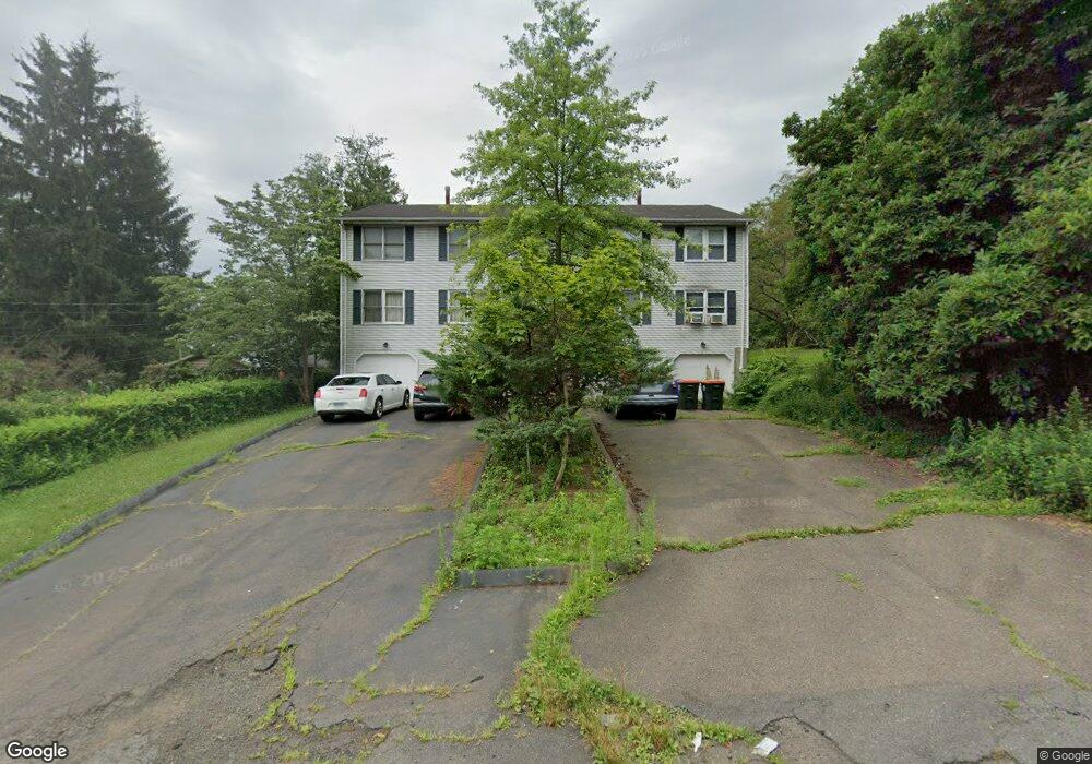
70 Andrews St Unit 3 Meriden, CT 06451
Estimated Value: $104,000 - $177,000
2
Beds
1
Bath
828
Sq Ft
$171/Sq Ft
Est. Value
About This Home
This home is located at 70 Andrews St Unit 3, Meriden, CT 06451 and is currently estimated at $141,831, approximately $171 per square foot. 70 Andrews St Unit 3 is a home located in New Haven County with nearby schools including Benjamin Franklin School, Lincoln Middle School, and Orville H. Platt High School.
Ownership History
Date
Name
Owned For
Owner Type
Purchase Details
Closed on
Nov 2, 2020
Sold by
Plonka Richard J and Hoffman Christine
Bought by
Piekarski Zdzislaw and Kowal Christine
Current Estimated Value
Purchase Details
Closed on
Aug 29, 1996
Sold by
Dime Savings Bank Ny
Bought by
Plonka Richard J
Purchase Details
Closed on
Oct 24, 1988
Sold by
Soto Gregory M
Bought by
Formica Ann
Purchase Details
Closed on
Aug 21, 1987
Sold by
William Meyers and William So
Bought by
Soto Gregory M
Home Financials for this Owner
Home Financials are based on the most recent Mortgage that was taken out on this home.
Original Mortgage
$75,500
Interest Rate
10.29%
Mortgage Type
Purchase Money Mortgage
Create a Home Valuation Report for This Property
The Home Valuation Report is an in-depth analysis detailing your home's value as well as a comparison with similar homes in the area
Home Values in the Area
Average Home Value in this Area
Purchase History
| Date | Buyer | Sale Price | Title Company |
|---|---|---|---|
| Piekarski Zdzislaw | $60,000 | None Available | |
| Piekarski Zdzislaw | $60,000 | None Available | |
| Plonka Richard J | $25,000 | -- | |
| Plonka Richard J | $25,000 | -- | |
| Formica Ann | $95,900 | -- | |
| Soto Gregory M | $83,900 | -- |
Source: Public Records
Mortgage History
| Date | Status | Borrower | Loan Amount |
|---|---|---|---|
| Previous Owner | Soto Gregory M | $8,000 | |
| Previous Owner | Soto Gregory M | $75,500 |
Source: Public Records
Tax History Compared to Growth
Tax History
| Year | Tax Paid | Tax Assessment Tax Assessment Total Assessment is a certain percentage of the fair market value that is determined by local assessors to be the total taxable value of land and additions on the property. | Land | Improvement |
|---|---|---|---|---|
| 2025 | $1,523 | $40,180 | $0 | $40,180 |
| 2024 | $1,547 | $40,180 | $0 | $40,180 |
| 2023 | $1,491 | $40,180 | $0 | $40,180 |
| 2022 | $1,407 | $40,180 | $0 | $40,180 |
| 2021 | $2,462 | $56,560 | $0 | $56,560 |
| 2020 | $2,455 | $56,560 | $0 | $56,560 |
| 2019 | $2,434 | $56,560 | $0 | $56,560 |
| 2018 | $2,444 | $56,560 | $0 | $56,560 |
| 2017 | $2,379 | $56,560 | $0 | $56,560 |
| 2016 | $2,453 | $63,280 | $0 | $63,280 |
| 2015 | $2,453 | $63,280 | $0 | $63,280 |
| 2014 | -- | $63,280 | $0 | $63,280 |
Source: Public Records
Map
Nearby Homes
- 70 Andrews St Unit 4
- 70 Andrews St Unit 2
- 70 Andrews St Unit 1
- 70 Andrews St Unit D
- 70 Andrews St Unit C
- 54 Andrews St
- 90 Andrews St
- 52 Andrews St
- 73 Andrews St
- 271 Springdale Ave
- 321 Springdale Ave
- 83 Andrews St
- 50 Andrews St
- 51 Andrews St
- 257 Springdale Ave
- 49 Andrews St
- 253 Springdale Ave
- 47 Andrews St
- 42 Andrews St
- 247 Springdale Ave