70 Apple Ln Cincinnati, OH 45255
Estimated Value: $161,000 - $176,000
2
Beds
3
Baths
1,190
Sq Ft
$142/Sq Ft
Est. Value
About This Home
This home is located at 70 Apple Ln, Cincinnati, OH 45255 and is currently estimated at $169,235, approximately $142 per square foot. 70 Apple Ln is a home located in Clermont County with nearby schools including Withamsville-Tobasco Elementary School, West Clermont Middle School, and West Clermont High School.
Ownership History
Date
Name
Owned For
Owner Type
Purchase Details
Closed on
Mar 12, 2025
Sold by
Amangeo Holdings I Llc
Bought by
Jornic Llc
Current Estimated Value
Home Financials for this Owner
Home Financials are based on the most recent Mortgage that was taken out on this home.
Original Mortgage
$2,574,000
Outstanding Balance
$2,561,029
Interest Rate
6.95%
Mortgage Type
Credit Line Revolving
Estimated Equity
-$2,391,794
Purchase Details
Closed on
Apr 30, 2020
Sold by
Kilday Gary R
Bought by
Amangeo Holdings I Llc
Home Financials for this Owner
Home Financials are based on the most recent Mortgage that was taken out on this home.
Original Mortgage
$955,000
Interest Rate
3.3%
Mortgage Type
Future Advance Clause Open End Mortgage
Create a Home Valuation Report for This Property
The Home Valuation Report is an in-depth analysis detailing your home's value as well as a comparison with similar homes in the area
Home Values in the Area
Average Home Value in this Area
Purchase History
| Date | Buyer | Sale Price | Title Company |
|---|---|---|---|
| Jornic Llc | -- | None Listed On Document | |
| Jornic Llc | -- | None Listed On Document | |
| Amangeo Holdings I Llc | $1,450,000 | None Available |
Source: Public Records
Mortgage History
| Date | Status | Borrower | Loan Amount |
|---|---|---|---|
| Open | Jornic Llc | $2,574,000 | |
| Closed | Jornic Llc | $2,574,000 | |
| Previous Owner | Amangeo Holdings I Llc | $955,000 |
Source: Public Records
Tax History Compared to Growth
Tax History
| Year | Tax Paid | Tax Assessment Tax Assessment Total Assessment is a certain percentage of the fair market value that is determined by local assessors to be the total taxable value of land and additions on the property. | Land | Improvement |
|---|---|---|---|---|
| 2024 | $2,092 | $40,530 | $6,790 | $33,740 |
| 2023 | $2,095 | $40,530 | $6,790 | $33,740 |
| 2022 | $1,617 | $27,130 | $4,550 | $22,580 |
| 2021 | $1,623 | $27,130 | $4,550 | $22,580 |
| 2020 | $1,625 | $27,130 | $4,550 | $22,580 |
| 2019 | $915 | $17,780 | $3,150 | $14,630 |
| 2018 | $924 | $17,780 | $3,150 | $14,630 |
| 2017 | $937 | $17,780 | $3,150 | $14,630 |
| 2016 | $943 | $16,420 | $2,800 | $13,620 |
| 2015 | $916 | $16,420 | $2,800 | $13,620 |
| 2014 | $916 | $16,420 | $2,800 | $13,620 |
| 2013 | $926 | $16,420 | $2,800 | $13,620 |
Source: Public Records
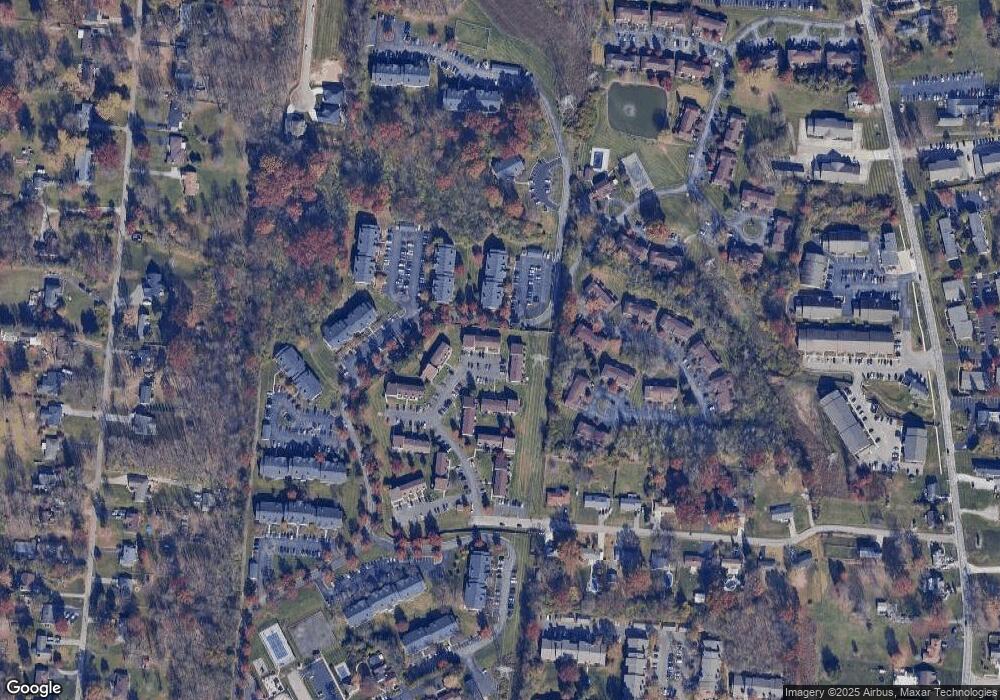
Map
Nearby Homes
- 457 Courtland Place Unit 28D
- 439 Mcintosh Dr
- 498 Sanctuary Way
- 496 Sanctuary Way
- 494 Sanctuary Way
- 492 Sanctuary Way
- 490 Sanctuary Way
- 488 Sanctuary Way
- 486 Sanctuary Way
- 477 Sanctuary Way
- 477 Sanctuary Way Unit 23
- 482 Sanctuary Way
- 475 Sanctuary Way
- 493 Mcintosh Dr
- 473 Sanctuary Way
- 471 Sanctuary Way
- 4077 Mclean Dr
- 4182 Mount Carmel Tobasco Rd
- 4172 Brandonmore Dr
- 1629 Muskegon Dr