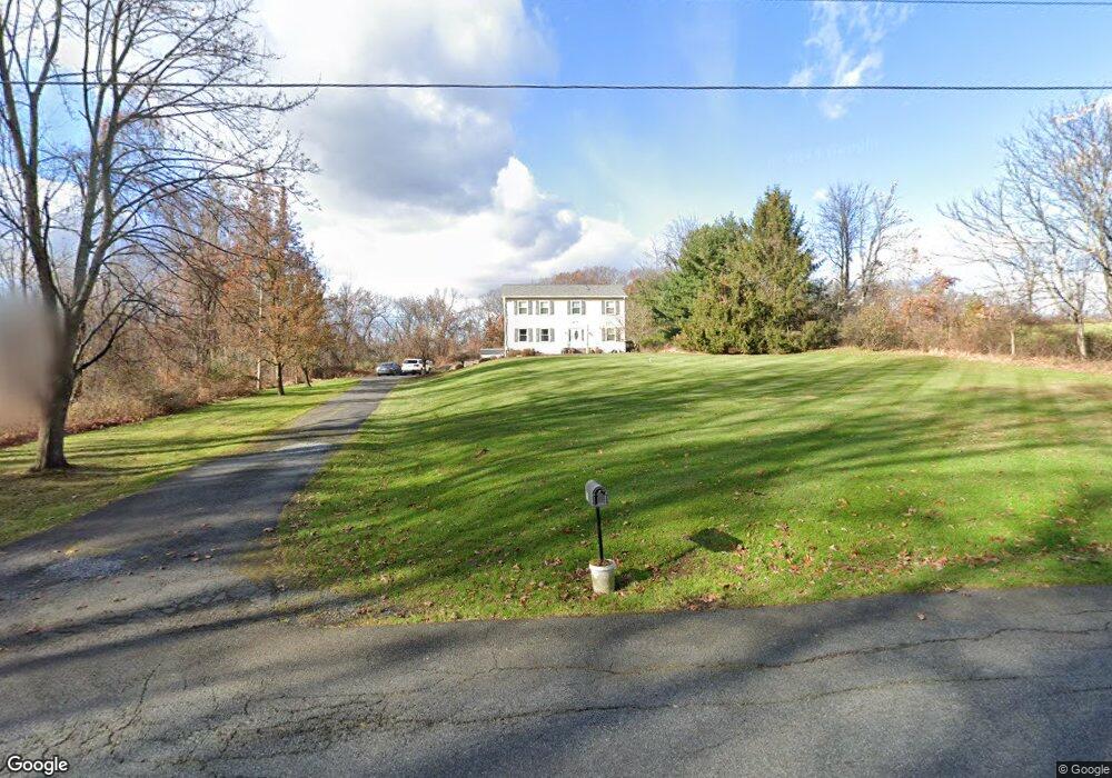
70 Auble Rd Blairstown, NJ 07825
Estimated Value: $450,643 - $607,000
--
Bed
1
Bath
2,240
Sq Ft
$236/Sq Ft
Est. Value
About This Home
This home is located at 70 Auble Rd, Blairstown, NJ 07825 and is currently estimated at $528,911, approximately $236 per square foot. 70 Auble Rd is a home located in Warren County with nearby schools including Knowlton Township Elementary School and North Warren Regional School.
Ownership History
Date
Name
Owned For
Owner Type
Purchase Details
Closed on
Nov 25, 2013
Sold by
Koehler Donna M and Bauer Donna M
Bought by
Bauer Donna M
Current Estimated Value
Home Financials for this Owner
Home Financials are based on the most recent Mortgage that was taken out on this home.
Original Mortgage
$147,000
Interest Rate
3.28%
Mortgage Type
New Conventional
Create a Home Valuation Report for This Property
The Home Valuation Report is an in-depth analysis detailing your home's value as well as a comparison with similar homes in the area
Home Values in the Area
Average Home Value in this Area
Purchase History
| Date | Buyer | Sale Price | Title Company |
|---|---|---|---|
| Bauer Donna M | -- | Gateway Title Agency Llc |
Source: Public Records
Mortgage History
| Date | Status | Borrower | Loan Amount |
|---|---|---|---|
| Closed | Bauer Donna M | $147,000 |
Source: Public Records
Tax History Compared to Growth
Tax History
| Year | Tax Paid | Tax Assessment Tax Assessment Total Assessment is a certain percentage of the fair market value that is determined by local assessors to be the total taxable value of land and additions on the property. | Land | Improvement |
|---|---|---|---|---|
| 2025 | $8,872 | $222,800 | $55,200 | $167,600 |
| 2024 | $8,683 | $222,800 | $55,200 | $167,600 |
| 2023 | $8,424 | $222,800 | $55,200 | $167,600 |
| 2022 | $8,424 | $222,800 | $55,200 | $167,600 |
| 2021 | $7,733 | $222,800 | $55,200 | $167,600 |
| 2020 | $8,019 | $222,800 | $55,200 | $167,600 |
| 2019 | $7,691 | $222,800 | $55,200 | $167,600 |
| 2018 | $7,691 | $222,800 | $55,200 | $167,600 |
| 2017 | $7,609 | $222,800 | $55,200 | $167,600 |
| 2016 | $7,444 | $222,800 | $55,200 | $167,600 |
| 2015 | $7,355 | $222,800 | $55,200 | $167,600 |
| 2014 | $7,103 | $222,800 | $55,200 | $167,600 |
Source: Public Records
Map
Nearby Homes