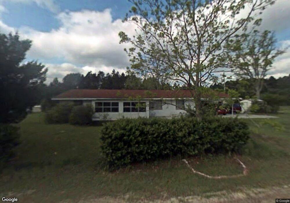
70 Bethlehem Rd Nahunta, GA 31553
Estimated Value: $206,247 - $363,000
Studio
2
Baths
1,998
Sq Ft
$141/Sq Ft
Est. Value
About This Home
This home is located at 70 Bethlehem Rd, Nahunta, GA 31553 and is currently estimated at $281,416, approximately $140 per square foot. 70 Bethlehem Rd is a home located in Brantley County with nearby schools including Nahunta Primary School, Nahunta Elementary School, and Brantley County Middle School.
Ownership History
Date
Name
Owned For
Owner Type
Purchase Details
Closed on
Dec 12, 2011
Sold by
Keen Jackie Lee and Keen Evelyn Sabra Lee
Bought by
Keen Jackie Lee
Current Estimated Value
Purchase Details
Closed on
Jun 18, 2008
Sold by
Keen Evelyn Sabra Lee
Bought by
Keen Darl Michael
Purchase Details
Closed on
Dec 9, 2005
Sold by
Keen Colonel Brantley
Bought by
Keen Evelyn Lee
Create a Home Valuation Report for This Property
The Home Valuation Report is an in-depth analysis detailing your home's value as well as a comparison with similar homes in the area
Purchase History
| Date | Buyer | Sale Price | Title Company |
|---|---|---|---|
| Keen Jackie Lee | -- | -- | |
| Keen Darl Michael | -- | -- | |
| Oglesby Ocie Sandra Keen | -- | -- | |
| Keen Evelyn Lee | -- | -- |
Source: Public Records
Tax History
| Year | Tax Paid | Tax Assessment Tax Assessment Total Assessment is a certain percentage of the fair market value that is determined by local assessors to be the total taxable value of land and additions on the property. | Land | Improvement |
|---|---|---|---|---|
| 2025 | $1,384 | $52,459 | $8,043 | $44,416 |
| 2024 | $1,465 | $47,080 | $5,058 | $42,022 |
| 2023 | $946 | $46,621 | $4,599 | $42,022 |
| 2022 | $1,440 | $45,621 | $4,599 | $41,022 |
| 2021 | $1,379 | $36,949 | $4,599 | $32,350 |
| 2020 | $1,417 | $36,949 | $4,599 | $32,350 |
| 2019 | $1,415 | $36,949 | $4,599 | $32,350 |
| 2018 | $1,331 | $39,149 | $6,799 | $32,350 |
| 2017 | $1,331 | $39,149 | $6,799 | $32,350 |
| 2016 | $1,533 | $39,149 | $6,799 | $32,350 |
| 2015 | -- | $39,148 | $6,799 | $32,350 |
Source: Public Records
Map
Nearby Homes
- 169 Johns Way
- 2795 Highway 301 S
- 0 Sylvester Dr Unit 10674962
- 0 Sylvester Dr Unit 164381
- 0 Sylvester Dr Unit SA346840
- 7126 U S 301
- 91 Cane Cir
- 193 Blackberry Rd
- 00 Robin Ln
- 0 Stephen Park Rd Unit 10665137
- 0 Stephen Park Rd Unit 1658601
- 537 Seward Trail
- 4561 Buffalo Creek Dr
- 279 Outback Loop
- 92 Ervin St
- 0 Winokur Rock Rd Unit 1643990
- 154 Avalon St
- 20.55 ACRES Highway 82
- 440 Brantley St
- 109 Rainge St
- 3774 Highway 301 S
- 82 Lee Cir
- 225 Vernon Rd
- 0 Lee Cir Johns Way Unit 1612519
- 0 Lee Cir Johns Way Unit 1617240
- 3568 Highway 301 S
- 3787 Taylor Bay
- 4267 Highway 301 S
- 86 Johns Way
- 521 Bethlehem Rd
- 347 Lee Cir
- 1407 Vernon Rd
- 4685 Bachlott Church Rd
- 61 Terry Thomas Rd
- 0 Bachlott Church Rd Unit 25773424
- 0 Bachlott Church Rd Unit 25373232
- 4813 Bachlott Church Rd
- 3531 Taylor Bay
- 3229 Highway 301 S
- 5251 Bachlott Church Rd
Your Personal Tour Guide
Ask me questions while you tour the home.