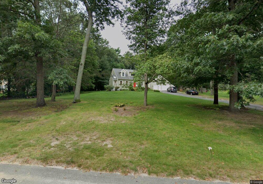
70 Birchbark Dr Hanson, MA 02341
Estimated Value: $714,000 - $936,000
3
Beds
3
Baths
1,886
Sq Ft
$433/Sq Ft
Est. Value
About This Home
This home is located at 70 Birchbark Dr, Hanson, MA 02341 and is currently estimated at $816,630, approximately $432 per square foot. 70 Birchbark Dr is a home located in Plymouth County with nearby schools including St Bridget School.
Ownership History
Date
Name
Owned For
Owner Type
Purchase Details
Closed on
May 29, 1997
Sold by
Saccone Vincent J and Saccone Gail H
Bought by
Mccarthy Robert P and Mccarthy Kathy L
Current Estimated Value
Purchase Details
Closed on
Jun 28, 1996
Sold by
Page John and Page Jean M
Bought by
Saccone Vincent J and Saccone Gail H
Create a Home Valuation Report for This Property
The Home Valuation Report is an in-depth analysis detailing your home's value as well as a comparison with similar homes in the area
Home Values in the Area
Average Home Value in this Area
Purchase History
| Date | Buyer | Sale Price | Title Company |
|---|---|---|---|
| Mccarthy Robert P | $225,500 | -- | |
| Saccone Vincent J | $217,000 | -- |
Source: Public Records
Mortgage History
| Date | Status | Borrower | Loan Amount |
|---|---|---|---|
| Open | Saccone Vincent J | $211,400 | |
| Closed | Saccone Vincent J | $275,000 | |
| Closed | Saccone Vincent J | $50,000 |
Source: Public Records
Tax History
| Year | Tax Paid | Tax Assessment Tax Assessment Total Assessment is a certain percentage of the fair market value that is determined by local assessors to be the total taxable value of land and additions on the property. | Land | Improvement |
|---|---|---|---|---|
| 2025 | $10,677 | $798,000 | $196,000 | $602,000 |
| 2024 | $10,469 | $782,400 | $190,300 | $592,100 |
| 2023 | $9,482 | $668,700 | $190,300 | $478,400 |
| 2022 | $9,181 | $608,400 | $173,000 | $435,400 |
| 2021 | $8,361 | $553,700 | $166,400 | $387,300 |
| 2020 | $8,247 | $540,100 | $160,700 | $379,400 |
| 2019 | $7,819 | $503,500 | $157,600 | $345,900 |
| 2018 | $7,739 | $488,900 | $151,600 | $337,300 |
| 2017 | $7,511 | $470,000 | $144,300 | $325,700 |
| 2016 | $7,613 | $460,000 | $144,300 | $315,700 |
| 2015 | $7,197 | $452,100 | $144,300 | $307,800 |
Source: Public Records
Map
Nearby Homes
- 23 Live Oak Way
- 10 Proud Foot Way
- 22 Howland Trail Unit 34
- 7 Hayford Trail Unit 12
- 5 Hayford Trail Unit 11
- 724 Whitman St
- 17 Hayford Trail Unit 12
- 214 Winter St
- Lot 5 Princeton Way
- 84 Liberty St
- 10 Birch Bottom Cir
- 61 Sawmill Ln
- 61 Sawmill Ln Unit 61
- 361A County Rd
- 361 County Rd
- 170 Pleasant St
- 26 Stonebridge Dr
- 139 Fairwood Dr
- 289 Commercial St
- 126-130 Franklin St
- 480 Birchbark Dr
- 86 Birchbark Dr
- 83 Birchbark Dr
- 104 Birchbark Dr
- 65 Birchbark Dr
- 97 Birchbark Dr
- 451 Birchbark Dr
- 444 Birchbark Dr
- 111 Birchbark Dr
- 47 Birchbark Dr
- 14 Live Oak Way
- 120 Birchbark Dr
- 344 Birchbark Dr
- 26 Birchbark Dr
- 366 Birchbark Dr
- 31 Birchbark Dr
- 94 Forest Trail
- 400 Birchbark Dr
- 104 Forest Trail
- 127 Birchbark Dr
Your Personal Tour Guide
Ask me questions while you tour the home.