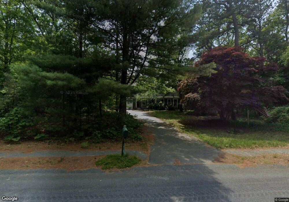
70 Bournehurst Dr Plymouth, MA 02360
Estimated Value: $567,000 - $636,000
3
Beds
2
Baths
1,900
Sq Ft
$322/Sq Ft
Est. Value
About This Home
This home is located at 70 Bournehurst Dr, Plymouth, MA 02360 and is currently estimated at $612,065, approximately $322 per square foot. 70 Bournehurst Dr is a home located in Plymouth County with nearby schools including South Elementary School, Plymouth South Middle School, and Plymouth South High School.
Ownership History
Date
Name
Owned For
Owner Type
Purchase Details
Closed on
Jan 25, 2002
Sold by
Jansen Christine L
Bought by
Fernandes Debra L
Current Estimated Value
Home Financials for this Owner
Home Financials are based on the most recent Mortgage that was taken out on this home.
Original Mortgage
$220,000
Interest Rate
7.08%
Mortgage Type
Purchase Money Mortgage
Purchase Details
Closed on
Jun 30, 1989
Sold by
Atlantic West Prop
Bought by
Jansen Jeffrey E
Home Financials for this Owner
Home Financials are based on the most recent Mortgage that was taken out on this home.
Original Mortgage
$125,500
Interest Rate
10.56%
Mortgage Type
Purchase Money Mortgage
Create a Home Valuation Report for This Property
The Home Valuation Report is an in-depth analysis detailing your home's value as well as a comparison with similar homes in the area
Home Values in the Area
Average Home Value in this Area
Purchase History
| Date | Buyer | Sale Price | Title Company |
|---|---|---|---|
| Fernandes Debra L | $279,900 | -- | |
| Jansen Jeffrey E | $139,590 | -- |
Source: Public Records
Mortgage History
| Date | Status | Borrower | Loan Amount |
|---|---|---|---|
| Open | Jansen Jeffrey E | $160,000 | |
| Closed | Jansen Jeffrey E | $220,000 | |
| Previous Owner | Jansen Jeffrey E | $125,500 |
Source: Public Records
Tax History Compared to Growth
Tax History
| Year | Tax Paid | Tax Assessment Tax Assessment Total Assessment is a certain percentage of the fair market value that is determined by local assessors to be the total taxable value of land and additions on the property. | Land | Improvement |
|---|---|---|---|---|
| 2025 | $6,275 | $494,500 | $202,200 | $292,300 |
| 2024 | $6,000 | $466,200 | $198,200 | $268,000 |
| 2023 | $5,850 | $426,700 | $174,200 | $252,500 |
| 2022 | $5,300 | $343,500 | $158,400 | $185,100 |
| 2021 | $5,183 | $320,700 | $158,400 | $162,300 |
| 2020 | $5,154 | $315,200 | $154,400 | $160,800 |
| 2019 | $4,972 | $300,600 | $138,400 | $162,200 |
| 2018 | $4,782 | $290,500 | $128,400 | $162,100 |
| 2017 | $4,596 | $277,200 | $128,400 | $148,800 |
| 2016 | $4,368 | $268,500 | $118,400 | $150,100 |
| 2015 | $4,193 | $269,800 | $118,400 | $151,400 |
| 2014 | $3,973 | $262,600 | $118,400 | $144,200 |
Source: Public Records
Map
Nearby Homes
- 8 Cabot Cir
- 756 Bourne Rd
- 810 Head of The Bay Rd
- 32 Rickey Ln
- 47 Lake Dr
- 13 Hideaway Village Unit G
- 9 Hideaway Rd Unit F
- 110 Packard St
- 11 Thompson Rd Unit A
- 27 Baker Ln Unit 27
- 119 Lake Ave
- 167 Park Ave
- 901 Head of The Bay Rd
- 23 Pine Ridge Rd
- 19 Milford St
- 14 Buttonwood Ln
- 32 Lake View Blvd
- 73 Lewis Point Rd
- 15 Downey St
- 47 Mayflower Way
- 78 Bournehurst Dr
- 58 Bournehurst Dr
- 63 Bournehurst Dr
- 63 Bourne Hurst Dr
- 86 Bournehurst Dr
- 73 Bournehurst Dr
- 87 Bournehurst Dr
- 16 Cabot Cir
- 98 Bournehurst Dr
- 237 Bournehurst Dr
- 99 Bournehurst Dr
- 229 Bournehurst Dr
- 221 Bournehurst Dr
- 11 Cabot Cir
- 104 Bournehurst Dr
- 211 Bournehurst Dr
- 203 Bournehurst Dr
- 21 Cabot Cir
- 107 Bournehurst Dr
- 195 Bournehurst Dr