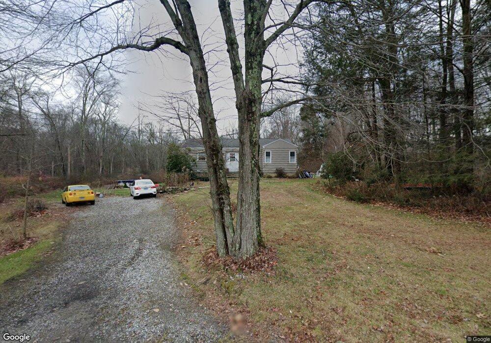
70 Brewster St Coventry, CT 06238
Estimated Value: $307,000 - $419,000
2
Beds
2
Baths
974
Sq Ft
$357/Sq Ft
Est. Value
About This Home
This home is located at 70 Brewster St, Coventry, CT 06238 and is currently estimated at $347,283, approximately $356 per square foot. 70 Brewster St is a home located in Tolland County with nearby schools including Coventry Grammar School, George Hersey Robertson School, and Capt. Nathan Hale School.
Ownership History
Date
Name
Owned For
Owner Type
Purchase Details
Closed on
Aug 15, 2025
Sold by
Llanera Tracy A and Smith Nicholas
Bought by
Ruback Alexander G and Delfa Lindsay H
Current Estimated Value
Purchase Details
Closed on
Mar 11, 2024
Sold by
Edmondson Paul R and Edmondson Peter J
Bought by
Jensen Richard B and Jensen Maria D
Create a Home Valuation Report for This Property
The Home Valuation Report is an in-depth analysis detailing your home's value as well as a comparison with similar homes in the area
Home Values in the Area
Average Home Value in this Area
Purchase History
| Date | Buyer | Sale Price | Title Company |
|---|---|---|---|
| Ruback Alexander G | -- | -- | |
| Jensen Richard B | -- | None Available | |
| Jensen Richard B | -- | None Available | |
| Jensen Richard B | -- | None Available |
Source: Public Records
Tax History Compared to Growth
Tax History
| Year | Tax Paid | Tax Assessment Tax Assessment Total Assessment is a certain percentage of the fair market value that is determined by local assessors to be the total taxable value of land and additions on the property. | Land | Improvement |
|---|---|---|---|---|
| 2025 | $4,369 | $183,900 | $66,600 | $117,300 |
| 2024 | $4,050 | $121,600 | $55,200 | $66,400 |
| 2023 | $3,860 | $121,600 | $55,200 | $66,400 |
| 2022 | $3,788 | $121,600 | $55,200 | $66,400 |
| 2021 | $3,788 | $121,600 | $55,200 | $66,400 |
| 2020 | $3,790 | $121,600 | $55,200 | $66,400 |
| 2019 | $3,916 | $121,600 | $55,200 | $66,400 |
| 2018 | $3,745 | $116,300 | $55,200 | $61,100 |
| 2017 | $3,722 | $116,300 | $55,200 | $61,100 |
| 2016 | $3,629 | $116,300 | $55,200 | $61,100 |
| 2015 | $3,629 | $116,300 | $55,200 | $61,100 |
| 2014 | $3,772 | $132,500 | $67,500 | $65,000 |
Source: Public Records
Map
Nearby Homes
- 125 Brewster St
- 0 Boston Turnpike Unit 24128587
- 1230 Boston Turnpike
- 30 Tolland Rd
- 54 Wolf Hill Rd Unit TBB
- 10 Lakeside Ln
- 54 Wolf Hill (Lot#49) Rd
- 37 Wolf Hill Rd Unit Lot 40
- 37 Wolf Hill Lot (#40) Rd
- 395 Grant Hill (Mill Race Drive) Lot #21 Rd
- 395 Grant Hill Rd Unit Lot21
- 3224 South St
- 0 Rr 6 Route Unit 24064143
- 676 Bolton Rd
- 34 Hanover Farms Rd
- 101 Dockerel Rd
- 16 Pine Ridge Dr
- 0 Skinner Hill Rd Unit 24077239
- 80 Mount Sumner Dr
- 93 Dockerel Rd
- 57 Brewster St
- 35 Brewster St
- 107 Brewster St
- 11 Brewster St
- 2475 Boston Turnpike
- 2459 Boston Turnpike
- 2467 Boston Turnpike
- 0 Brewster St
- 143 Brewster St
- 150 Brewster St
- 2449 Boston Turnpike
- 2534 Boston Turnpike
- 2542 Boston Turnpike
- 2516 Boston Turnpike
- 2560 Boston Turnpike
- 2409 Boston Turnpike
- 170 Brewster St
- 2508 Boston Turnpike
- 161 Brewster St
- 2441 Boston Turnpike