70 Campground Rd West Boylston, MA 01583
Estimated Value: $912,000 - $1,275,000
4
Beds
3
Baths
3,898
Sq Ft
$267/Sq Ft
Est. Value
About This Home
This home is located at 70 Campground Rd, West Boylston, MA 01583 and is currently estimated at $1,039,549, approximately $266 per square foot. 70 Campground Rd is a home located in Worcester County with nearby schools including Major Edwards Elementary School and West Boylston Junior/Senior High School.
Ownership History
Date
Name
Owned For
Owner Type
Purchase Details
Closed on
Aug 25, 2000
Sold by
Tousignant Ronald A and Tousignant Leann M
Bought by
Sontag Andrew J and Sontag Tina M
Current Estimated Value
Create a Home Valuation Report for This Property
The Home Valuation Report is an in-depth analysis detailing your home's value as well as a comparison with similar homes in the area
Home Values in the Area
Average Home Value in this Area
Purchase History
| Date | Buyer | Sale Price | Title Company |
|---|---|---|---|
| Sontag Andrew J | $395,000 | -- |
Source: Public Records
Mortgage History
| Date | Status | Borrower | Loan Amount |
|---|---|---|---|
| Open | Sontag Andrew J | $249,700 | |
| Closed | Sontag Andrew J | $250,000 | |
| Closed | Sontag Andrew J | $220,000 |
Source: Public Records
Tax History Compared to Growth
Tax History
| Year | Tax Paid | Tax Assessment Tax Assessment Total Assessment is a certain percentage of the fair market value that is determined by local assessors to be the total taxable value of land and additions on the property. | Land | Improvement |
|---|---|---|---|---|
| 2025 | $131 | $944,100 | $132,400 | $811,700 |
| 2024 | $12,400 | $839,000 | $134,400 | $704,600 |
| 2023 | $11,833 | $759,500 | $132,400 | $627,100 |
| 2022 | $11,087 | $627,100 | $132,400 | $494,700 |
| 2021 | $483 | $586,700 | $112,000 | $474,700 |
| 2020 | $10,031 | $539,900 | $112,000 | $427,900 |
| 2019 | $5,404 | $519,400 | $112,000 | $407,400 |
| 2018 | $592 | $494,800 | $112,000 | $382,800 |
| 2017 | $5,187 | $486,600 | $112,000 | $374,600 |
| 2016 | $9,085 | $492,400 | $105,400 | $387,000 |
| 2015 | $8,904 | $485,500 | $104,600 | $380,900 |
Source: Public Records
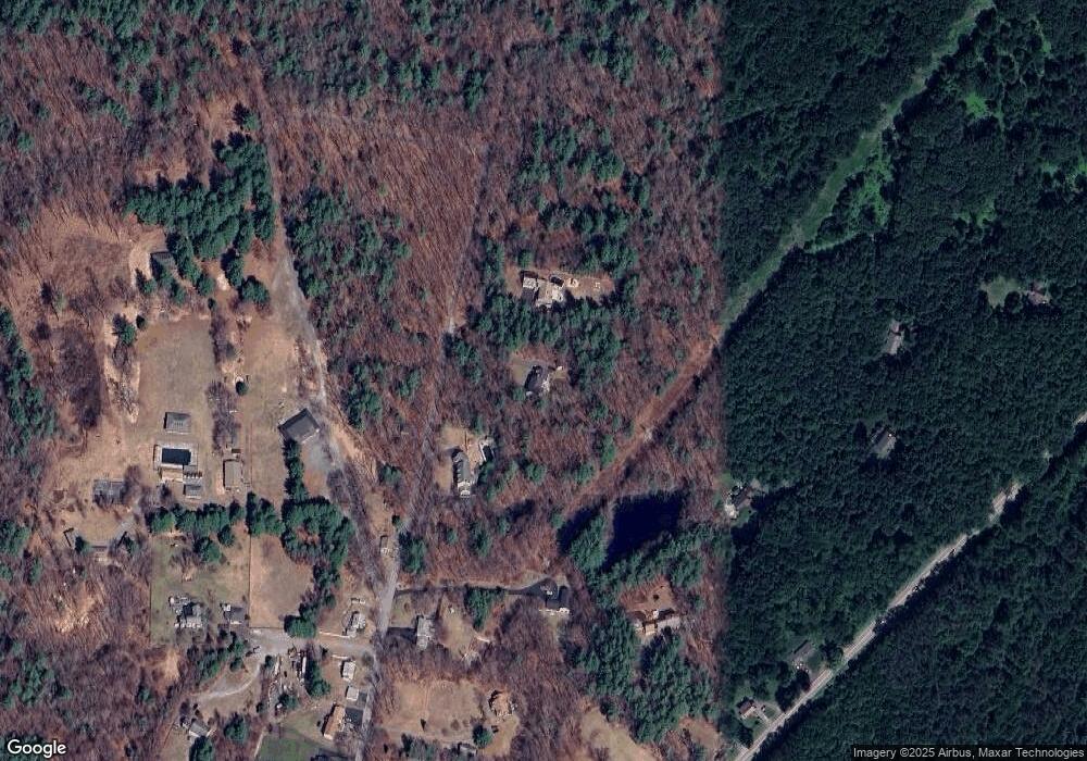
Map
Nearby Homes
- 21 Myrtle Ave
- 2 Lakeview Ave
- 136 Sterling St Unit A3
- 101 Sterling St
- 12 Winthrop St
- 20 Winthrop St
- 0 Boutelle Rd
- 19 Fitch Farm Rd
- 223 Worcester Rd
- 61 Boutelle Rd
- 16 N Main St
- 112 N Main St
- 6 Belmont Dr
- 53 Beach Point Rd
- 20 Woodside Dr
- 45 Kendall Hill Rd
- 19 James Rd
- 19 Sprague Rd
- 526 S Meadow Rd
- 26 Townsend Dr
- 72 Campground Rd
- 62 Campground Rd
- 72 Campground Rd
- 52 Campground Rd
- 439 Lancaster St
- 407 Lancaster St
- 50 Campground Rd
- 49 Campground Rd
- 44 Campground Rd
- 2 Metropolitan Rd
- 435 Lancaster St
- 415 Lancaster St
- 8 Metropolitan Rd
- 47 Campground Rd
- 411 Lancaster St
- 43 Campground Rd
- 405 Lancaster St
- 40 Campground Rd
- 403 Lancaster St
- 54 Campground Rd