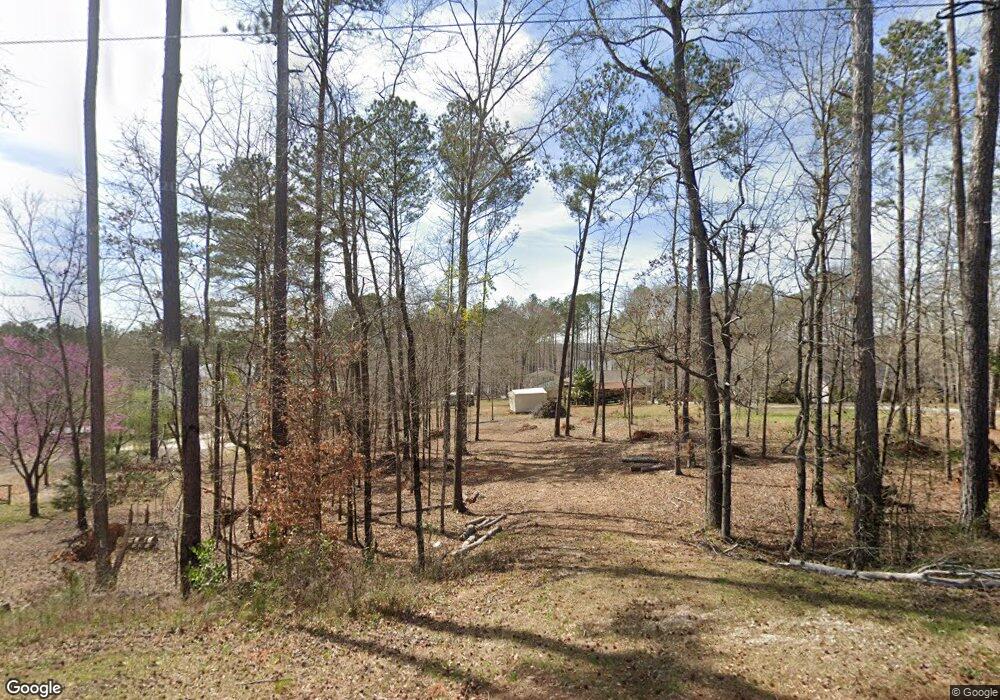
70 Caney Creek Ct Lagrange, GA 30240
Estimated Value: $84,255 - $249,000
--
Bed
--
Bath
--
Sq Ft
1.01
Acres
About This Home
This home is located at 70 Caney Creek Ct, Lagrange, GA 30240 and is currently estimated at $169,418. 70 Caney Creek Ct is a home with nearby schools including Ethel W. Kight Elementary School, Hollis Hand Elementary School, and Franklin Forest Elementary School.
Ownership History
Date
Name
Owned For
Owner Type
Purchase Details
Closed on
Aug 10, 2012
Sold by
Fwb Real Estate Holdings L
Bought by
Vertino Paula and Loveys Deborah
Current Estimated Value
Purchase Details
Closed on
Nov 30, 2011
Sold by
Bell Frank W
Purchase Details
Closed on
Aug 23, 2003
Sold by
Herrin Harvey B and Herrin Brenda E
Bought by
Bell Frank W and Bell Mary E
Purchase Details
Closed on
Aug 22, 2003
Sold by
Caney Creek
Bought by
Herrin Harvey B and Herrin Brenda E
Purchase Details
Closed on
Aug 4, 1989
Bought by
Caney Creek
Create a Home Valuation Report for This Property
The Home Valuation Report is an in-depth analysis detailing your home's value as well as a comparison with similar homes in the area
Home Values in the Area
Average Home Value in this Area
Purchase History
| Date | Buyer | Sale Price | Title Company |
|---|---|---|---|
| Vertino Paula | $49,720 | -- | |
| -- | -- | -- | |
| Bell Frank W | $44,000 | -- | |
| Herrin Harvey B | $25,000 | -- | |
| Caney Creek | -- | -- |
Source: Public Records
Tax History Compared to Growth
Tax History
| Year | Tax Paid | Tax Assessment Tax Assessment Total Assessment is a certain percentage of the fair market value that is determined by local assessors to be the total taxable value of land and additions on the property. | Land | Improvement |
|---|---|---|---|---|
| 2024 | $634 | $23,240 | $20,000 | $3,240 |
| 2023 | $619 | $22,680 | $20,000 | $2,680 |
| 2022 | $633 | $22,680 | $20,000 | $2,680 |
| 2021 | $530 | $17,560 | $14,000 | $3,560 |
| 2020 | $530 | $17,560 | $14,000 | $3,560 |
| 2019 | $533 | $17,680 | $14,000 | $3,680 |
| 2018 | $533 | $17,680 | $14,000 | $3,680 |
| 2017 | $474 | $15,720 | $14,000 | $1,720 |
| 2016 | $551 | $18,254 | $17,600 | $654 |
| 2015 | $551 | $18,254 | $17,600 | $654 |
| 2014 | $552 | $18,254 | $17,600 | $654 |
| 2013 | -- | $17,600 | $17,600 | $0 |
Source: Public Records
Map
Nearby Homes
- 1904 S State Line Rd
- 15 Williams Ct
- 0 Leisure Cove Dr Unit 10619411
- 163 Terri Rd
- 511 Williams Rd
- 205 Long Cove Dr
- 177 Abbottsford Rd
- 0 County Road 278 Unit 22289211
- 0 County Road 278 Unit 23477602
- 0 County Road 278 Unit 173507
- 0 County Road 278 Unit 173510
- 0 County Road 278 Unit 174838
- 265 Neely Rd
- 0 County Road 684 Unit 21414226
- 3414 Rock Mills Rd
- 226 Linda Ln
- 104 Dogwood Point
- 0 Antioch Rd Unit 10656005
- 103 Dogwood Ct
- 4004 White Oak Ln
- 60 Caney Creek Ct
- 80 Caney Creek Ct
- 50 Caney Creek Ct Unit 16 & 17
- 50 Caney Creek Ct
- 98 Caney Creek Ct
- 122 Caney Creek Ct
- 27 Caney Creek Ct
- 629 Deer Pointe Rd
- 2 Caney Creek Ct
- 130 Caney Creek Ct
- 1 Caney Creek Ct
- 138 Caney Creek Ct
- 0 Deer Point Unit LOT 6 8745448
- 0 Deer Point Unit LOT 6 8744684
- 144 Caney Creek Ct
- 595 Deer Pointe Rd
- 595 Deer Pointe Rd Unit 41
- 575 Deer Pointe Rd
- 539 Deer Pointe Rd
- 476 Deer Pointe Rd