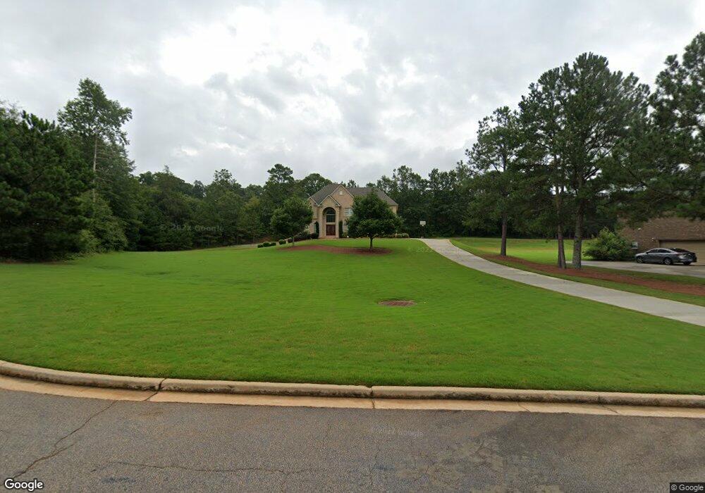
70 Cannonade Ct Covington, GA 30016
Estimated Value: $454,591 - $528,000
--
Bed
4
Baths
3,602
Sq Ft
$137/Sq Ft
Est. Value
About This Home
This home is located at 70 Cannonade Ct, Covington, GA 30016 and is currently estimated at $492,648, approximately $136 per square foot. 70 Cannonade Ct is a home located in Newton County with nearby schools including Livingston Elementary School, Liberty Middle School, and Alcovy High School.
Ownership History
Date
Name
Owned For
Owner Type
Purchase Details
Closed on
Oct 31, 2008
Sold by
Castle Homes Landings Llc
Bought by
Peterkin Novelette
Current Estimated Value
Home Financials for this Owner
Home Financials are based on the most recent Mortgage that was taken out on this home.
Original Mortgage
$322,950
Outstanding Balance
$212,306
Interest Rate
6.11%
Mortgage Type
New Conventional
Estimated Equity
$280,342
Create a Home Valuation Report for This Property
The Home Valuation Report is an in-depth analysis detailing your home's value as well as a comparison with similar homes in the area
Home Values in the Area
Average Home Value in this Area
Purchase History
| Date | Buyer | Sale Price | Title Company |
|---|---|---|---|
| Peterkin Novelette | $403,700 | -- |
Source: Public Records
Mortgage History
| Date | Status | Borrower | Loan Amount |
|---|---|---|---|
| Open | Peterkin Novelette | $322,950 |
Source: Public Records
Tax History Compared to Growth
Tax History
| Year | Tax Paid | Tax Assessment Tax Assessment Total Assessment is a certain percentage of the fair market value that is determined by local assessors to be the total taxable value of land and additions on the property. | Land | Improvement |
|---|---|---|---|---|
| 2024 | $4,474 | $173,880 | $24,800 | $149,080 |
| 2023 | $4,650 | $168,800 | $12,000 | $156,800 |
| 2022 | $4,034 | $146,080 | $12,000 | $134,080 |
| 2021 | $4,391 | $142,480 | $12,000 | $130,480 |
| 2020 | $4,372 | $128,120 | $12,000 | $116,120 |
| 2019 | $4,008 | $115,520 | $11,200 | $104,320 |
| 2018 | $3,858 | $110,400 | $11,200 | $99,200 |
| 2017 | $3,626 | $103,640 | $11,200 | $92,440 |
| 2016 | $3,431 | $97,960 | $11,200 | $86,760 |
| 2015 | $3,263 | $93,080 | $11,200 | $81,880 |
| 2014 | $3,252 | $93,080 | $0 | $0 |
Source: Public Records
Map
Nearby Homes
- 15 Glen Echo Dr
- 110 Collingwood Landing
- 40 Belmont Cir Unit 2
- 230 Belmont Trail
- 245 Belmont Trail
- 70 Cowan Ridge
- 66 Ellis Trail
- 35 Green Hill Ct
- 335 Glen Echo Dr
- 25 Castlehill Ct
- 472 Oak Hill Rd
- 455 Bethany Rd
- 75 Oak Hill Dr
- 190 Oak Hill Cir
- 30 Laurel Way
- 624 Bethany Rd
- 255 Countryside Ln
- 230 Laurel Way
- 30 Oak Wood Ln
- 60 Cannonade Ct
- 80 Cannonade Ct
- 50 Cannonade Ct Unit 4
- 85 Cannonade Ct Unit 10
- 85 Cannonade Ct
- 3730 Highway 81 S Unit 1
- 3730 Highway 81 S
- 0 Bethany Rd
- 00 Bethany Rd
- 0 Bethany Rd Unit 7328952
- 0 Bethany Rd Unit 8629009
- 0 Bethany Rd Unit 8555605
- 0 Bethany Rd Unit 8519762
- 0 Bethany Rd Unit 8056778
- 0 Bethany Rd Unit 8041516
- 0 Bethany Rd Unit 7576930
- 0 Bethany Rd Unit 7558721
- 0 Bethany Rd Unit 7437015
- 0 Bethany Rd Unit 7215532
- 0 Bethany Rd Unit 7121075