70 Canterbury Ct Carlisle, MA 01741
Estimated Value: $1,406,198 - $1,528,000
4
Beds
3
Baths
3,421
Sq Ft
$426/Sq Ft
Est. Value
About This Home
This home is located at 70 Canterbury Ct, Carlisle, MA 01741 and is currently estimated at $1,455,800, approximately $425 per square foot. 70 Canterbury Ct is a home located in Middlesex County with nearby schools including Carlisle School and Middlesex School.
Ownership History
Date
Name
Owned For
Owner Type
Purchase Details
Closed on
Dec 22, 1992
Sold by
Holleman Preston L and Holleman Jane L
Bought by
Symonds Michael J and Harkins Barbara
Current Estimated Value
Create a Home Valuation Report for This Property
The Home Valuation Report is an in-depth analysis detailing your home's value as well as a comparison with similar homes in the area
Home Values in the Area
Average Home Value in this Area
Purchase History
| Date | Buyer | Sale Price | Title Company |
|---|---|---|---|
| Symonds Michael J | $419,000 | -- |
Source: Public Records
Mortgage History
| Date | Status | Borrower | Loan Amount |
|---|---|---|---|
| Open | Symonds Michael J | $178,500 | |
| Closed | Symonds Michael J | $195,700 |
Source: Public Records
Tax History Compared to Growth
Tax History
| Year | Tax Paid | Tax Assessment Tax Assessment Total Assessment is a certain percentage of the fair market value that is determined by local assessors to be the total taxable value of land and additions on the property. | Land | Improvement |
|---|---|---|---|---|
| 2025 | $17,483 | $1,326,500 | $567,200 | $759,300 |
| 2024 | $16,877 | $1,266,100 | $523,600 | $742,500 |
| 2023 | $20,918 | $1,478,300 | $501,500 | $976,800 |
| 2022 | $15,588 | $944,700 | $457,700 | $487,000 |
| 2021 | $15,380 | $944,700 | $457,700 | $487,000 |
| 2020 | $15,154 | $825,400 | $353,100 | $472,300 |
| 2019 | $13,974 | $764,000 | $353,100 | $410,900 |
| 2018 | $13,882 | $764,000 | $353,100 | $410,900 |
| 2017 | $13,326 | $756,300 | $353,100 | $403,200 |
| 2016 | $13,801 | $802,400 | $353,100 | $449,300 |
| 2015 | $12,787 | $673,000 | $353,100 | $319,900 |
| 2014 | $12,545 | $673,000 | $353,100 | $319,900 |
Source: Public Records
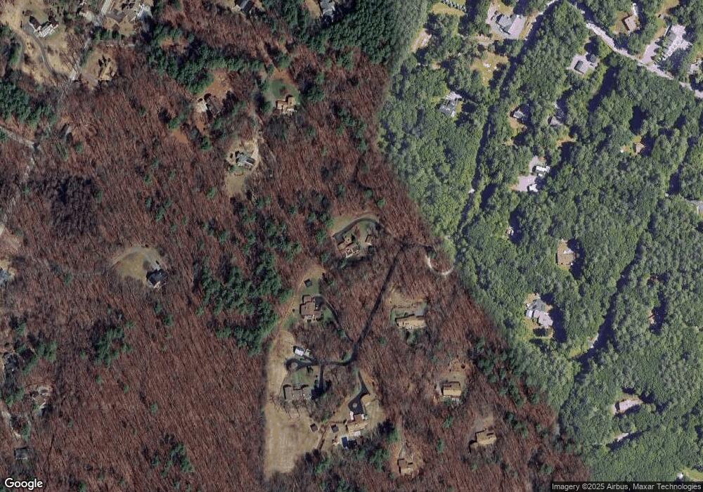
Map
Nearby Homes
- 125 Maple St
- 11 Kay's Walk
- 232 Baldwin Rd
- 282 Brook St
- 373 E Riding Dr
- 383 E Riding Dr
- 7 School St
- 20 Flint Rd
- 210 Monument Farm Rd
- 1 Garrison Way Unit 1
- 225 Lowell St
- 1437-3 Monument St
- 3 Kay's Walk
- 15 Kay's Walk
- 1 Kay's Walk Unit 1
- 1 Kay's Walk
- 13 Kay's Walk
- 15 Kay's Walk Unit 4
- 3 Kay's Walk Unit 3
- 8 Kay's Walk Unit 13
- 94 Canterbury Ct
- 108 Canterbury Ct
- 114 Red Pine Dr
- 104 Canterbury Ct
- 104 Canterbury Ct Unit 104
- 99 Red Pine Dr
- 44 Canterbury Ct
- 107 Canterbury Ct
- 97 Canterbury Ct
- 97 Canterbury Ct Unit 97
- 662 Bedford Rd
- 195 Stearns St
- 100 Stoney Gate
- 97 Stoney Gate
- 103 Canterbury Ct
- 124 Stoney Gate
- 49 Red Pine Dr
- 650 Bedford Rd
- 78 Stoney Gate
- 119 Stearns St