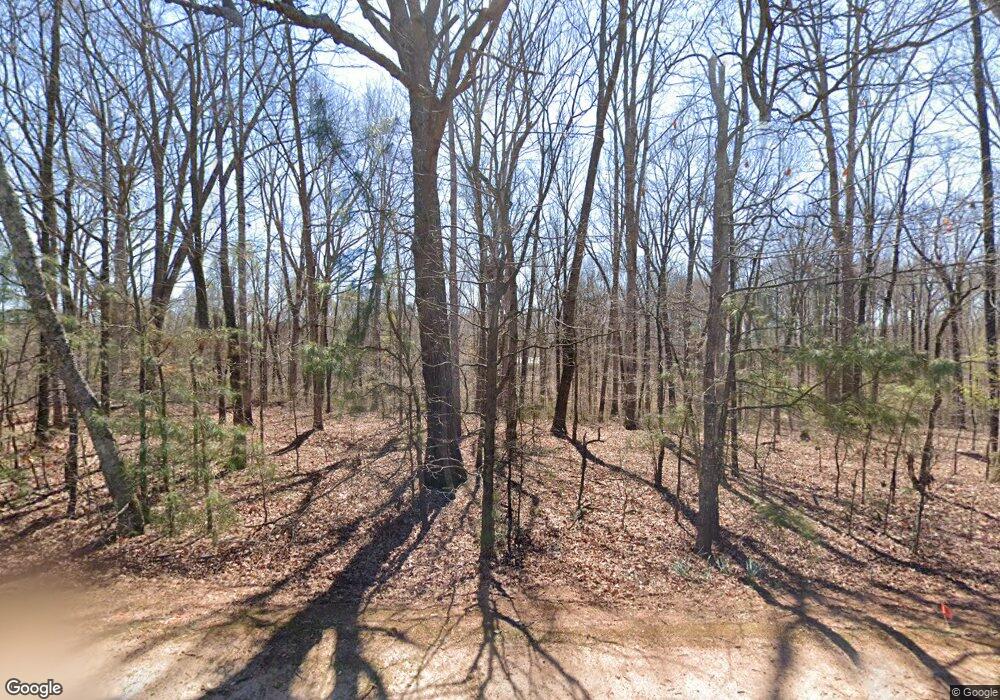
70 Carson Rd Danielsville, GA 30633
Estimated Value: $422,830 - $486,000
4
Beds
3
Baths
2,459
Sq Ft
$185/Sq Ft
Est. Value
About This Home
This home is located at 70 Carson Rd, Danielsville, GA 30633 and is currently estimated at $454,415, approximately $184 per square foot. 70 Carson Rd is a home located in Franklin County with nearby schools including Franklin County High School.
Ownership History
Date
Name
Owned For
Owner Type
Purchase Details
Closed on
Aug 12, 2002
Sold by
Martin Will Ashley T
Bought by
Martin Wilashley T and Aren Ann
Current Estimated Value
Purchase Details
Closed on
Jun 25, 2001
Sold by
Farm Equities
Bought by
Martin Will Ashley T
Purchase Details
Closed on
Apr 19, 2001
Sold by
Steele Scott Edward
Bought by
Farm Equities
Purchase Details
Closed on
Dec 9, 2000
Sold by
Steele Scott Edward
Bought by
Steele Scott Edward
Purchase Details
Closed on
Dec 7, 1998
Bought by
Steele Scott Edward
Create a Home Valuation Report for This Property
The Home Valuation Report is an in-depth analysis detailing your home's value as well as a comparison with similar homes in the area
Home Values in the Area
Average Home Value in this Area
Purchase History
| Date | Buyer | Sale Price | Title Company |
|---|---|---|---|
| Martin Wilashley T | -- | -- | |
| Martin Will Ashley T | $28,700 | -- | |
| Farm Equities | -- | -- | |
| Steele Scott Edward | -- | -- | |
| Steele Scott Edward | $28,700 | -- |
Source: Public Records
Tax History Compared to Growth
Tax History
| Year | Tax Paid | Tax Assessment Tax Assessment Total Assessment is a certain percentage of the fair market value that is determined by local assessors to be the total taxable value of land and additions on the property. | Land | Improvement |
|---|---|---|---|---|
| 2024 | $3,371 | $143,631 | $19,022 | $124,609 |
| 2023 | $3,377 | $132,885 | $19,022 | $113,863 |
| 2022 | $3,125 | $123,135 | $19,022 | $104,113 |
| 2021 | $2,900 | $107,397 | $14,000 | $93,397 |
| 2020 | $2,930 | $107,397 | $14,000 | $93,397 |
| 2019 | $2,831 | $107,397 | $14,000 | $93,397 |
| 2018 | $2,444 | $92,971 | $11,382 | $81,589 |
| 2017 | $2,541 | $92,971 | $11,382 | $81,589 |
| 2016 | $2,406 | $84,444 | $11,382 | $73,062 |
| 2015 | -- | $84,444 | $11,382 | $73,062 |
| 2014 | -- | $84,445 | $11,382 | $73,062 |
| 2013 | -- | $85,442 | $11,382 | $74,059 |
Source: Public Records
Map
Nearby Homes
- 0 5 Points Rd
- 0 Carson Rd Unit LOT 32 10594149
- 0 Carson Rd Unit 7640890
- 1679 Fort Lamar Rd
- 743 Blacks Creek Church Rd
- 0-TRACT 3 Drake Woods Rd
- 163 M t Trail
- 404 Haggard Dr
- 7527 Highway 326
- 482 Hooper Rd
- 24 Tomlin Way
- 1020 Riverbend Rd
- 775 Riverbend Rd
- 5591 Jot Em Down Rd
- 0 Jot Em Down Tract 3 Rd
- 0 Jot Em Down Rd Unit 10572092
- 0 Jot Em Down Rd Unit 7633000
- 0 Jot Em Down Rd Unit 10572079
- 0 McGinnis Chandler Rd Unit 10454923
- 0 McGinnis Chandler Rd Unit 7521185
- 822 Carson Rd
- 173 Carson Rd
- 1436 E County Line Rd
- 67 Carson Rd
- 260 Carson Rd
- 736 Carson Rd
- 112 Carson Rd
- 1404 E County Line Rd
- 720 Carson Rd
- 745 Carson Rd
- 0000 E County Line Rd
- 00 E County Line Rd
- 00 E County Line Rd
- 0 E County Line Rd Unit 20122898
- 0 E County Line Rd Unit 10143392
- 0 E County Line Rd Unit 1005288
- 0 E County Line Rd Unit 9077796
- 353 Carson Rd
- 1347 No Where Rd
- 1347 Nowhere Rd
