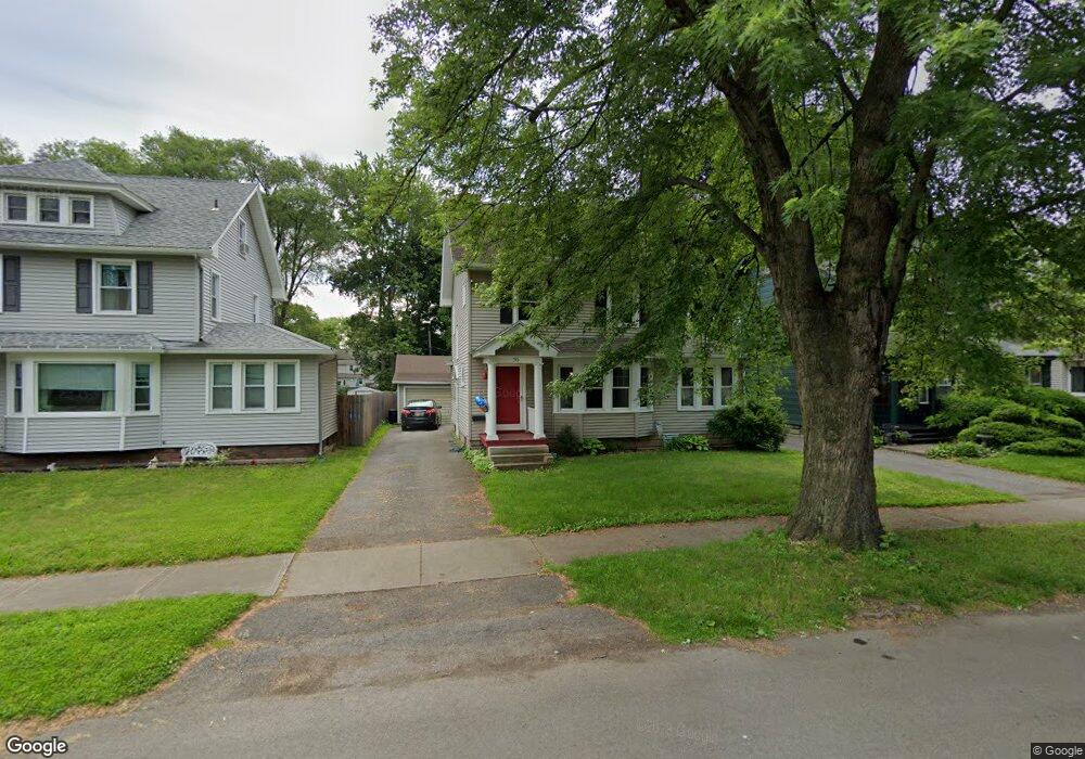
70 Cedarwood Rd Rochester, NY 14617
Estimated Value: $245,000 - $279,000
3
Beds
1
Bath
1,562
Sq Ft
$167/Sq Ft
Est. Value
About This Home
This home is located at 70 Cedarwood Rd, Rochester, NY 14617 and is currently estimated at $260,460, approximately $166 per square foot. 70 Cedarwood Rd is a home located in Monroe County with nearby schools including Dake Junior High School, Irondequoit High School, and St Kateri School.
Ownership History
Date
Name
Owned For
Owner Type
Purchase Details
Closed on
Mar 3, 2020
Sold by
Shiko Alescio Jessica M
Bought by
Alescio Keith L
Current Estimated Value
Purchase Details
Closed on
Nov 6, 2008
Sold by
Vincent Alfred
Bought by
Alescio Keith
Home Financials for this Owner
Home Financials are based on the most recent Mortgage that was taken out on this home.
Original Mortgage
$94,474
Outstanding Balance
$62,015
Interest Rate
6.08%
Mortgage Type
FHA
Estimated Equity
$198,445
Create a Home Valuation Report for This Property
The Home Valuation Report is an in-depth analysis detailing your home's value as well as a comparison with similar homes in the area
Home Values in the Area
Average Home Value in this Area
Purchase History
| Date | Buyer | Sale Price | Title Company |
|---|---|---|---|
| Alescio Keith L | -- | Stewart Title Insurance Co | |
| Alescio Keith | $89,300 | Bill Creary |
Source: Public Records
Mortgage History
| Date | Status | Borrower | Loan Amount |
|---|---|---|---|
| Open | Alescio Keith | $94,474 |
Source: Public Records
Tax History Compared to Growth
Tax History
| Year | Tax Paid | Tax Assessment Tax Assessment Total Assessment is a certain percentage of the fair market value that is determined by local assessors to be the total taxable value of land and additions on the property. | Land | Improvement |
|---|---|---|---|---|
| 2024 | $6,304 | $189,000 | $34,000 | $155,000 |
| 2023 | $6,072 | $189,000 | $34,000 | $155,000 |
| 2022 | $6,158 | $125,500 | $32,400 | $93,100 |
| 2021 | $6,102 | $125,500 | $32,400 | $93,100 |
| 2020 | $5,222 | $125,500 | $32,400 | $93,100 |
| 2019 | $4,927 | $125,500 | $32,400 | $93,100 |
| 2018 | $4,973 | $125,500 | $32,400 | $93,100 |
| 2017 | $2,585 | $120,000 | $17,600 | $102,400 |
| 2016 | $4,927 | $120,000 | $17,600 | $102,400 |
| 2015 | -- | $120,000 | $17,600 | $102,400 |
| 2014 | -- | $120,000 | $17,600 | $102,400 |
Source: Public Records
Map
Nearby Homes
- 95 Mayville Ln
- 275 Titus Ave
- 25 Charlton Rd
- 67 Briarwood Dr
- 2956 Saint Paul Blvd
- 146 Leland Rd
- 78 Parkside Crescent
- 10 Chimayo Rd
- 151 Seville Dr
- 180 Daley Blvd
- 329 Somershire Dr
- 248 Chestnut Hill Dr
- 70 Cooper Rd
- 98 Cooper Rd
- 170 East Pkwy
- 325 Wimbledon Rd
- 79 Drake Dr
- 121 Burwell Rd
- 109 Drake Dr
- 20 Parr Cir
- 76 Cedarwood Rd
- 64 Cedarwood Rd
- 58 Cedarwood Rd
- 82 Cedarwood Rd
- 52 Cedarwood Rd
- 88 Cedarwood Rd
- 95 Hardison Rd
- 69 Mayfair Dr
- 48 Cedarwood Rd
- 75 Mayfair Dr
- 61 Mayfair Dr
- 94 Cedarwood Rd
- 91 Hardison Rd
- 55 Mayfair Dr
- 128 Charlton Rd
- 42 Cedarwood Rd
- 89 Mayfair Dr
- 85 Hardison Rd
- 100 Cedarwood Rd
- 49 Mayfair Dr